


Location:
Nearest Venues:
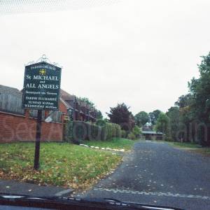

Stourport-on-Severn, Worcestershire
1,395 metres*


*Distances are calculated in a straight line from the current venue, please allow extra time/distance based on available paths or roads.