See Around Britain & Europe Logo
  • Map
  • Language
  • Accessibility
  • About/Help Us
  • How To Use
  • Search
  • Key Facts
  • Basic Travel Needs
  • Help Me (Mayday)
  • Log in

Accessibility options

Font Size

Increase Decrease Reset

Colour Variations

White on Black Yellow Background Reset

Enlarging Images

When viewing a Venue, all of the thumbnails can be enlarged by clicking on them. On mobile devices you can also zoom in further using touch gestures (pinch with two fingers to zoom in and out).

Map Options

Icon Description
Example zoom buttons for map There are options to zoom in and out at the top right of the map (alternatively you can use the mouse scroll wheel or touchscreen gestures)
Example of the layers button for map At the top right of the map there is a layers button which allows you to choose different map styles
❰ Back

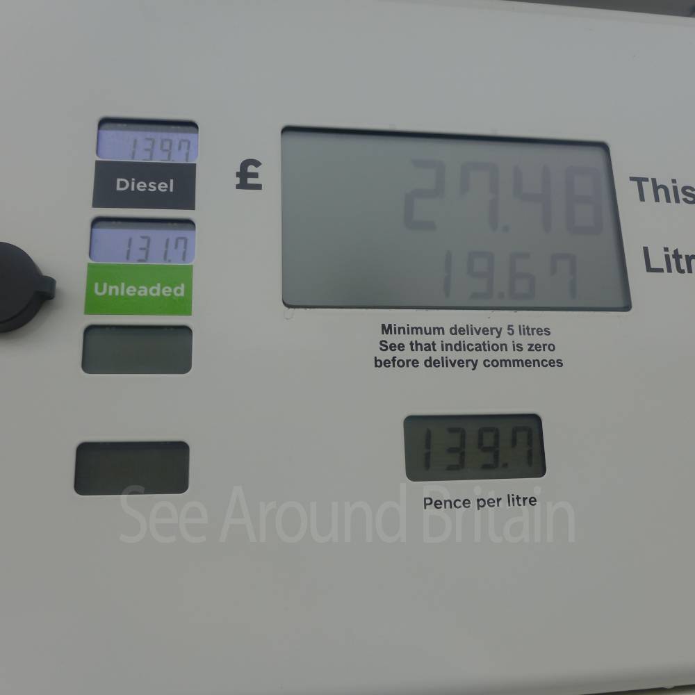
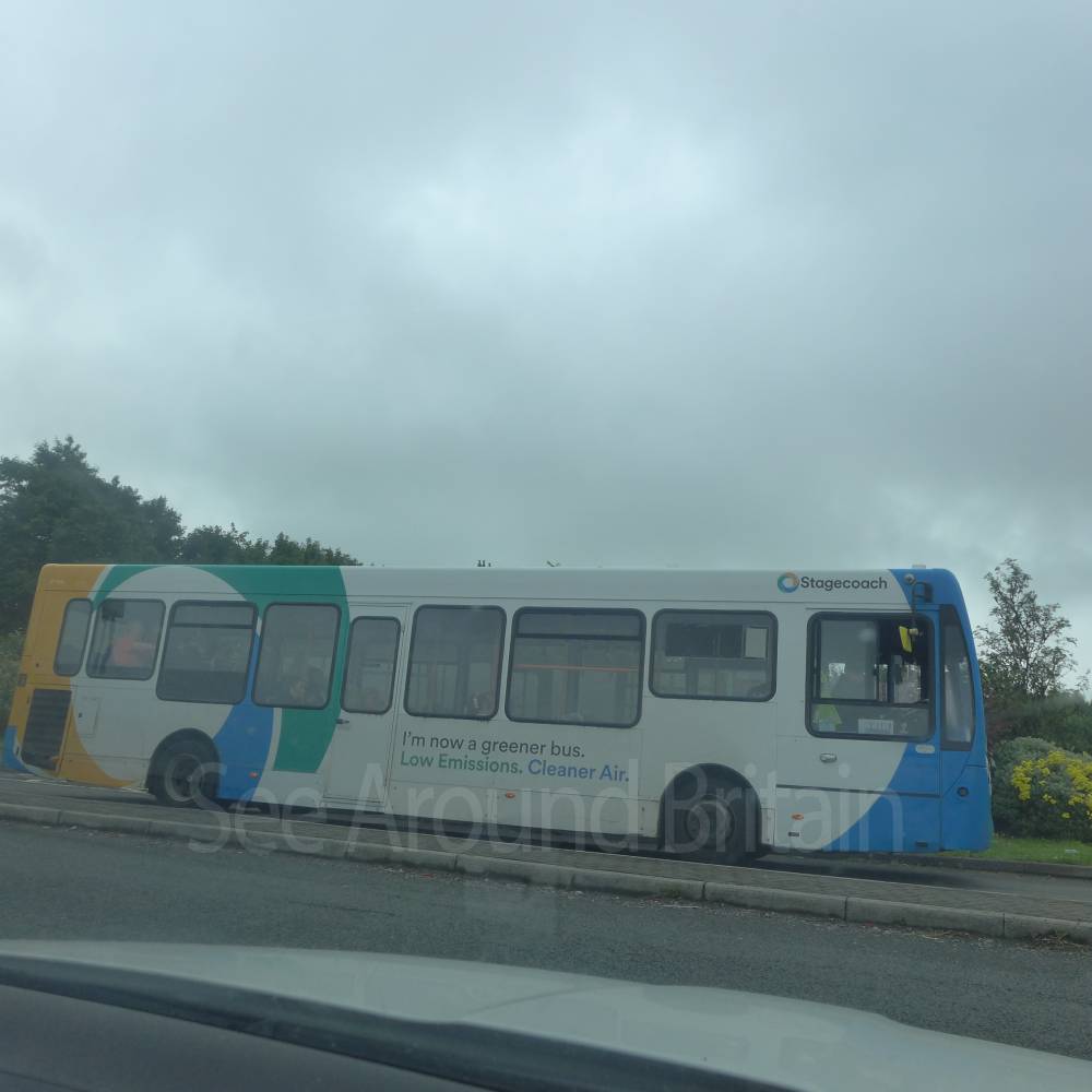
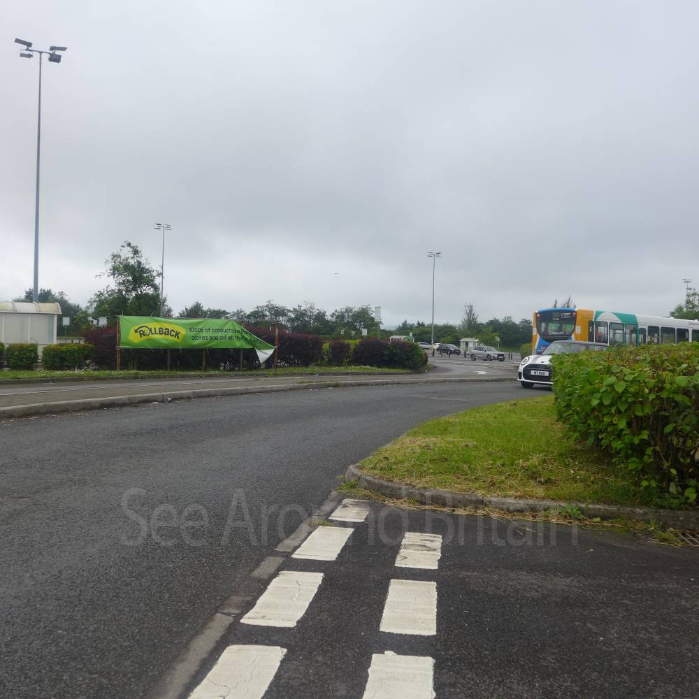
Asda Supermarket, cafe and Petrol Station, Dowlais Top, Merthyr Tydfil CF48 2YF


Location:

Nearest Venues:

A465 Heads of the Valleys Road, Dowlais, Merthyr Tydfil, Glamorgan, Wales

141 metres*

Pengarnddu Industrial Estate, Merthyr Tydfil

266 metres*

A465 Dual Carriageway Construction in 2023, Dowlais Top, Merthyr Tydfil

315 metres*

Lidl supermarket, Heads of the Valleys Road Penygarnddu Industrial Estate, A465, Merthyr Tydfil

346 metres*

Texaco Valley Heights petrol station and SPAR convenience store, Dowlais, Merthyr Tydfil CF48 2YE

392 metres*

Dowlais Village, Merthyr Tydfil, open daily, free admission

699 metres*


*Distances are calculated in a straight line from the current venue, please allow extra time/distance based on available paths or roads.

Our charity urgently needs online volunteers: please go to About/Help Us

Disclaimer: All efforts are made to ensure that any information is correct, but always check with the venue owner in case any details have changed before planning a visit.
All images © Copyright See Around Britain & See Around Europe, all rights reserved. Privacy Policy