


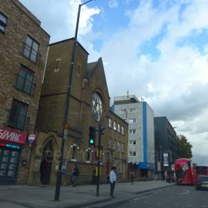
Location:
Nearest Venues:
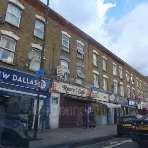
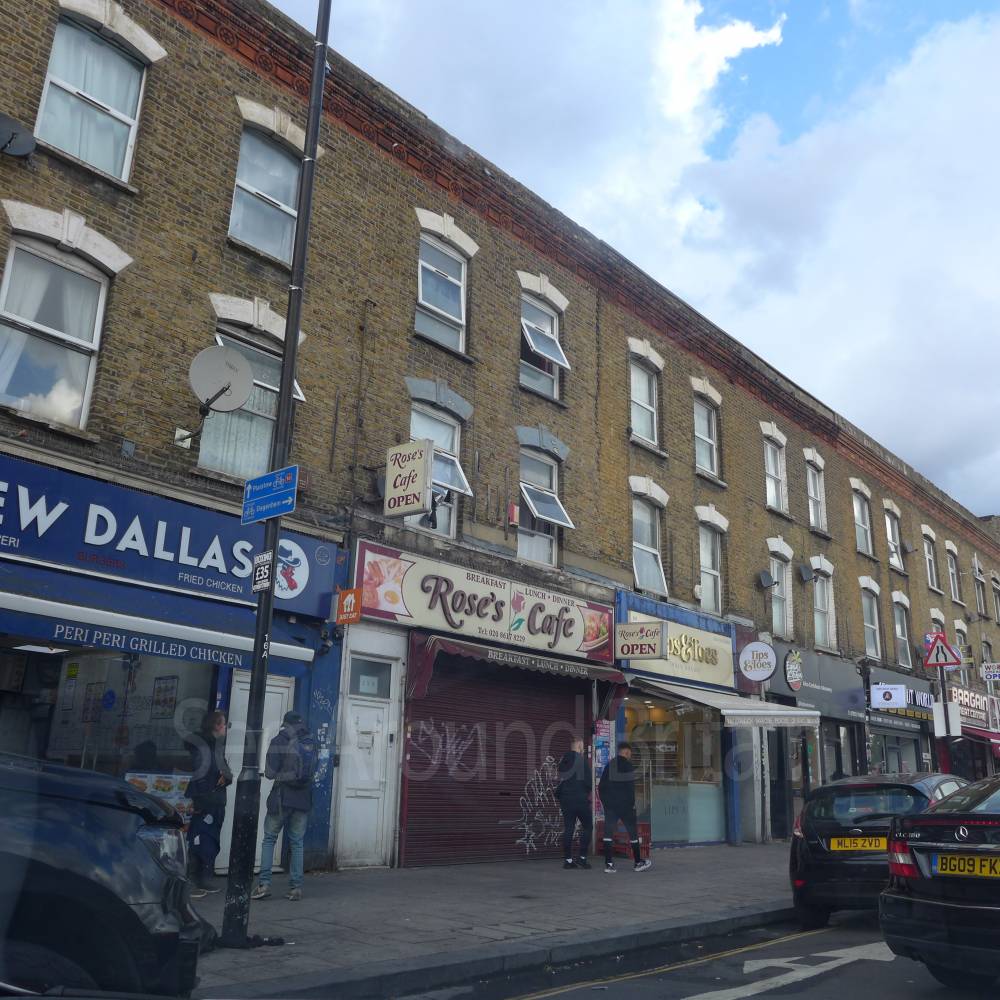
Rose’s Cafe, Canning Town, London
104 metres*
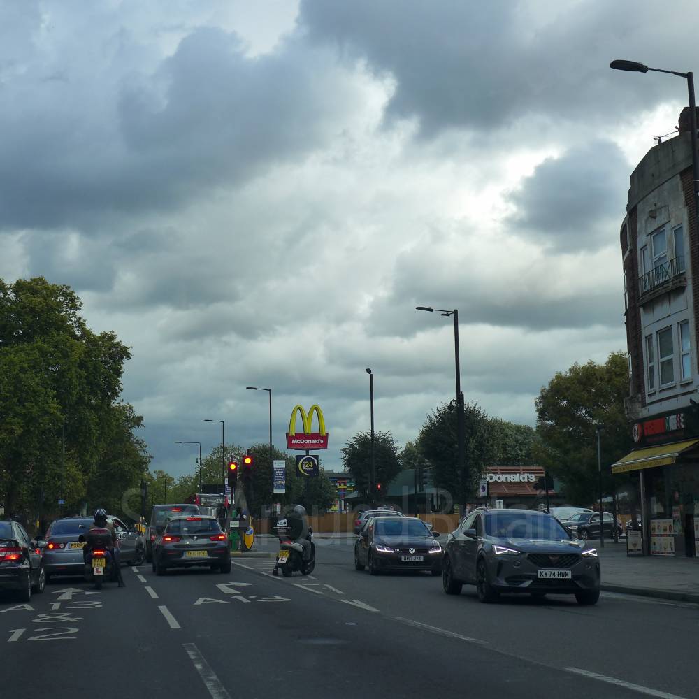
McDonald's, Canning Town, London
110 metres*

133 metres*

The Princess Alexandra, Barking Road, London
203 metres*

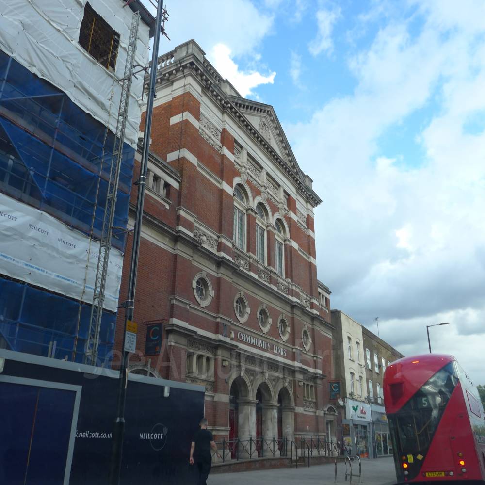
Community Links, Canning Town, London
204 metres*
St Margaret's Church, Canning Town, London
364 metres*
*Distances are calculated in a straight line from the current venue, please allow extra time/distance based on available paths or roads.