

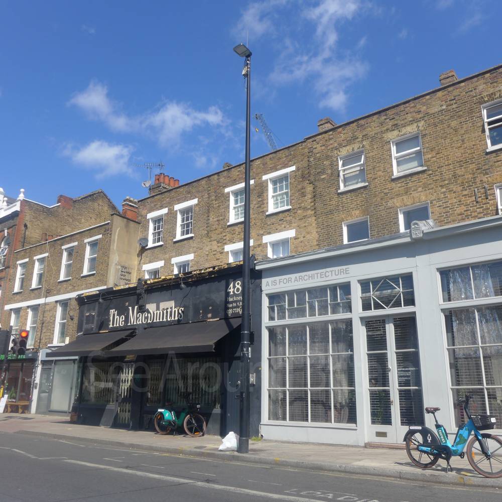
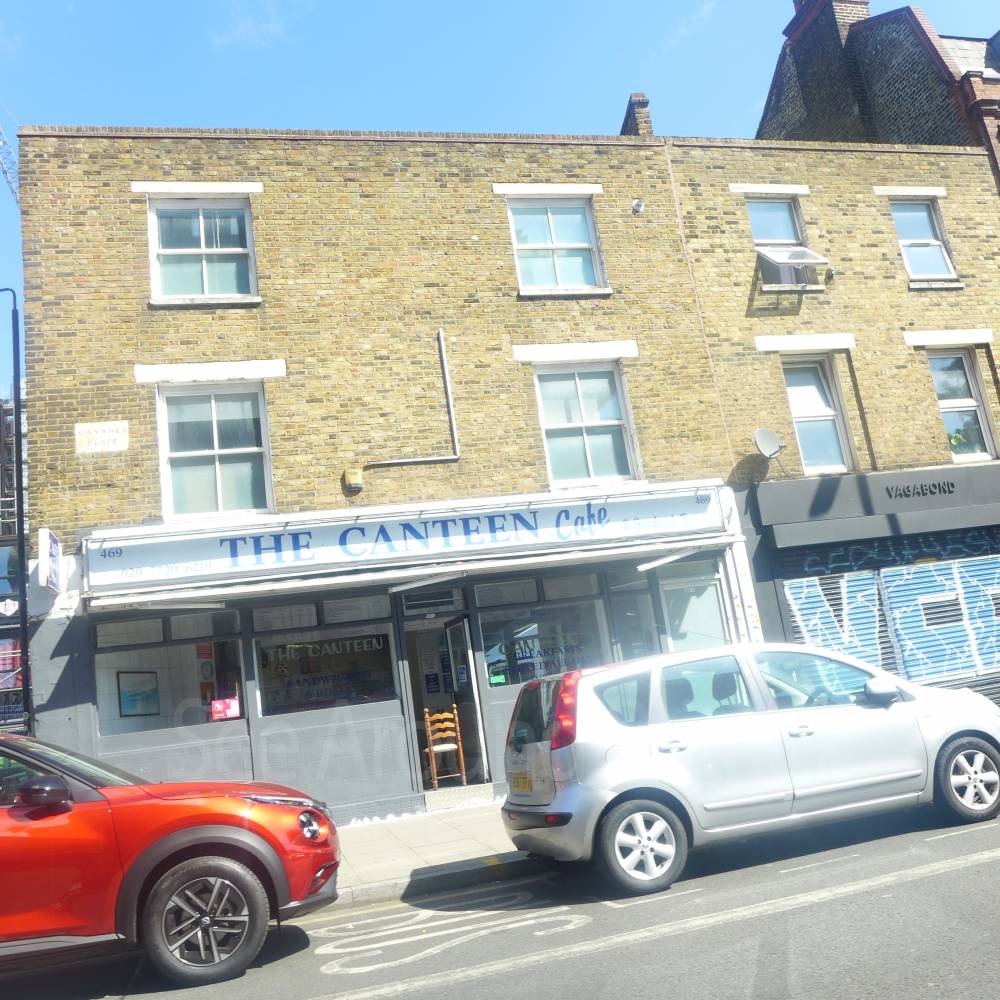
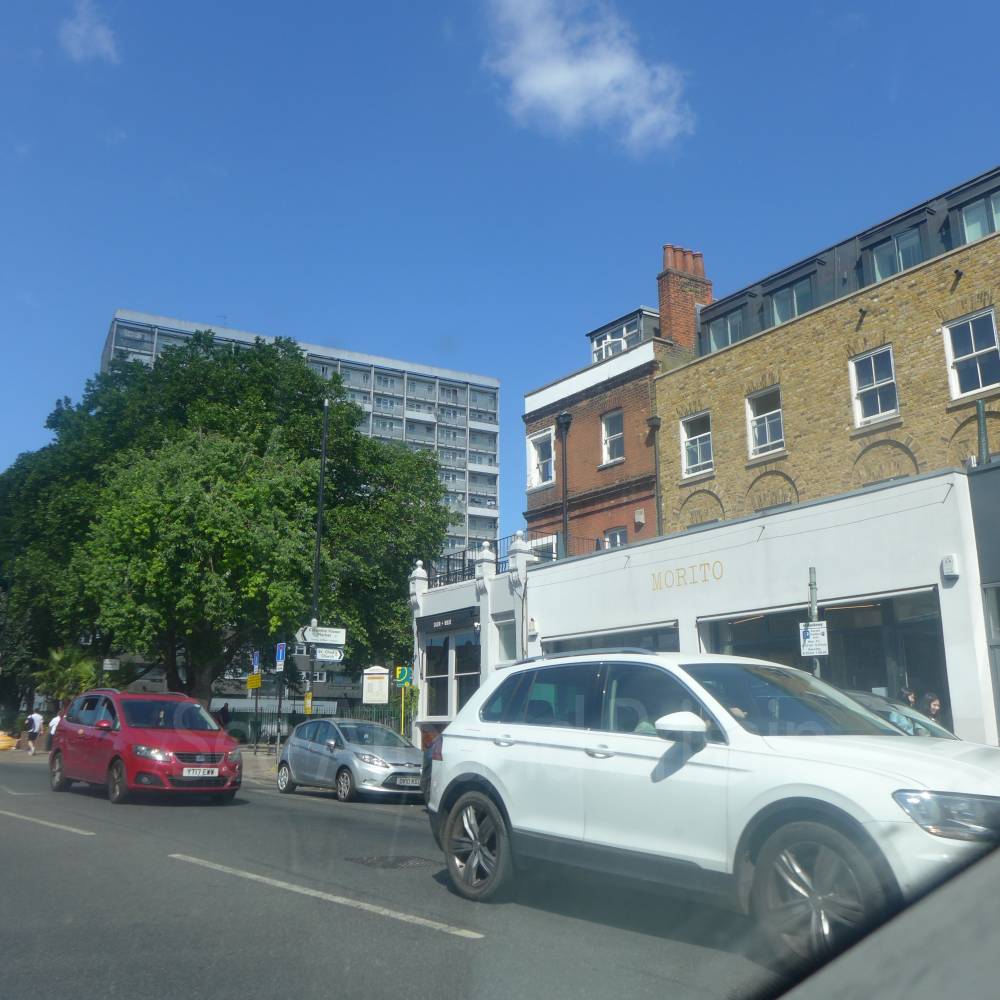
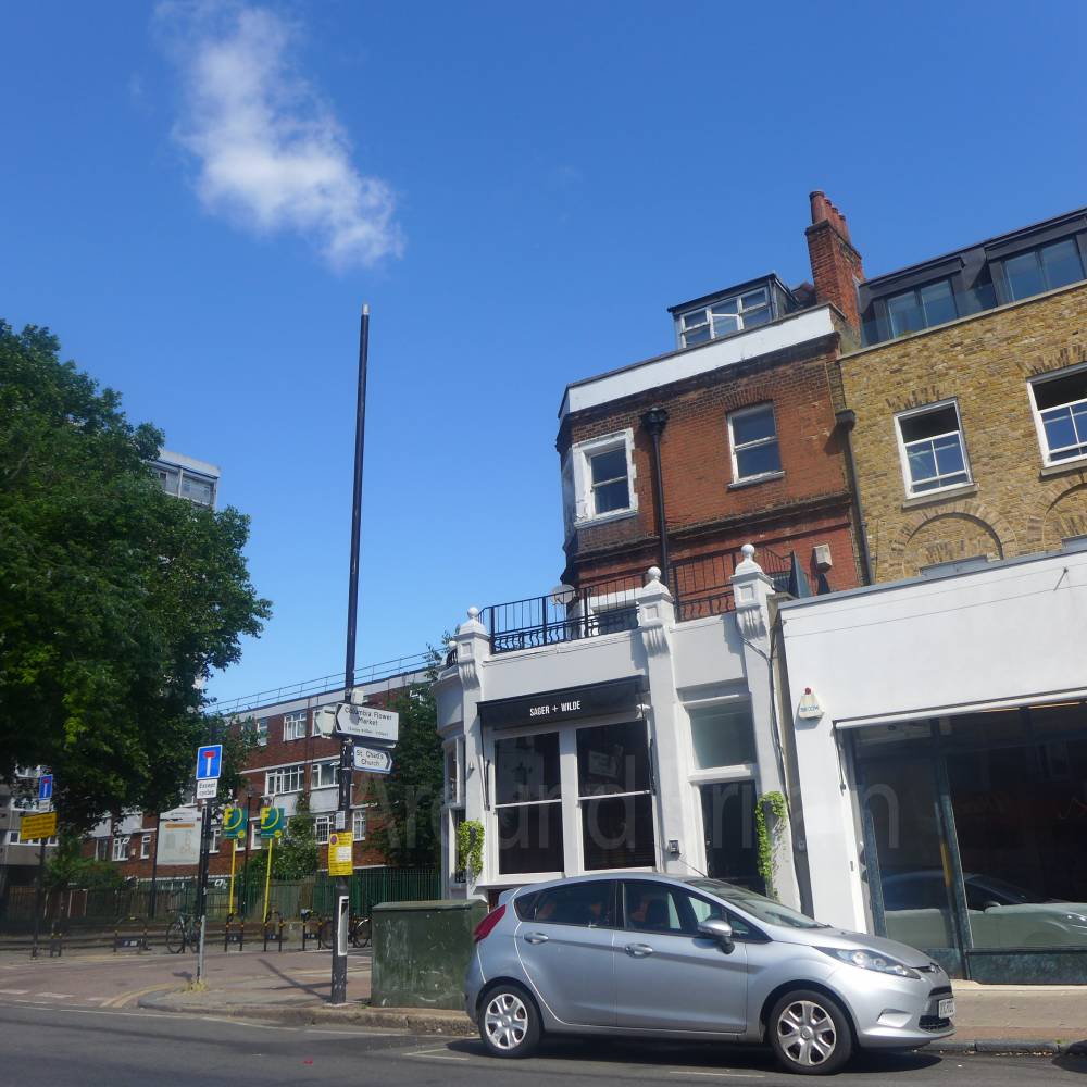
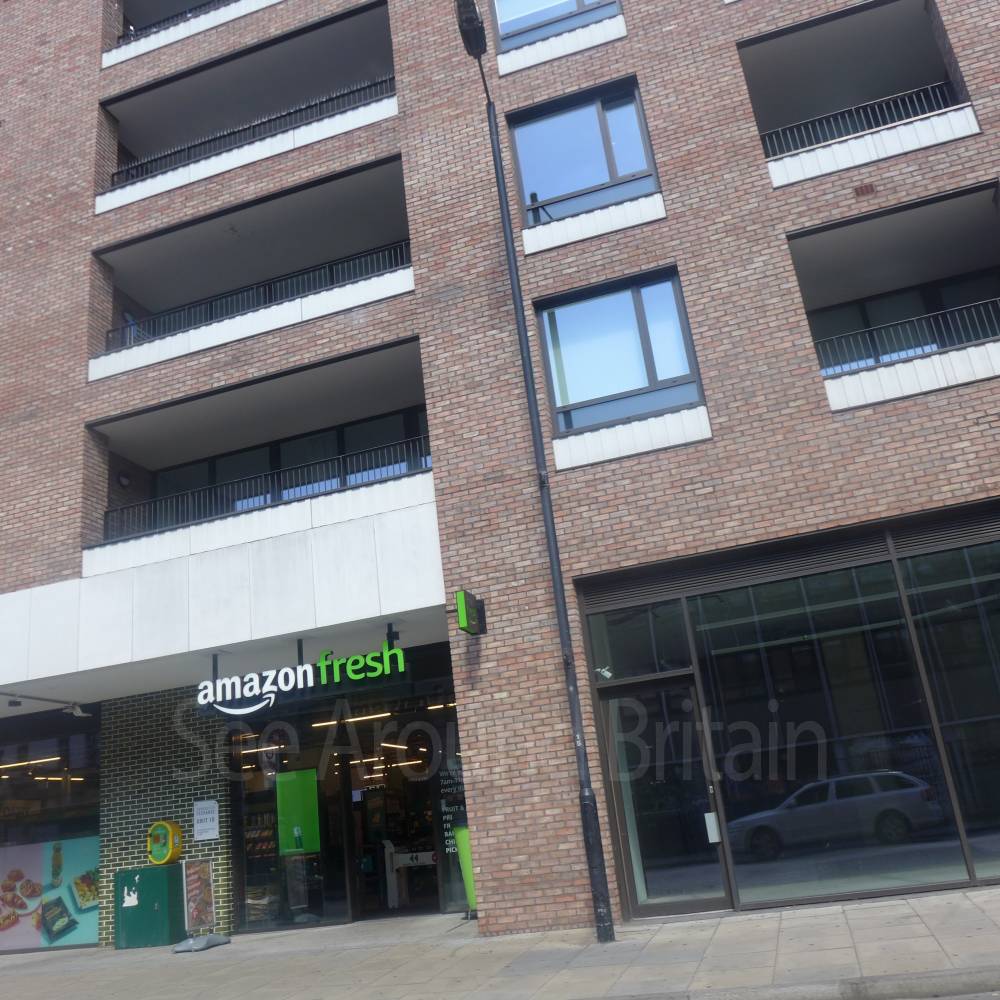
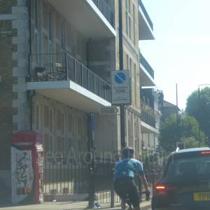
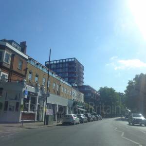
Hackney Road, London
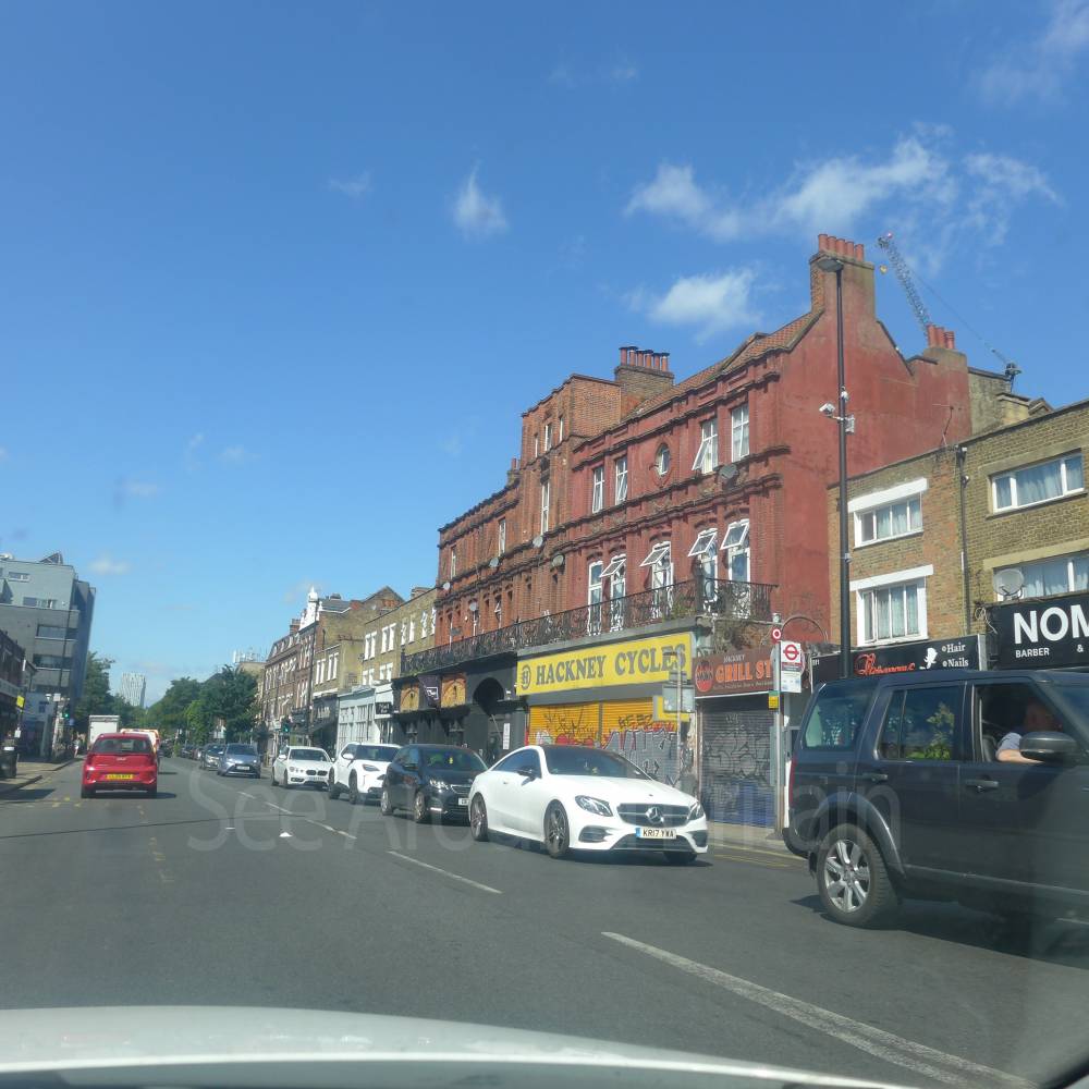

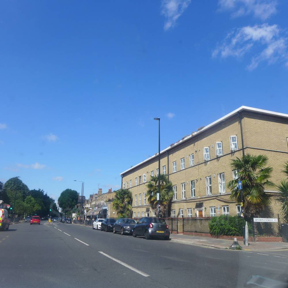
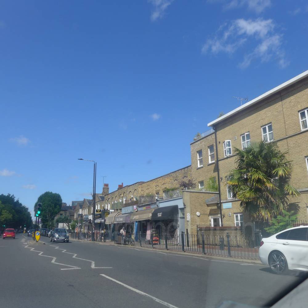
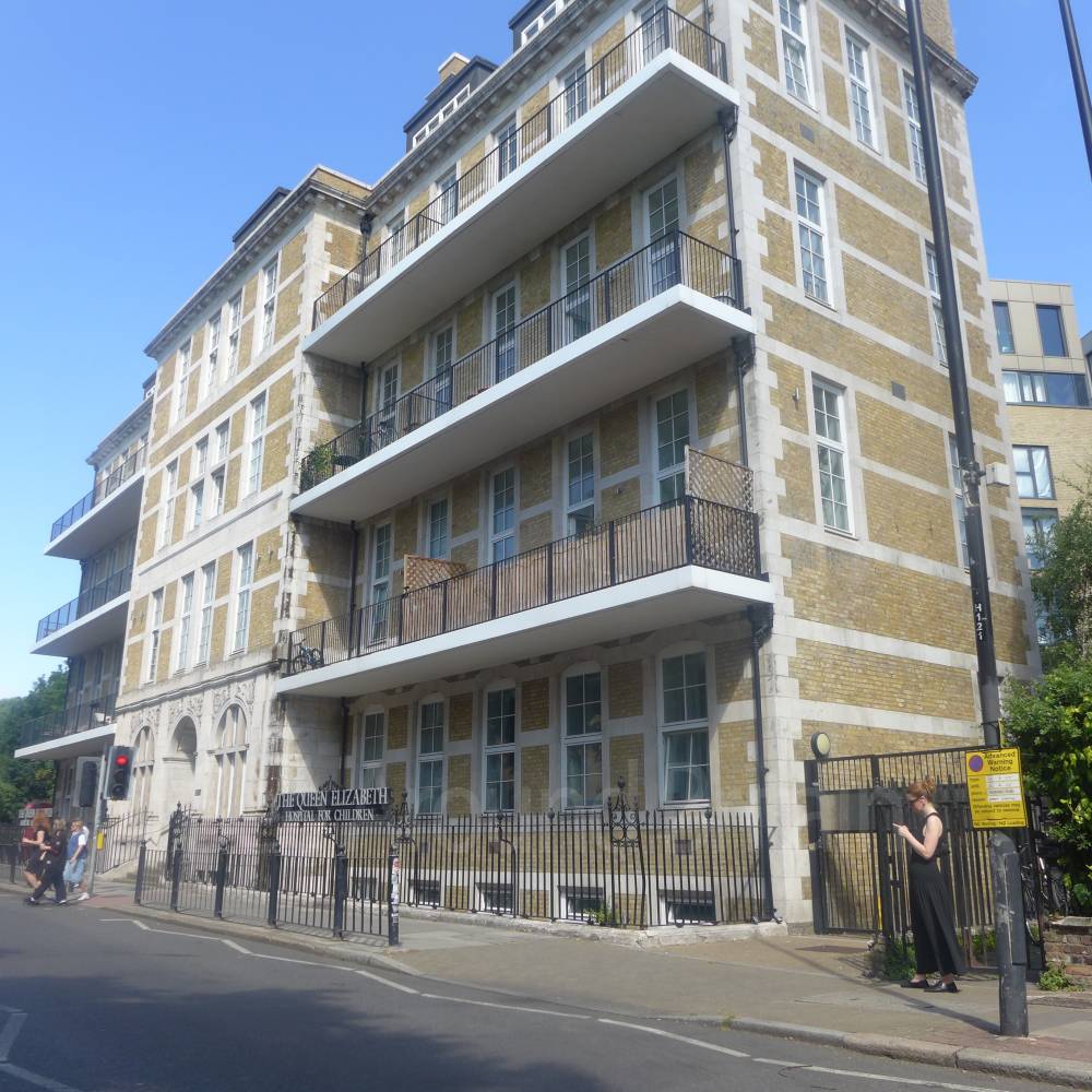
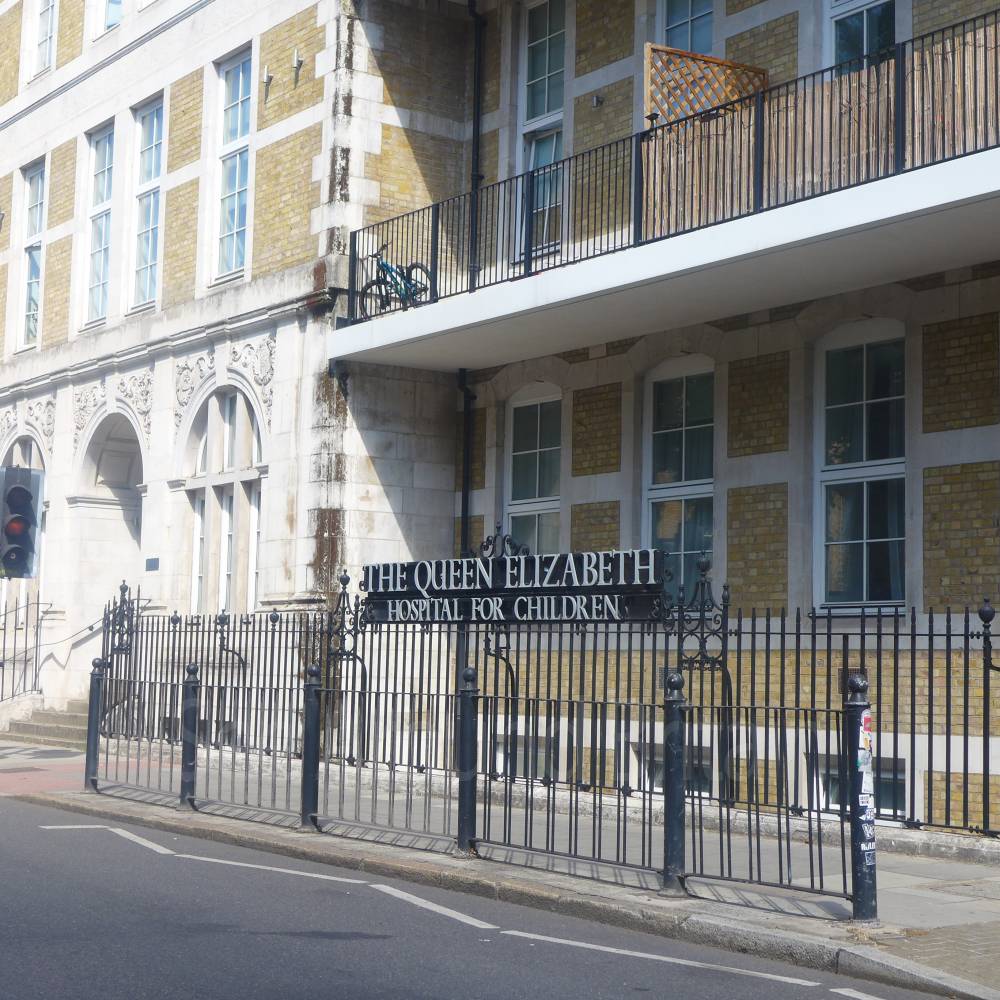
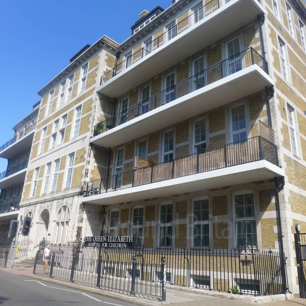
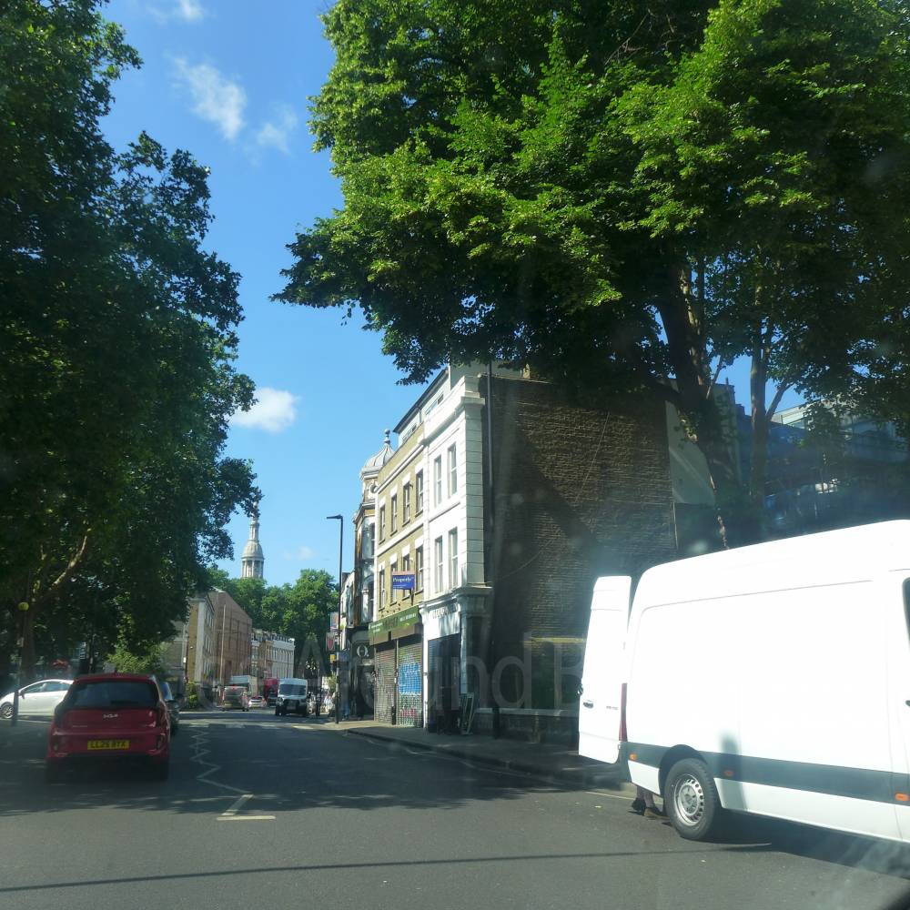
Location:
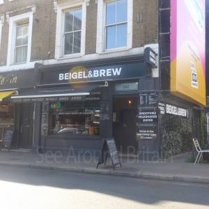
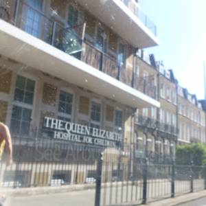
Nearest Venues:
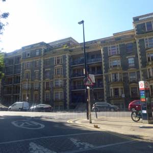
72 metres*

*Distances are calculated in a straight line from the current venue, please allow extra time/distance based on available paths or roads.