


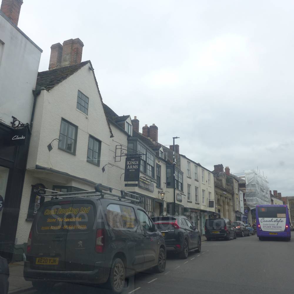
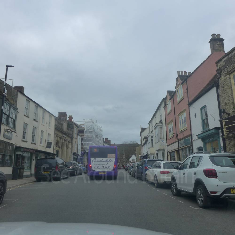
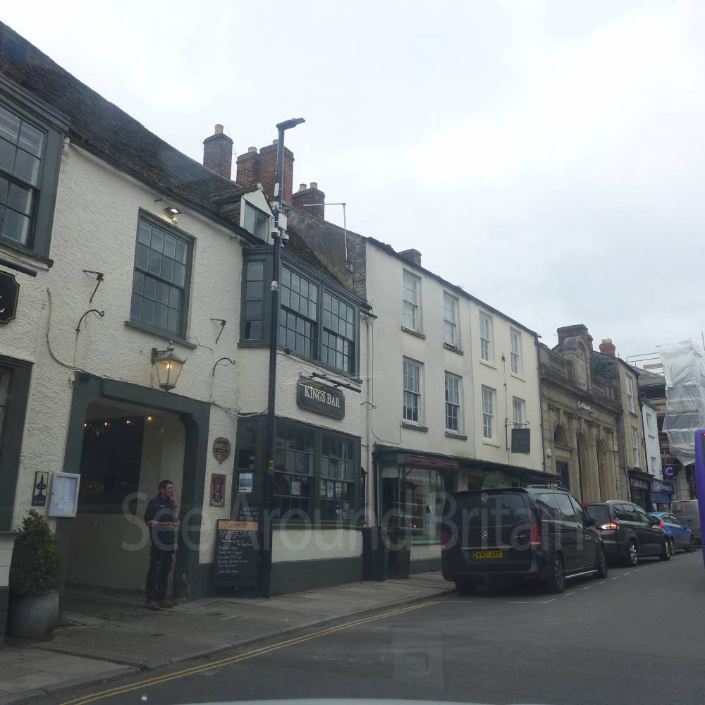
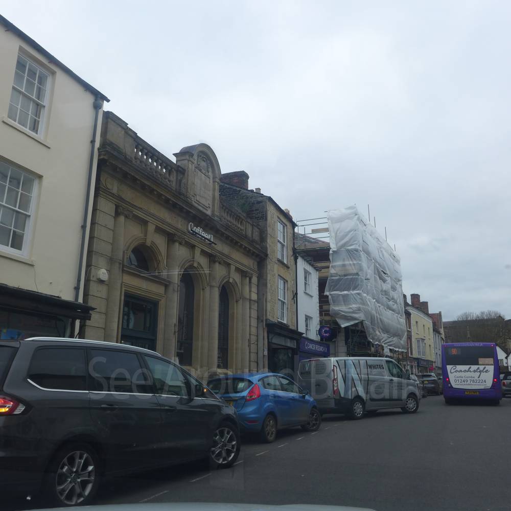
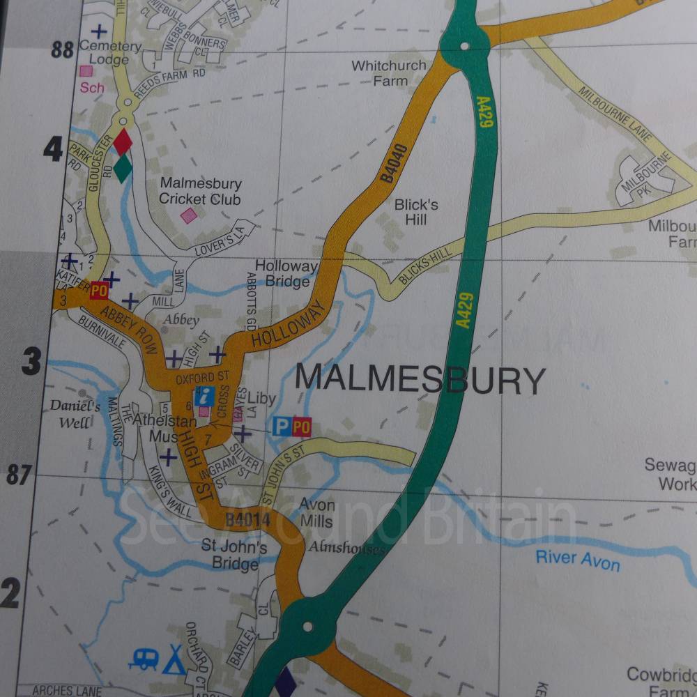
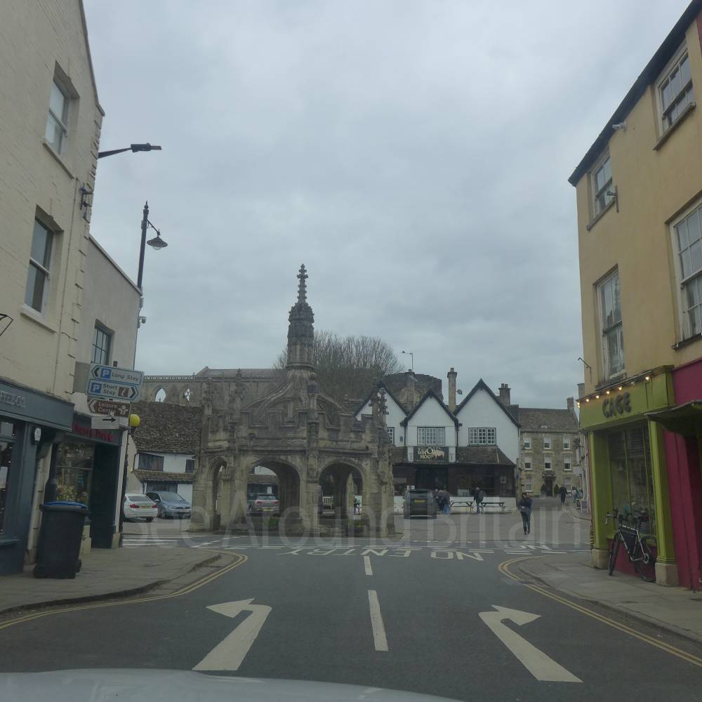
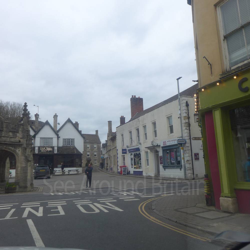
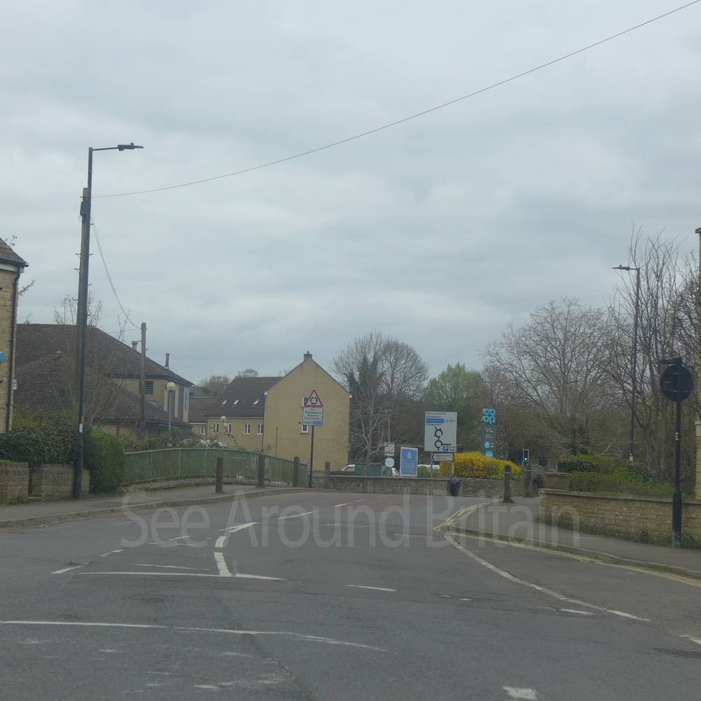
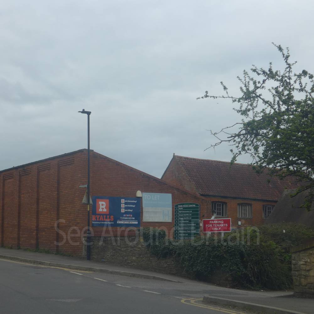
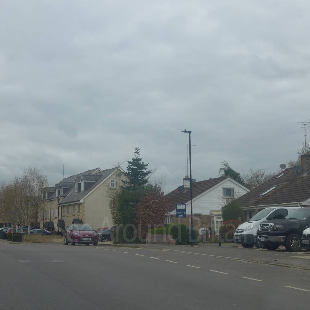
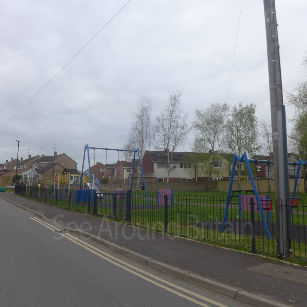
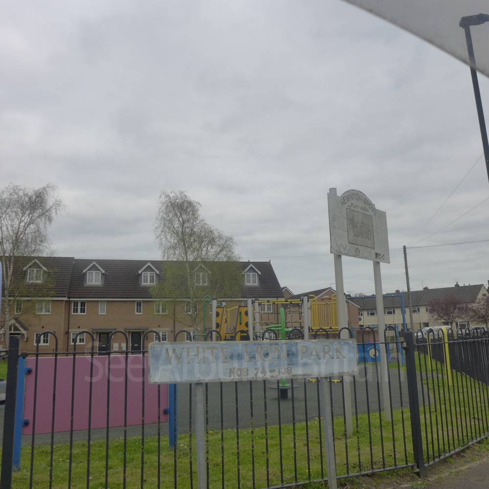
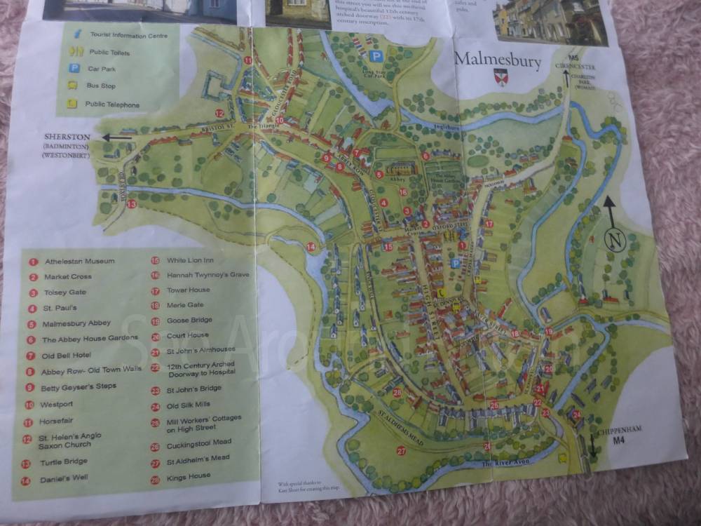
Location:
Nearest Venues:

*Distances are calculated in a straight line from the current venue, please allow extra time/distance based on available paths or roads.
When viewing a Venue, all of the thumbnails can be enlarged by clicking on them. On mobile devices you can also zoom in further using touch gestures (pinch with two fingers to zoom in and out).
| Icon | Description |
|---|---|
 |
There are options to zoom in and out at the top right of the map (alternatively you can use the mouse scroll wheel or touchscreen gestures) |

|
At the top right of the map there is a layers button which allows you to choose different map styles |
*Distances are calculated in a straight line from the current venue, please allow extra time/distance based on available paths or roads.