

Marshfield, Gloucestershire


Details
Accessibility
Brief description
https://en.wikipedia.org/wiki/Marshfield,_Gloucestershire
"Marshfield is a town Gloucestershire, adjacent to the borders with Wiltshire and Somerset. Its name is from the Old English language word "mearc" meaning a border, rather than "marsh" in the sense of bog. It forms a detached part of Thornbury Hundred.
Marshfield is in the south of the county, at the southern end of the Cotswold Hills, eight miles north of Bath, fifteen miles east of Bristol and twenty-eight miles south of Gloucester. The A420 road bypasses the town on its northern side.
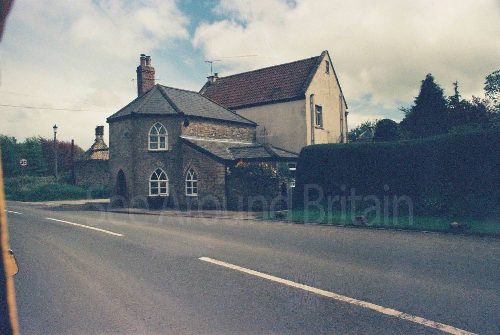
To the north of Marshfield is a long stretch of flat-looking fields bordered by dry-stone walls. To the south, the view and the country is quite different, for one is quickly into the wooded valleys and hedge-lined fields of northern Somerset.
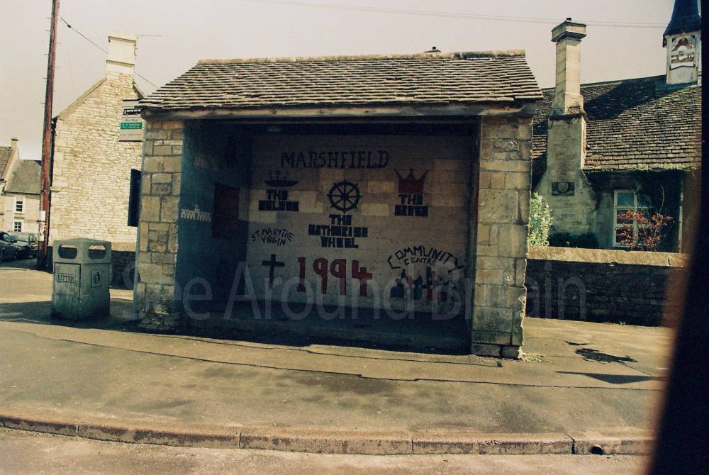
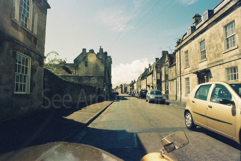
High Street is the single main thoroughfare of Marshfield and is approximately 400 yards long and straight. The eastern part of the town contains the parish church, Manor House and Home Farm, a group of historic buildings noted for their architectural features."
Address
Phone
Website
https://en.wikipedia.org/wiki/Marshfield,_Gloucestershire
Directions
Opening Times
Always check with the venue directly for up-to-date information including opening times and admission charges as they may be subject to change
Transport
Amenities
Travel Information
For further travel information please see: www.traveline.info
Or call Traveline on 0871 200 22 33
(Calls cost 12p per minute plus your phone company's access charge)
Location
Nearest Venues


St Catherine's Church, St Catherine, Somerset
2.24 miles*

St Catherine's Court, St Catherine, Somerset
2.25 miles*

2.41 miles*

*Distances are calculated in a straight line from the current venue, please allow extra time/distance based on available paths or roads.