See Around Britain & Europe Logo
  • Map
  • Language
  • Accessibility
  • About/Help Us
  • How To Use
  • Search
  • Key Facts
  • Basic Travel Needs
  • Help Me (Mayday)
  • Log in

Accessibility options

Font Size

Increase Decrease Reset

Colour Variations

White on Black Yellow Background Reset

Enlarging Images

When viewing a Venue, all of the thumbnails can be enlarged by clicking on them. On mobile devices you can also zoom in further using touch gestures (pinch with two fingers to zoom in and out).

Map Options

Icon Description
Example zoom buttons for map There are options to zoom in and out at the top right of the map (alternatively you can use the mouse scroll wheel or touchscreen gestures)
Example of the layers button for map At the top right of the map there is a layers button which allows you to choose different map styles
❰ Back

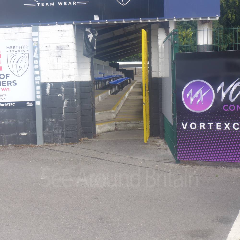
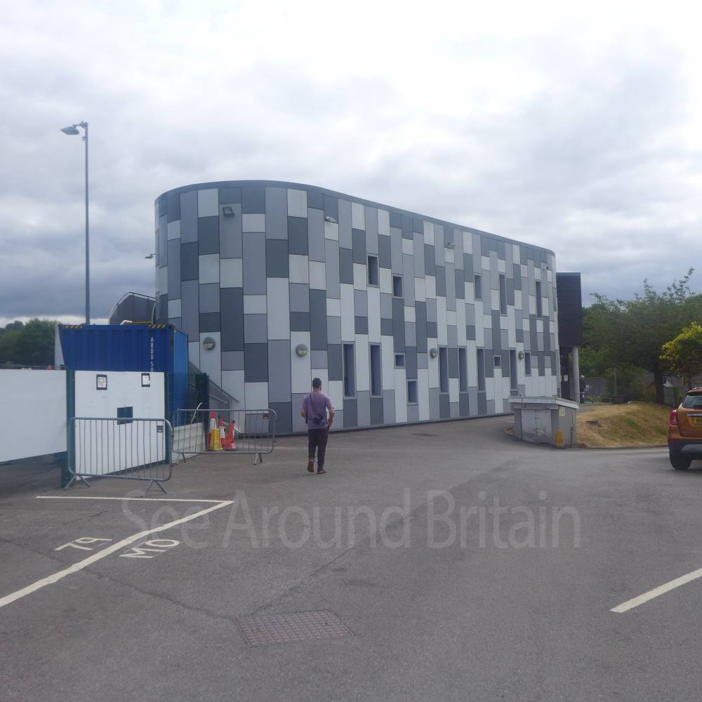
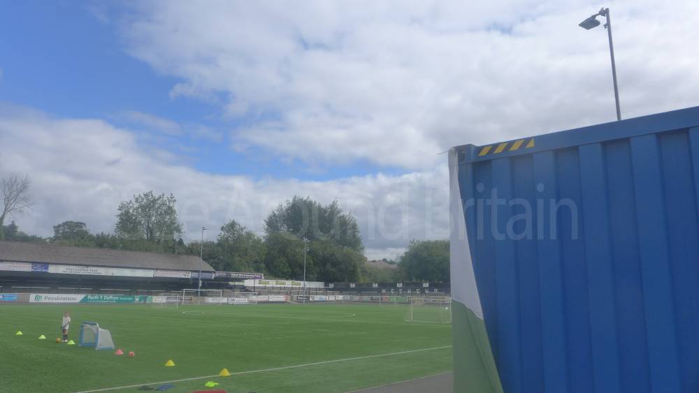
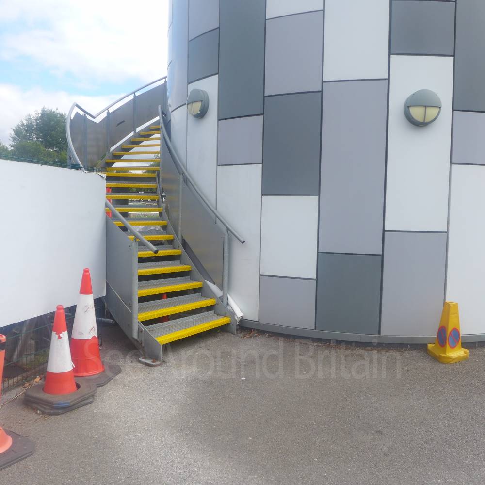
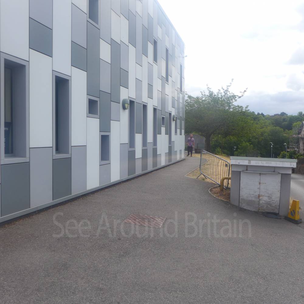
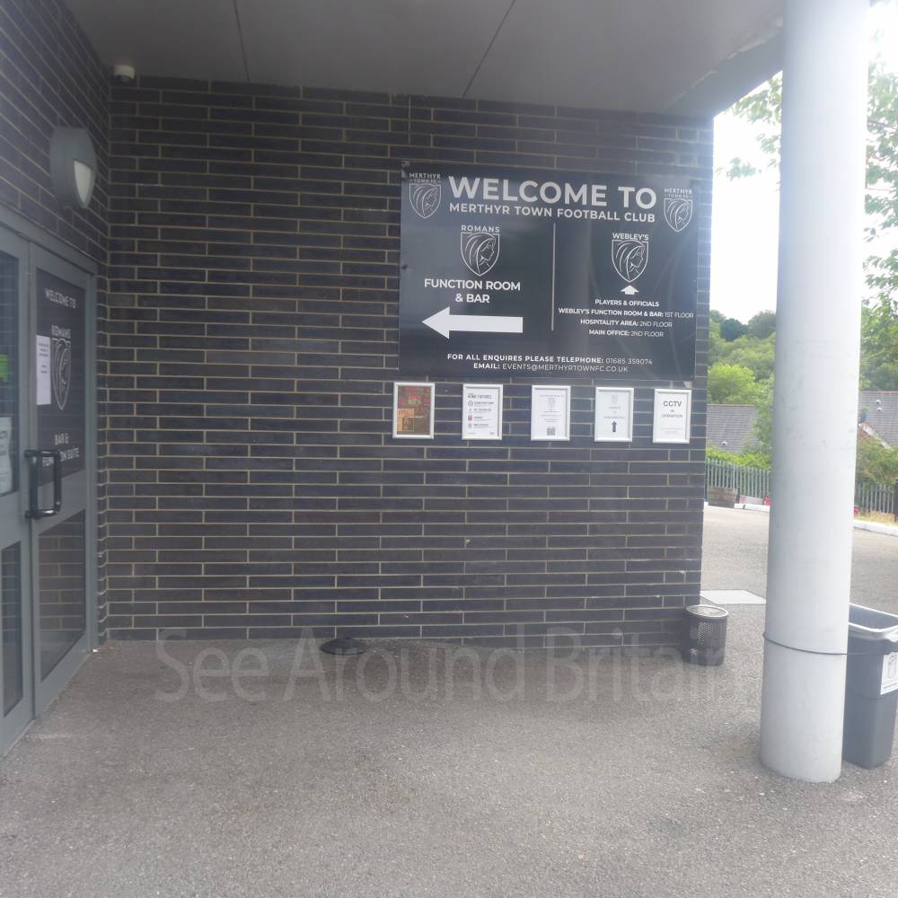
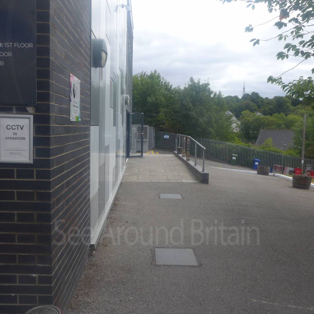
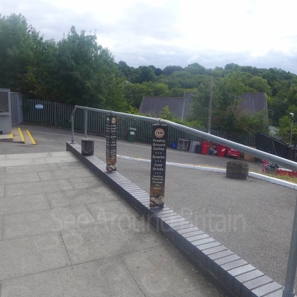
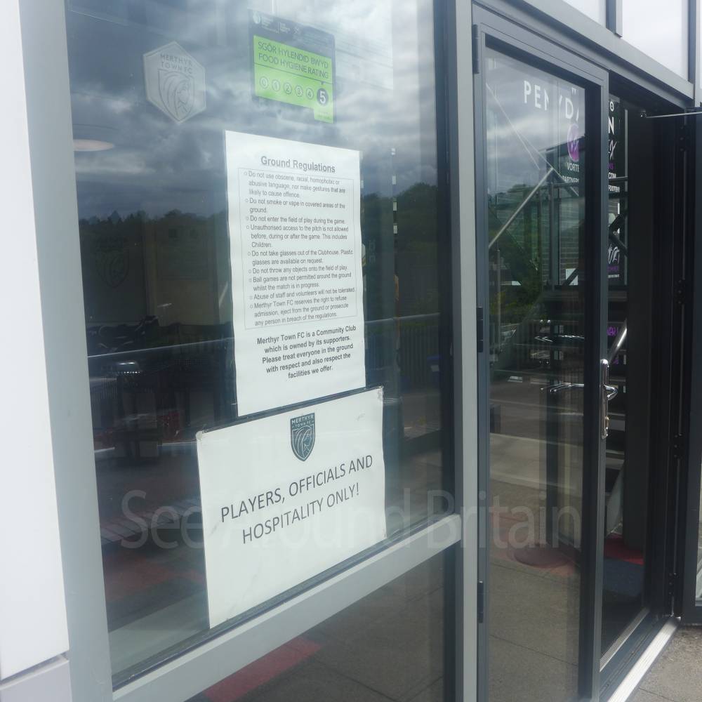
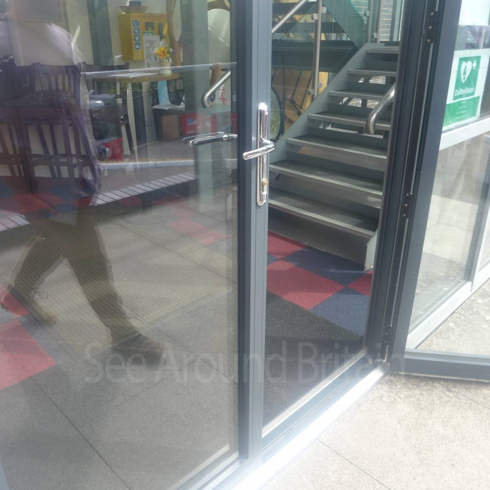
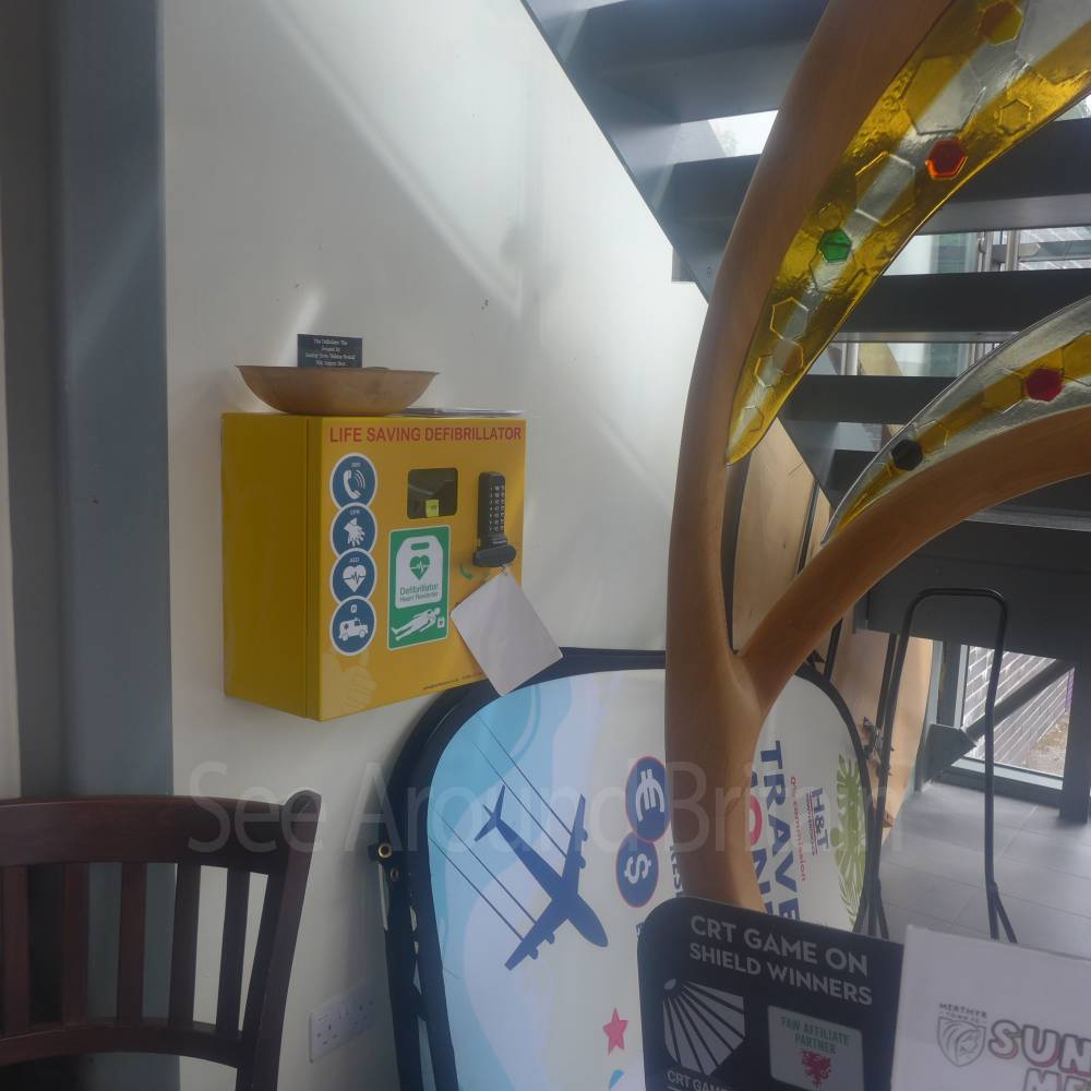
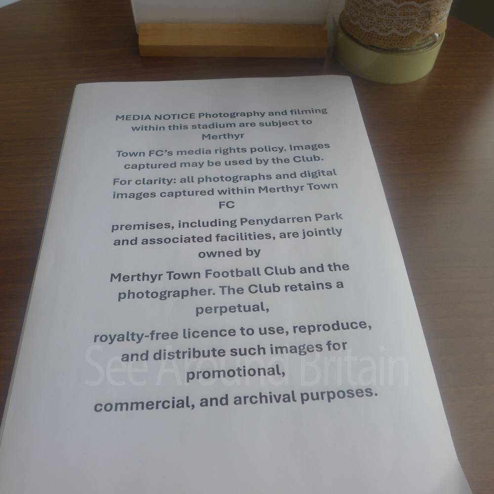
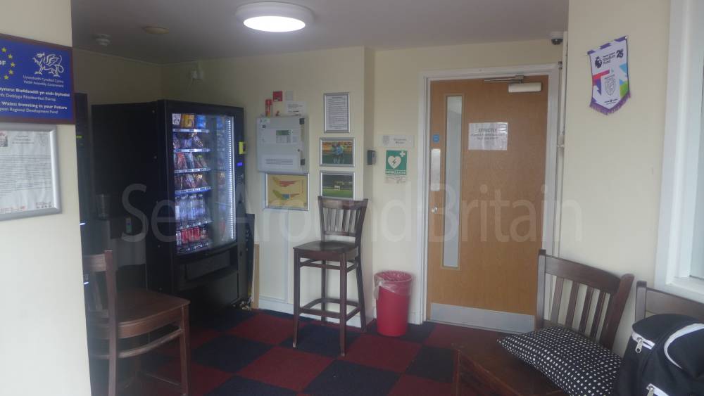
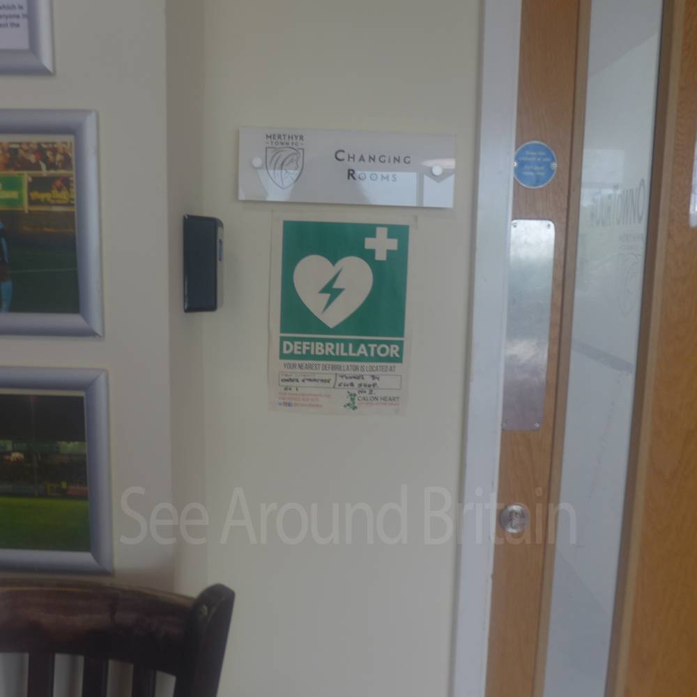
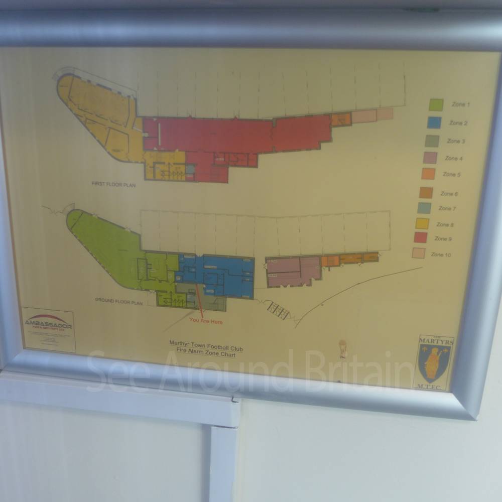
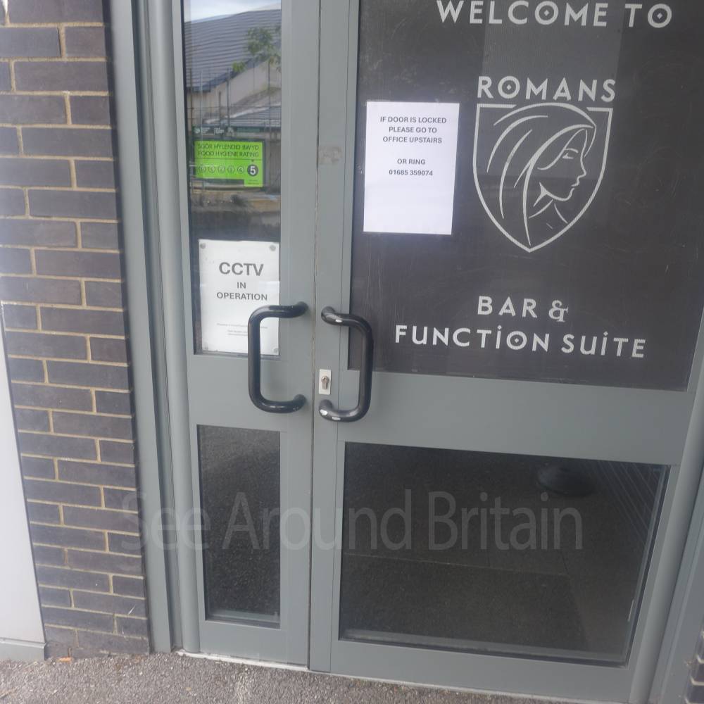
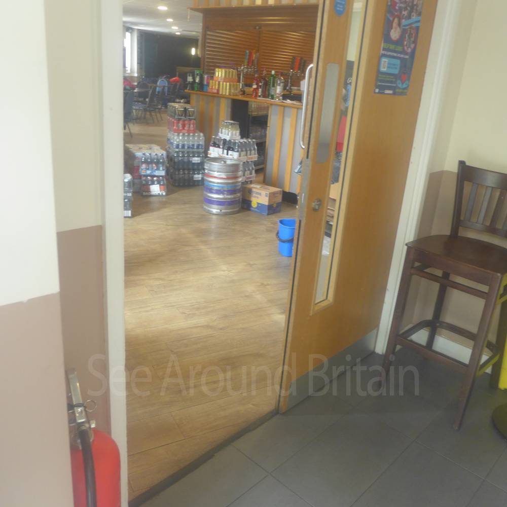
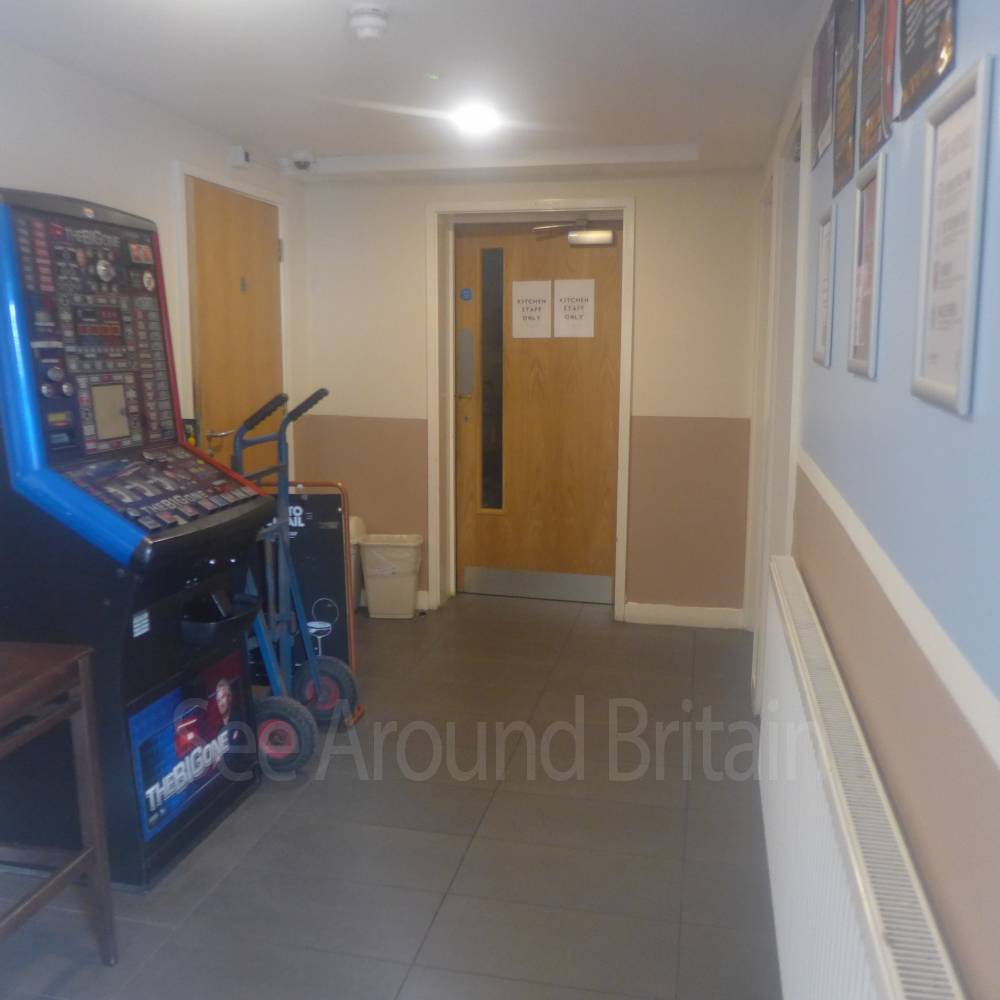
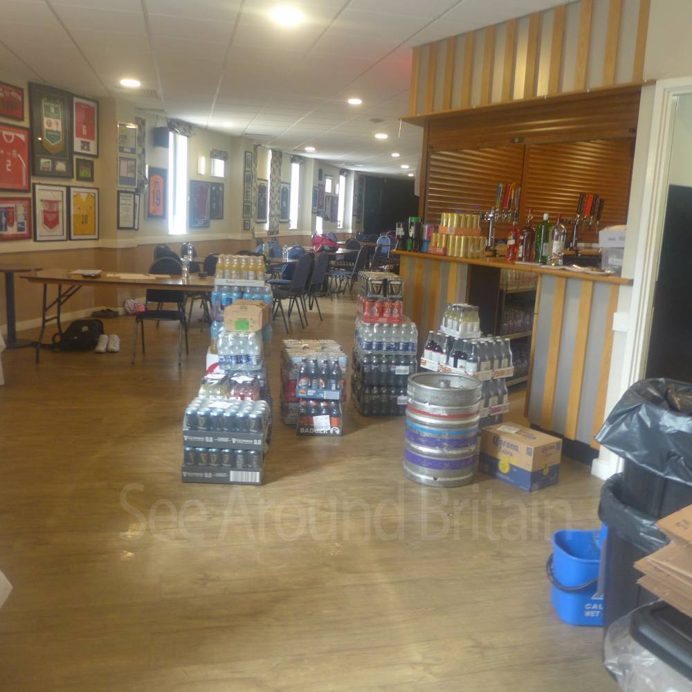
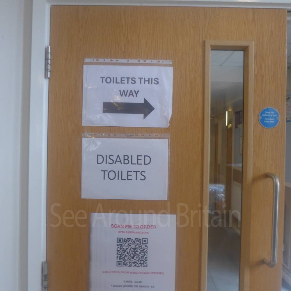
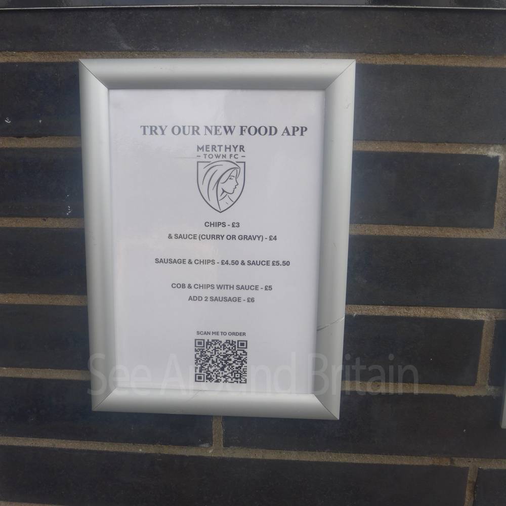
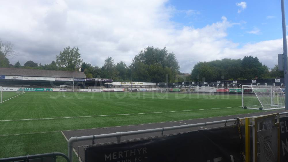
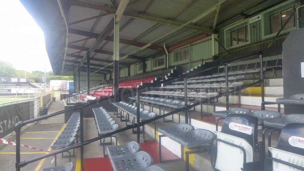
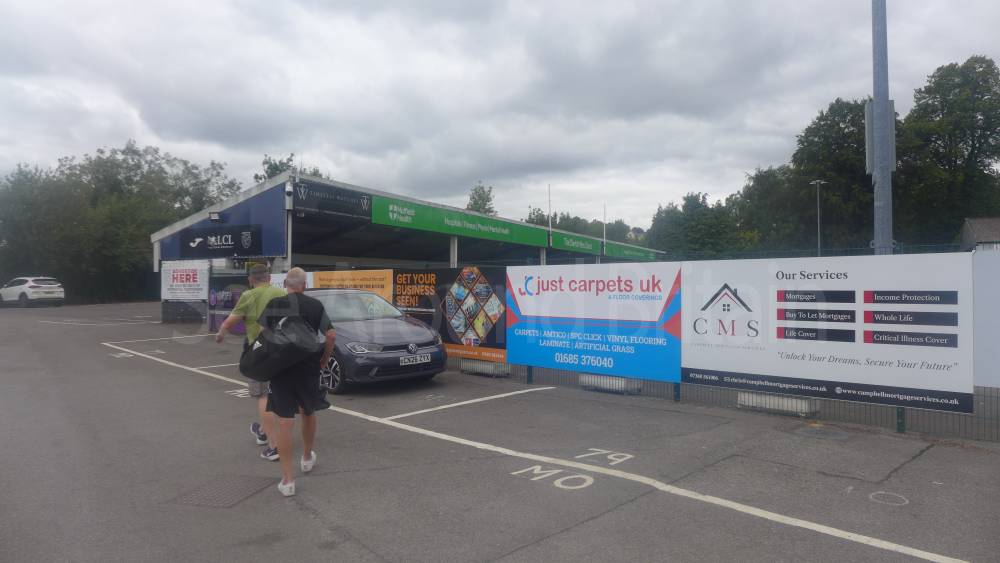
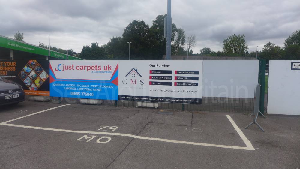
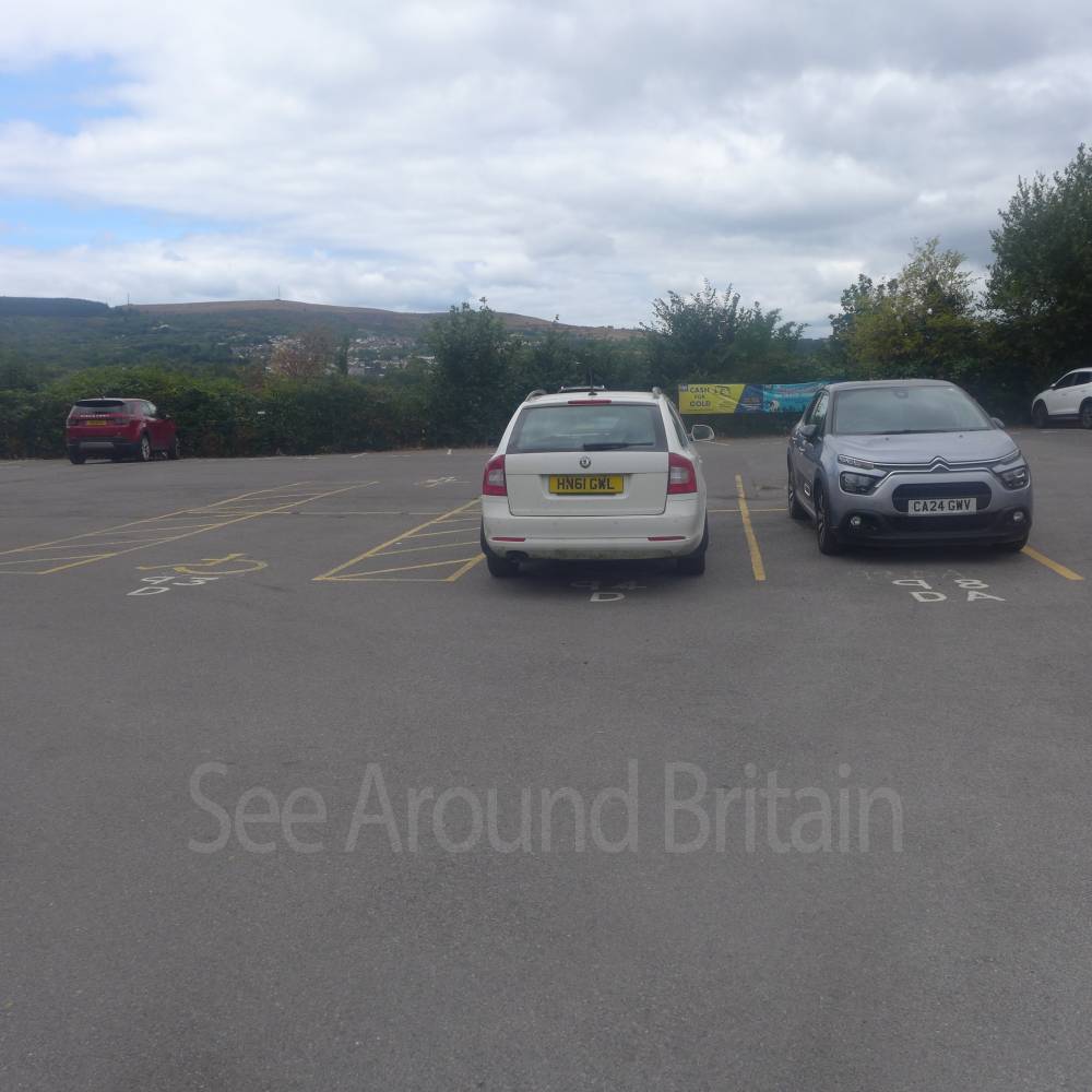
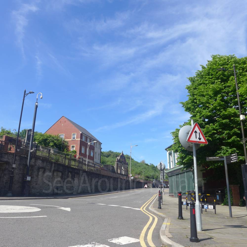
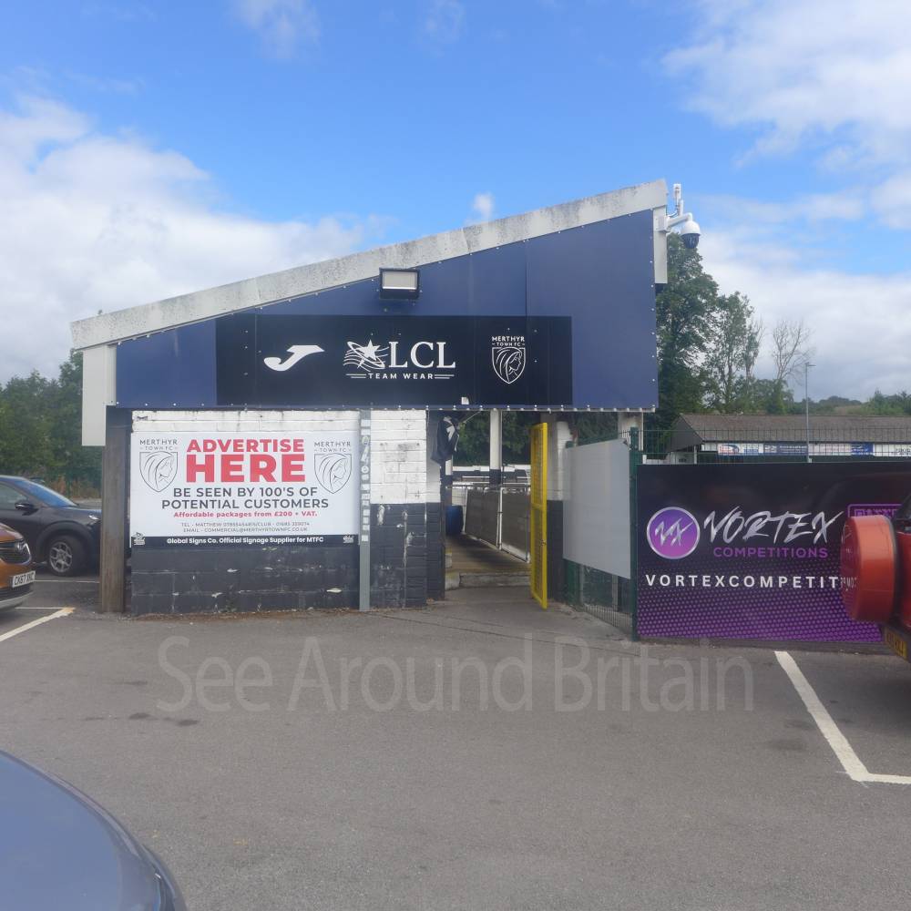
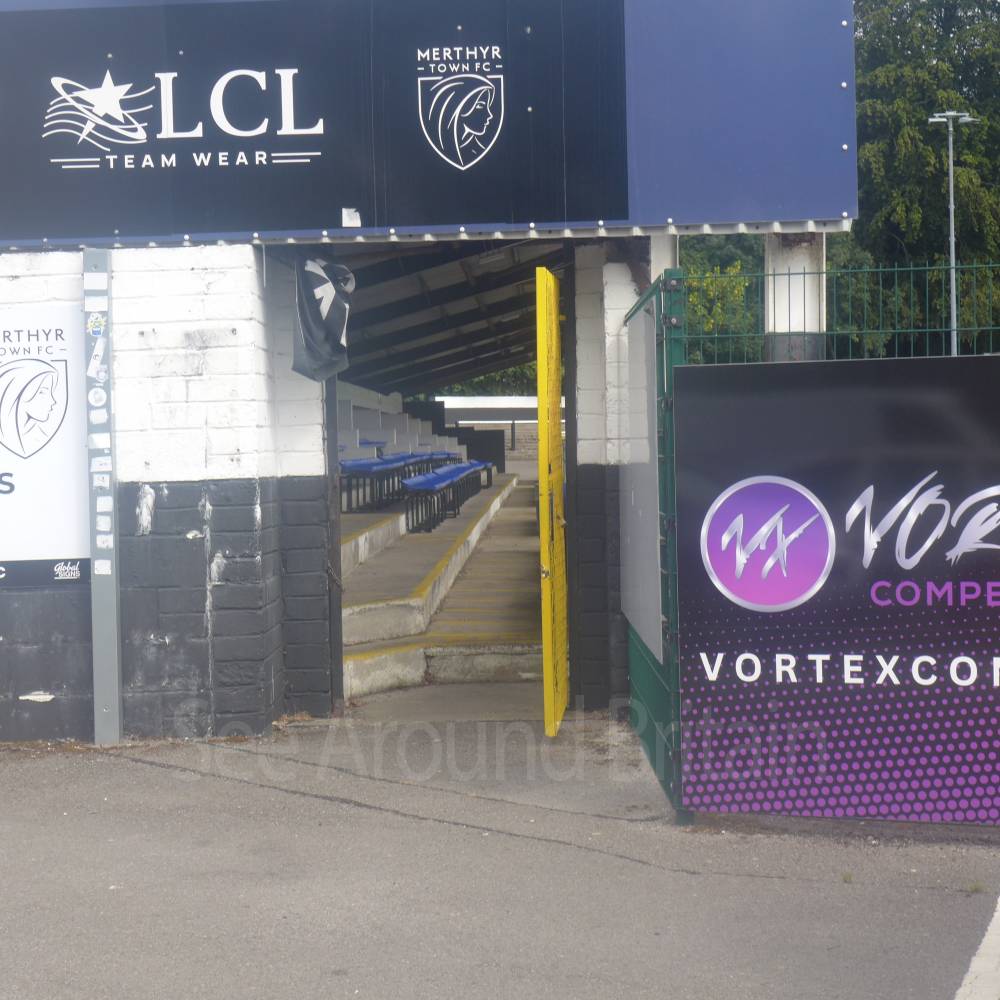
Merthyr Town Football Club, Penydarren Park, Merthyr Tydfil CF47 8RF
Location:

Nearest Venues:

Derelict former Miners Hall dated 1921 originally built as Shiloh Welsh Weslyan Chapel in 1853 on Penydarren Road, Pont Morlais, Merthyr Tydfil CF47 8AZ

65 metres*

Merthyr Tydfil Masonic Temple, 7 Park Terrace, Merthyr Tydfil

86 metres*

Pontmorlais Car Park, Merthyr Tydfil

134 metres*

King Kebab takeaway, 56 Pontmorlais W, Merthyr Tydfil

146 metres*

English Wesleyan Methodist Chapel, Pontmorlais West, Merthyr Tydfil

212 metres*

Saint Mary's Roman Catholic Church (with external Defibrillator), The Priory, Merthyr Tydfil CF47 8RG

218 metres*


*Distances are calculated in a straight line from the current venue, please allow extra time/distance based on available paths or roads.

Our charity urgently needs online volunteers: please go to About/Help Us

Disclaimer: All efforts are made to ensure that any information is correct, but always check with the venue owner in case any details have changed before planning a visit.
All images © Copyright See Around Britain & See Around Europe, all rights reserved. Privacy Policy