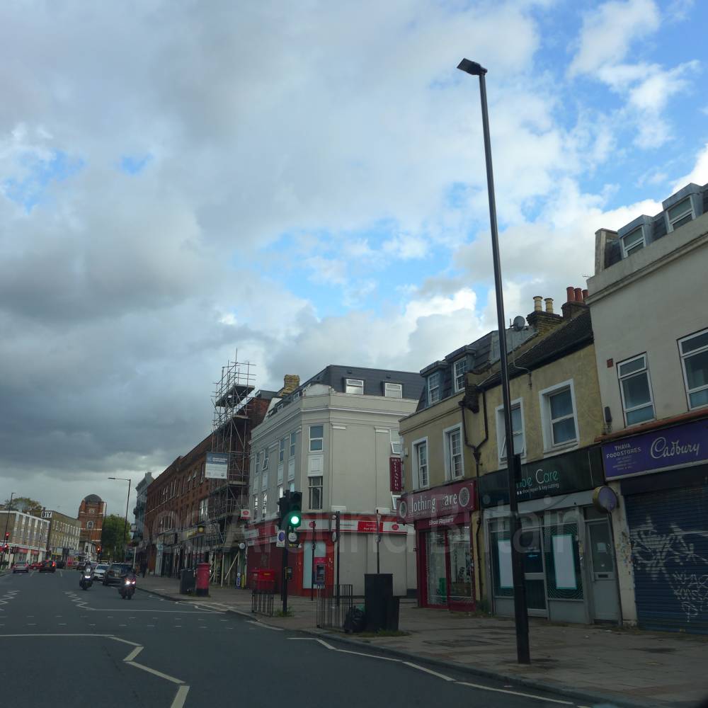
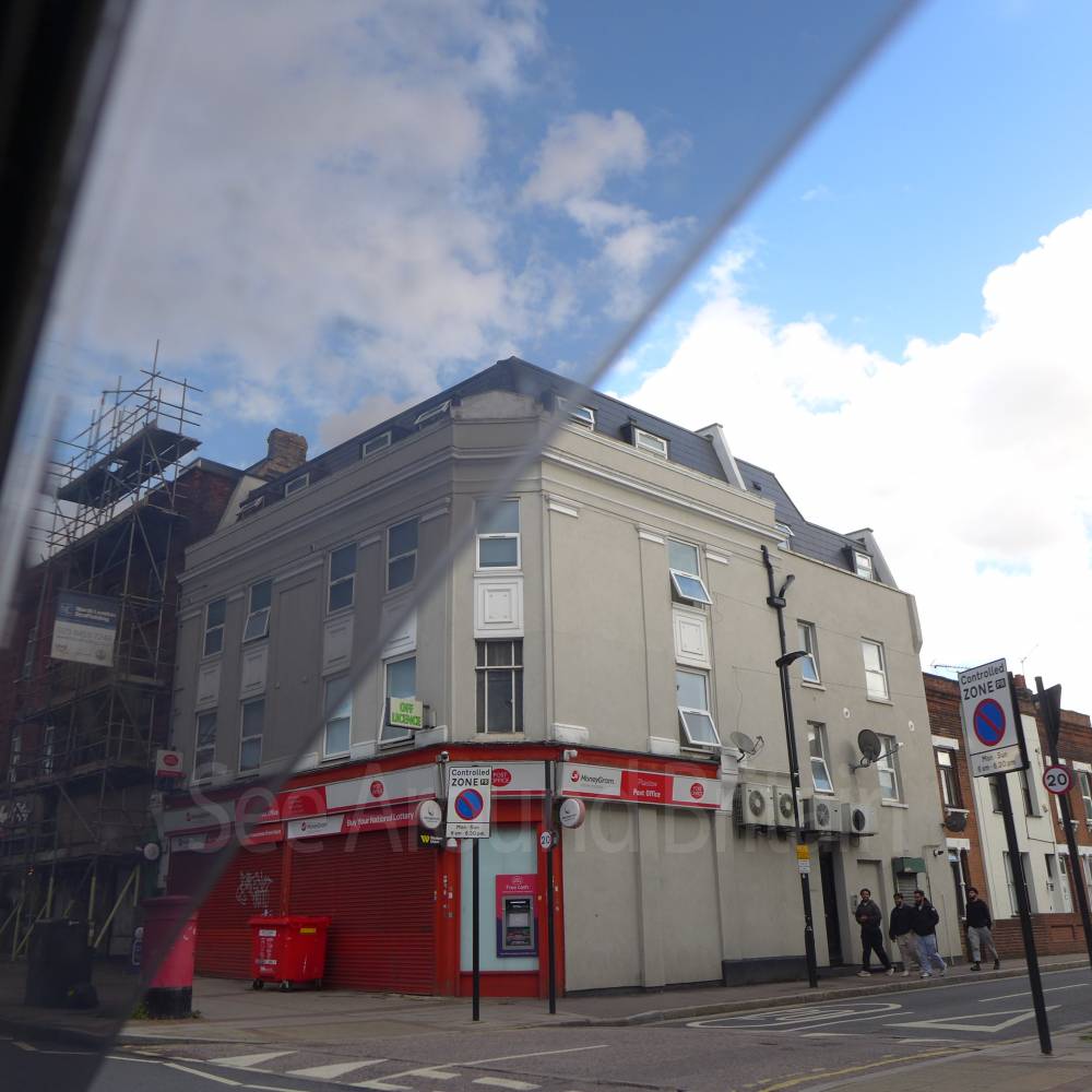
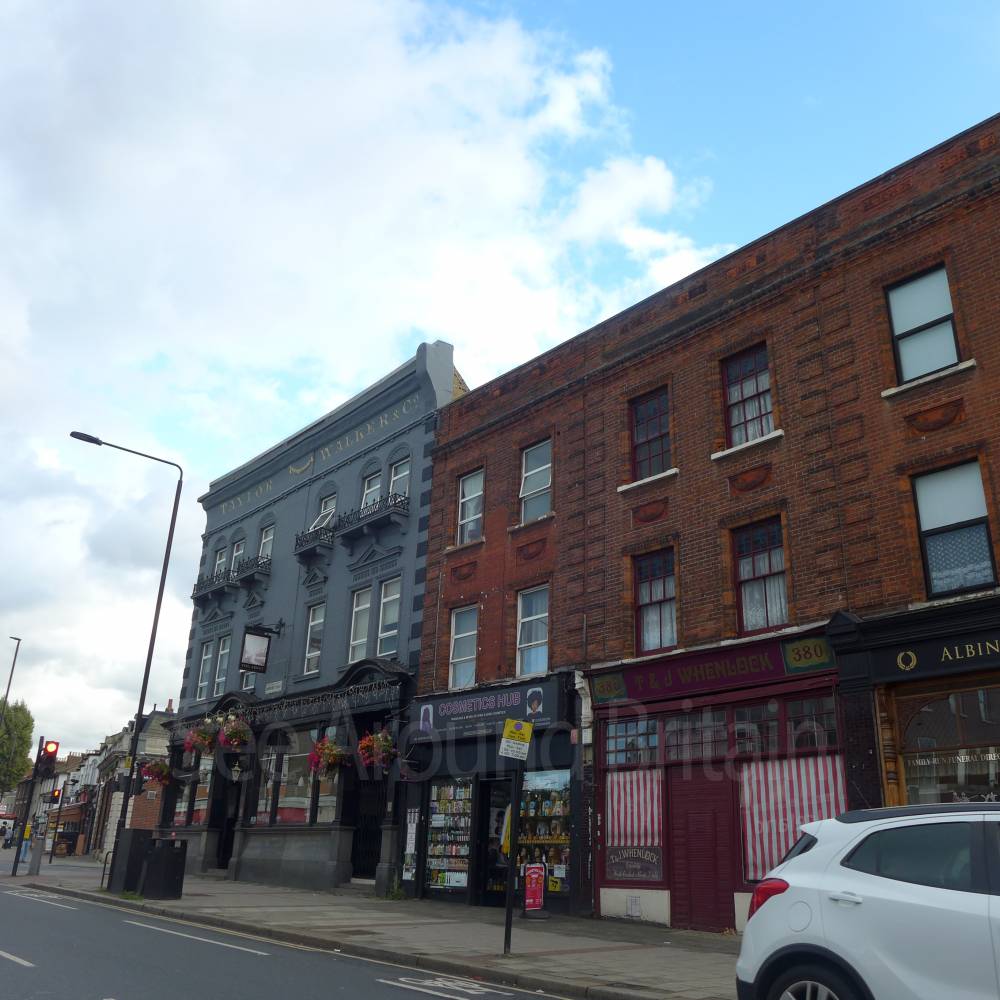
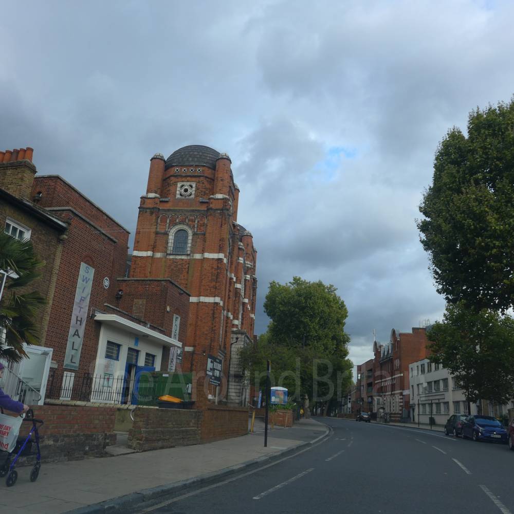
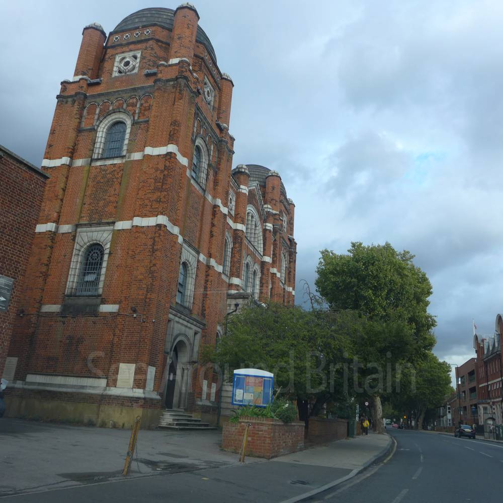
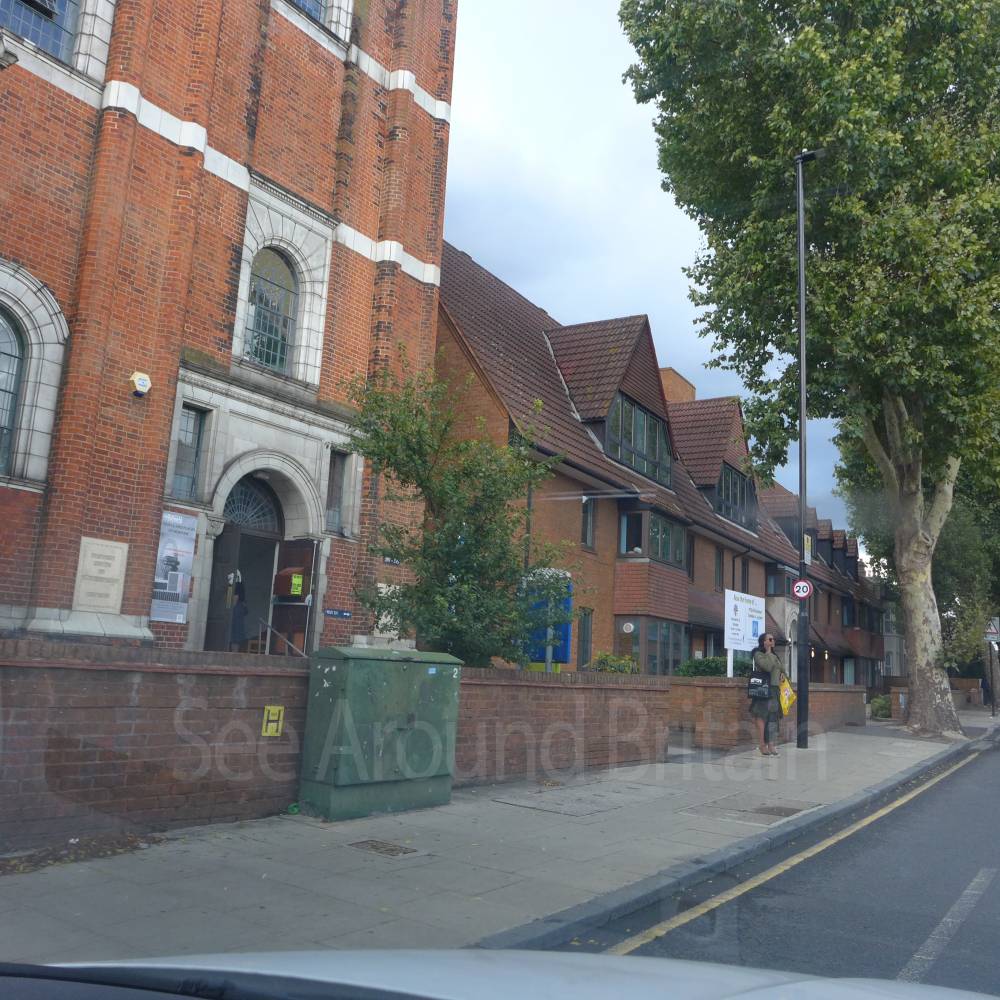
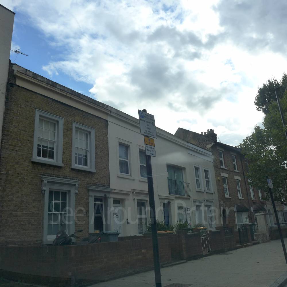
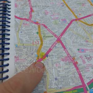
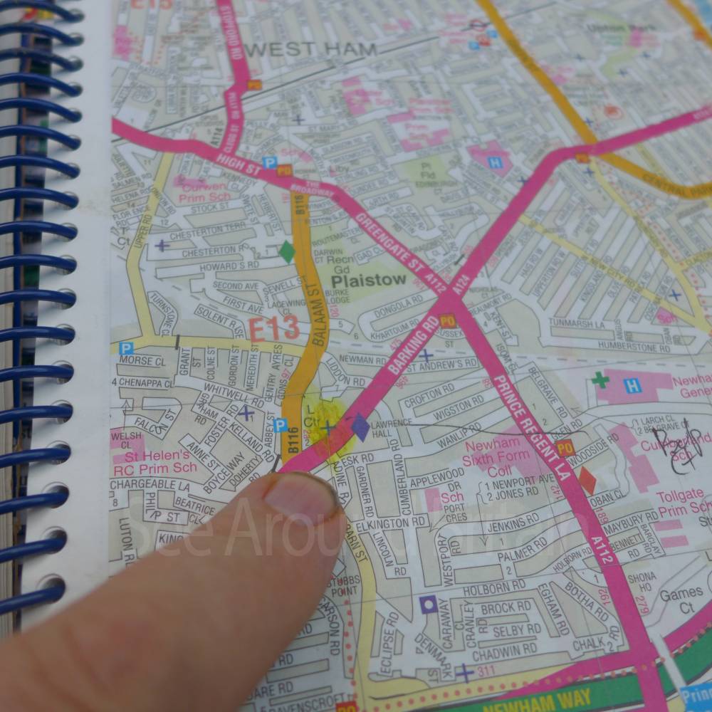
See Around Britain & Europe Logo
  • Map
  • Language
  • Accessibility
  • About/Help Us
  • How To Use
  • Search
  • Key Facts
  • Basic Travel Needs
  • Help Me (Mayday)
  • Log in

Accessibility options

Font Size

Increase Decrease Reset

Colour Variations

White on Black Yellow Background Reset

Enlarging Images

When viewing a Venue, all of the thumbnails can be enlarged by clicking on them. On mobile devices you can also zoom in further using touch gestures (pinch with two fingers to zoom in and out).

Map Options

Icon Description
Example zoom buttons for map There are options to zoom in and out at the top right of the map (alternatively you can use the mouse scroll wheel or touchscreen gestures)
Example of the layers button for map At the top right of the map there is a layers button which allows you to choose different map styles
❰ Back

Plaistow, London


"Taken in 2025"
"Taken in 2025"
"Taken in 2025"
"Taken in 2025"
"Taken in 2025"
"Taken in 2025"
"Taken in 2025"
"Taken in 2025"
"Taken in 2025"
"Taken in 2025"
"Taken in 2025"
"Taken in 2025"
"Taken in 2025"
"Taken in 2025"
"Taken in 2025"
"Taken in 2025"
"Taken in 2025"
"Taken in 2025"

Location:

Nearest Venues:

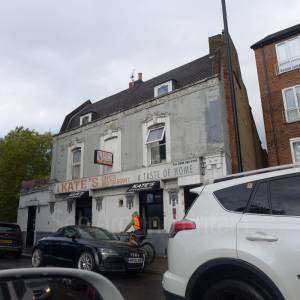
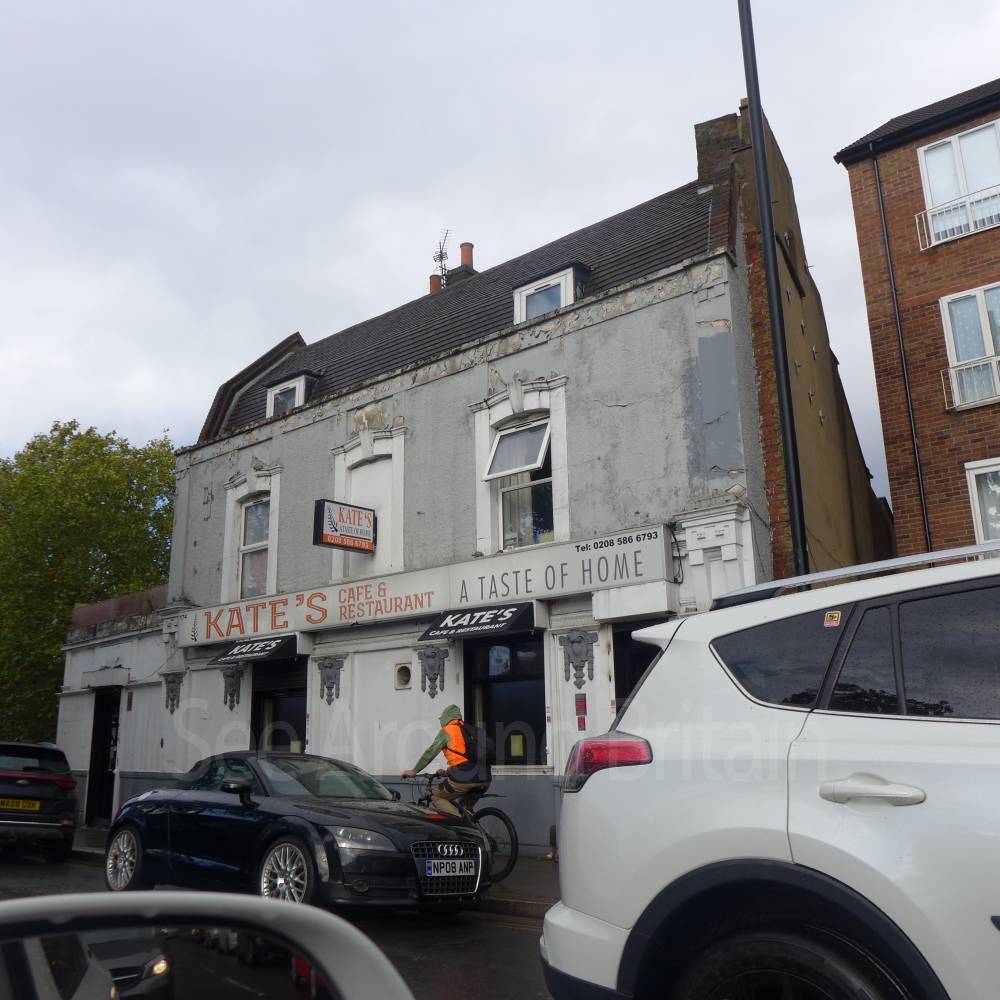
Kate’s Cafe and Restaurant, Plaistow, London

469 metres*

Plaistow Police Station, Barking Road, London

579 metres*

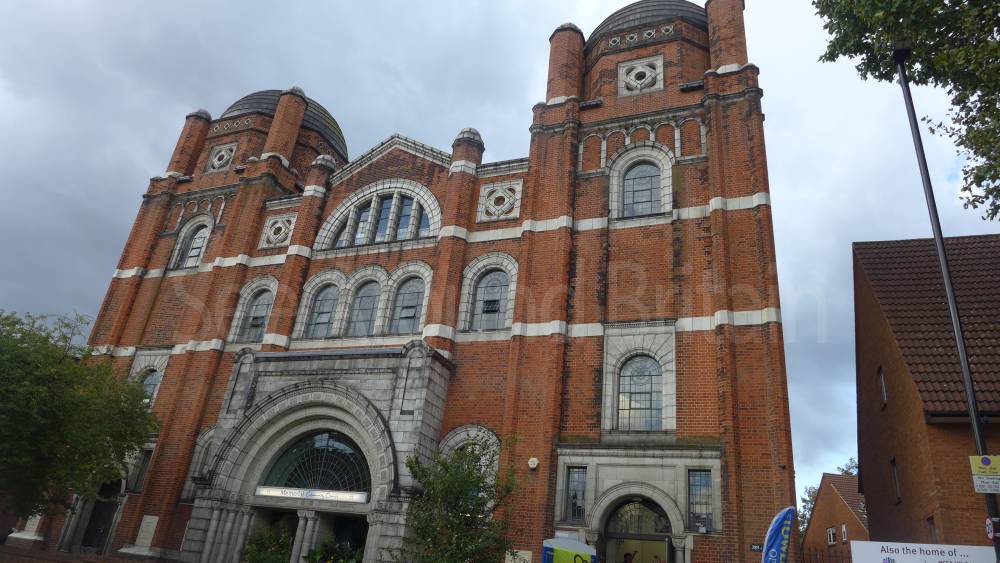
Memorial Community Church, Barking Road, London

632 metres*

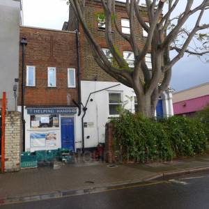
Helping Hands, Plaistow, London

658 metres*

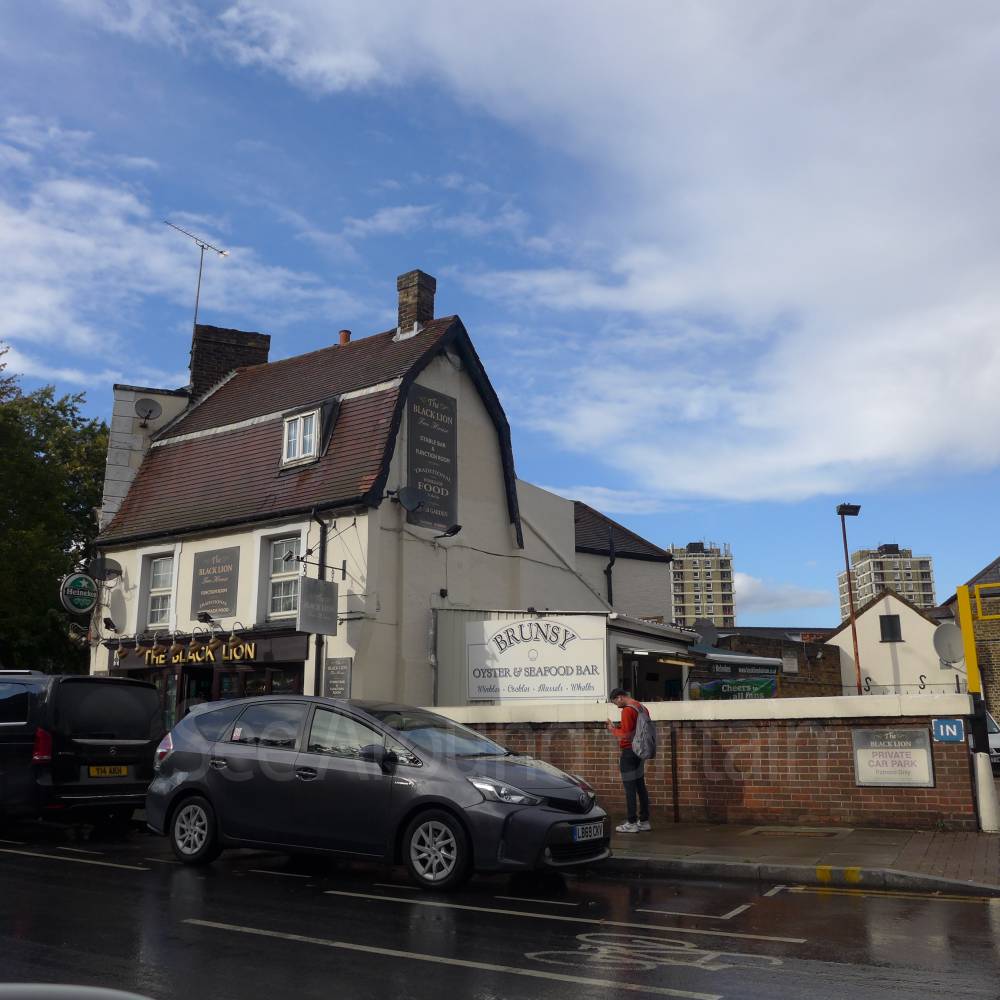
Brunsy Oyster and Seafood Bar, Plaistow, London

665 metres*

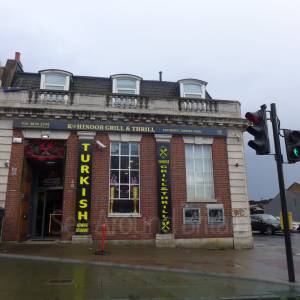
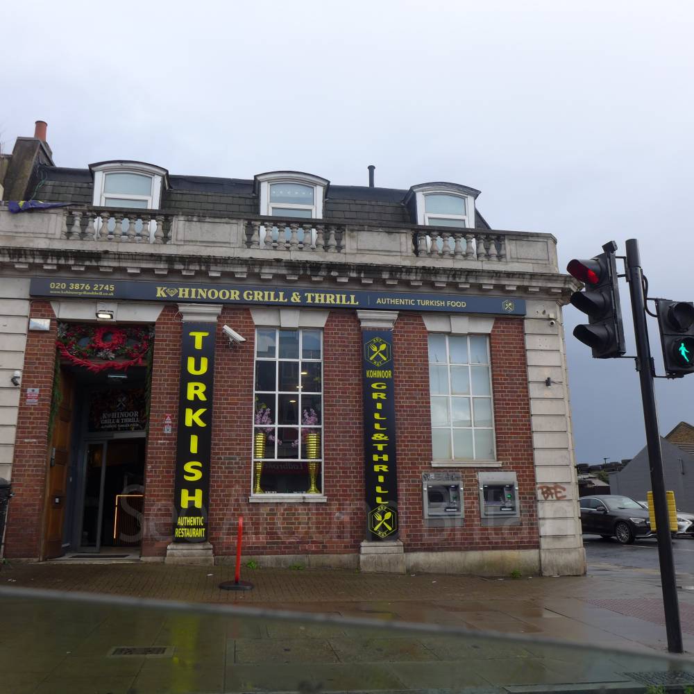
Kohinoor Grill and Thrill, Plaistow, London

743 metres*


*Distances are calculated in a straight line from the current venue, please allow extra time/distance based on available paths or roads.

Our charity urgently needs online volunteers: please go to About/Help Us

Disclaimer: All efforts are made to ensure that any information is correct, but always check with the venue owner in case any details have changed before planning a visit.
All images © Copyright See Around Britain & See Around Europe, all rights reserved. Privacy Policy