


Location:
Nearest Venues:


946 metres*
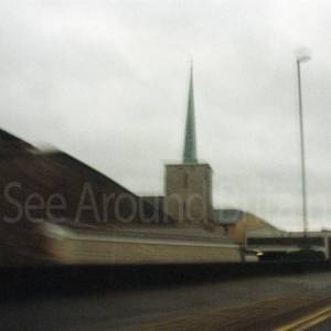
St Peter's Church, Filton, Gloucestershire
1,473 metres*


Bristol Parkway Station. Open daily. Free entry.
1.63 miles*
*Distances are calculated in a straight line from the current venue, please allow extra time/distance based on available paths or roads.