

Porthcawl, near Bridgend, CF36 3UW. Open daily. Free entry.


Details
Accessibility:
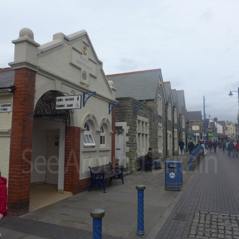
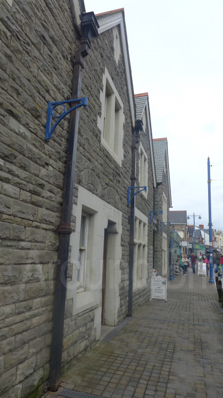
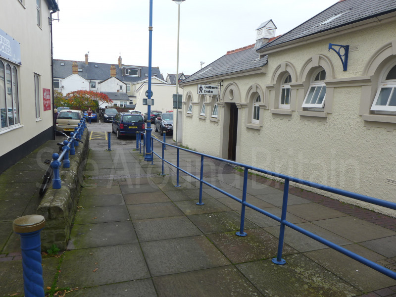
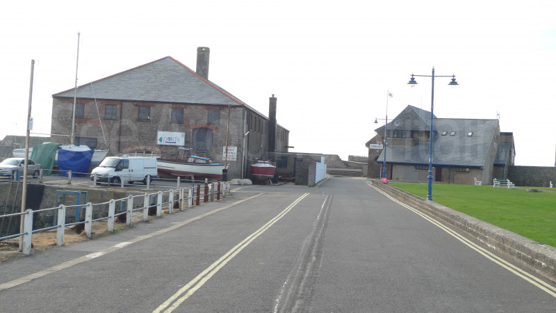
There is plenty of parking in Porthcawl, including disability spaces. There are public toilets, with disability toilets accessible with a RADAR key. The majority of Porthcawl is wheelchair friendly. Guide dogs are welcome.
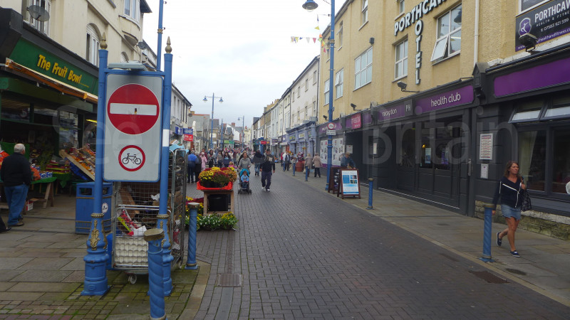
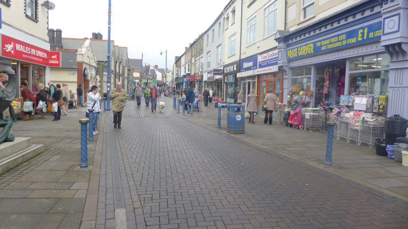
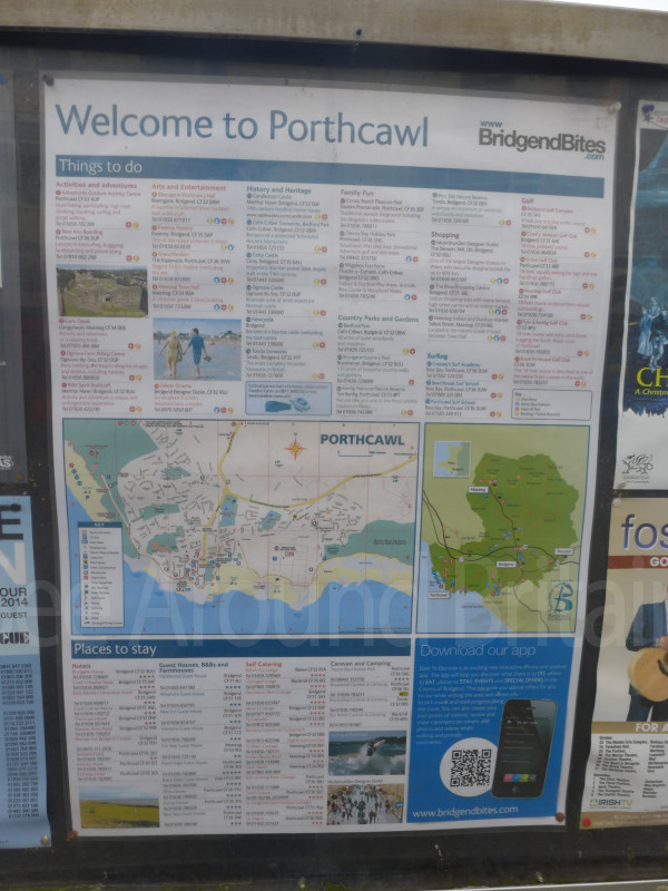
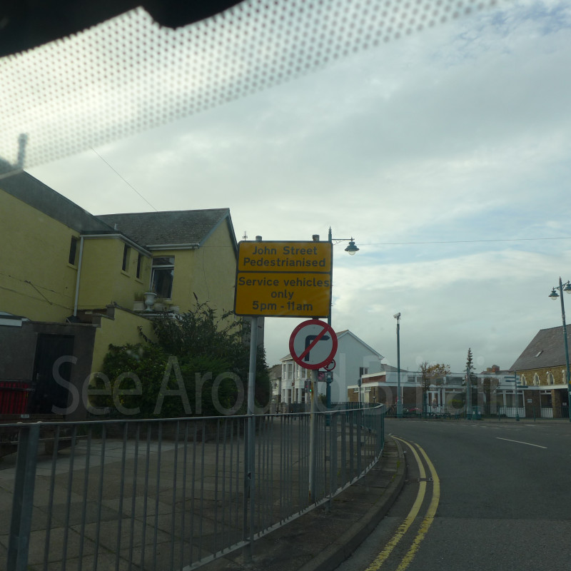
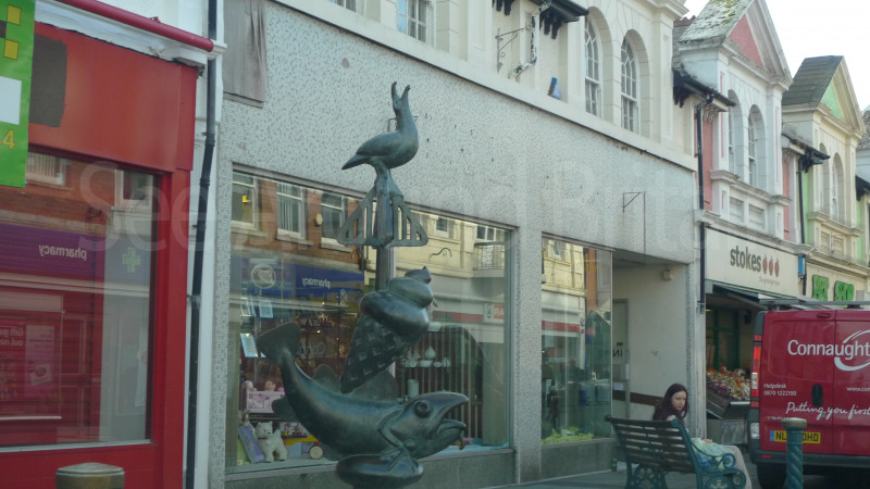
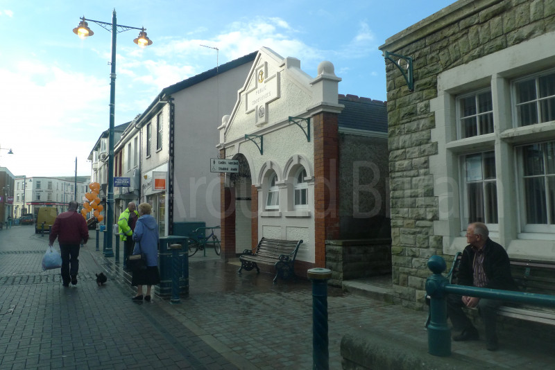
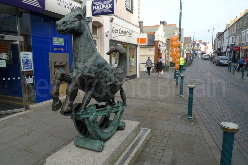
Brief Description:Situated between Cardiff and Swansea, and just a few miles from the M4 motorway, Porthcawl is ideally located for visitors to gain easy access to all main towns, cities and coastal areas of South Wales, with all the attractions that they have on offer.
https://en.wikipedia.org/wiki/Porthcawl
"Porthcawl (English: /pɔːrθˈkɔːl/, Welsh: [pɔrθˈkaul]) is a town and community on the south coast of Wales in the county borough of Bridgend, 25 miles (40 km) west of the capital city, Cardiff and 19 miles (31 km) southeast of Swansea. Historically part of Glamorgan and situated on a low limestone headland on the South Wales coast, overlooking the Bristol Channel, Porthcawl developed as a coal port during the 19th century, but its trade was soon taken over by more rapidly developing ports such as Barry. Northwest of the town, in the dunes known as Kenfig Burrows, are hidden the last remnants of the town and Kenfig Castle, which were overwhelmed by sand about 1400.
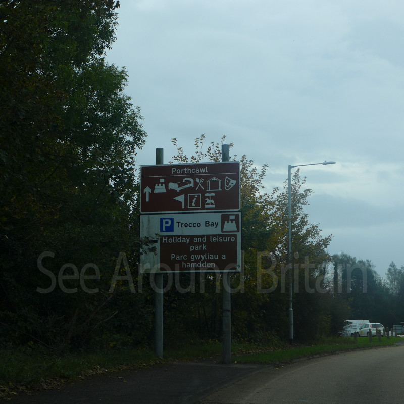
Porth is a common Welsh element meaning "harbour" and the cawl here refers to "sea kale", which must have grown in profusion or even been collected here.[2][3] Local folk etymology holds the cawl to be a corruption of Gaul, and that the area was an ancient landing point for Gaulish and Breton, or later Frankish and Norman knights.[4] Porthcawl is a holiday resort in South Wales and is home to a large static caravan park known as Trecco Bay, which is owned and operated by Parkdean Resorts. It has an extensive promenade and several beaches, two of which[which?] are Blue Flag beaches: a tourist-oriented beach at Trecco Bay, at the east end of the town; a sandy beach at Rest Bay, which lies to the northwest of the town; and the quiet and sandy Pink Bay leading out towards Sker Point where a tarmac-covered car park serves a sandy beach.
There are many hotels (including the prominent Seabank Hotel) and guest houses as well as a funfair called Coney Beach. Four rocky points line the shore: Hutchwns Point [sic], Porthcawl Point (on which a lighthouse stands), Rhych Point and Newton Point.
Porthcawl, like many British resorts, has suffered a decline in its holiday trade over recent years, especially since most of the South Wales Valleys coal pits closed. A major feature of the summer was the miners' fortnight, when large numbers of miners took their annual break.
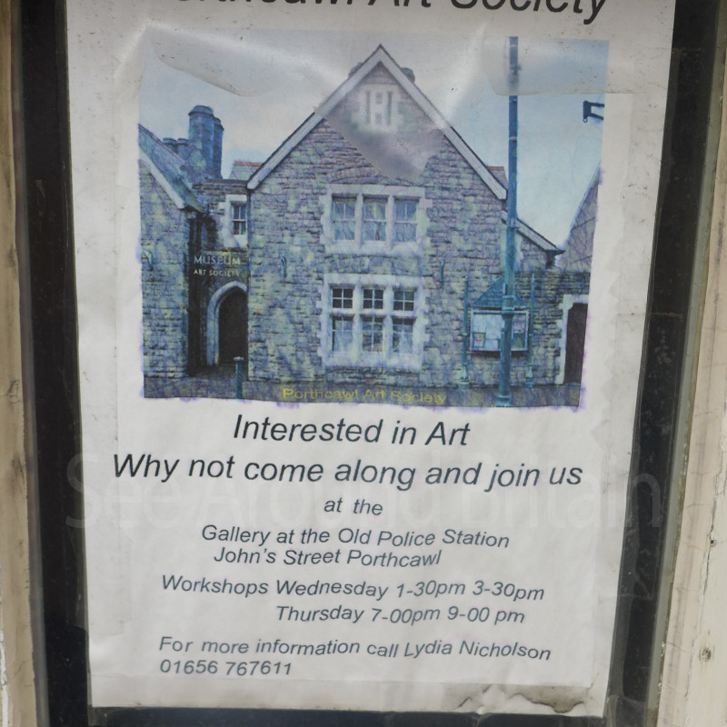
Tourist attractions in the area include sandy beaches, a grand pavilion, a funfair named Coney Beach (modelled on Coney Island in New York), a museum and three golf courses.And the site of the former black obelisk." https://www.bbc.co.uk/news/articles/cz91klp5y1go
Address:
Porthcawl, Bridgend, CF36 3UW.
Email:
enquiries@welcometoporthcawl.co.uk
Phone:
01656 815338.
Website:
http://www.welcometoporthcawl.co.uk/
https://www.visitbridgend.co.uk/market-town/porthcawl
https://web.archive.org/web/20060716162356/http://www.bridgend.gov.uk/Web1/groups/tourism/documents/marketing/001782.hcsp
https://www.bbc.co.uk/news/articles/cvg9ndr8p70o
https://www.bbc.co.uk/news/articles/crm48vyx9p2o
https://www.bbc.co.uk/news/articles/clyvvpl1551o
https://www.bbc.co.uk/news/articles/cz91klp5y1go
https://www.bbc.co.uk/news/articles/cn8evzjk78zo
https://www.bbc.co.uk/news/articles/c362w8g4e7go
Opening hours:
Open daily.
Directions:
Porthcawl is approx. 8 and a half miles South from Bridgend via the A48 and A4106. "Road - the A4229 road links the town to junction 37 of the M4 motorway"
OS SS 802783.
Transport:
There is a regular bus service around Bridgend.
"Bus - First Cymru's X2 service runs every half an hour to Cardiff Central via Bridgend, Cowbridge and West Cardiff.[33]
- Rail - the nearest station is Pyle, although Bridgend railway station is the nearest mainline station. Porthcawl's own railway station at the top of Station Hill closed in 1962."
For further travel information in Wales please see: www.traveline.cymru/travel-info
Or call Traveline Cymru on 0800 464 0000
Amenities:
There is a wide variety of places to eat, drink and stay in Porthcawl. For more info please go to-
http://www.welcometoporthcawl.co.uk/directory.php?Action=Directorycategory&Directory_Category_FK=3
"Porthcawl has seven beaches.
Newton Beach on the eastern edge of Porthcawl is a long sandy and rocky beach, backed by the Newton Burrows and Merthyr Mawr sand dunes, a designated Site of Special Scientific Interest, and ending at the mouth of the River Ogmore at Ogmore-by-Sea.
Trecco Bay is a large, sandy and rocky Blue Flag beach. Trecco Bay holiday park is situated alongside the beach.
Sandy Bay, with the area in front of the fairground known as Coney Beach, is a large sheltered and sandy beach.
Seafront Beach, also known as Town Beach, is a rocky beach in the centre of Porthcawl which was partly tarmaced over in the 1980s to repair sea defences.
Rest Bay is a sandy Blue Flag beach situated in the west of Porthcawl.
Pink Bay has a steep pebble bank down onto a flat beach edged by a rocky shoreline. These rocks have a unique pink marbling effect – hence the name Pink Bay.
Sker Beach is the most westerly beach in Porthcawl and is accessible only by walking from Rest Bay or Kenfig National Nature Reserve. A plaque, in memory of the 47 lives lost on the S.S. Samtampa, capsized and wrecked in heavy seas, and the Mumbles RNLI life boat which attempted rescue on 23 April 1947, is visible at low tide.
Five rocky points line the Porthcawl shore: From east to west these are Newton Point, Rhych Point, Porthcawl Point, Hutchwns Point and Sker Point."
Travel Information
For further travel information in Wales please see: www.traveline.cymru/travel-info
Or call Traveline Cymru on 0800 464 0000
Location
Nearest Venues


*Distances are calculated in a straight line from the current venue, please allow extra time/distance based on available paths or roads.