

River Bure, Norfolk
Details
Accessibility
Brief description
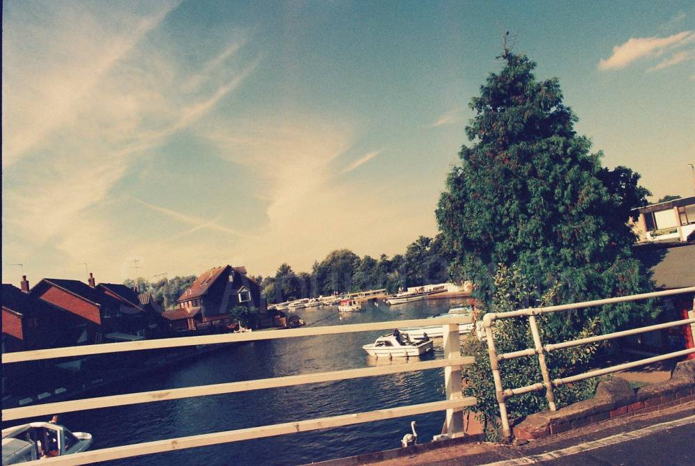
"The River Bure is a river in the county of Norfolk, England, most of it in the Broads.[1] The Bure rises near Melton Constable, 11 miles (18 km) upstream of Aylsham, which was the original head of navigation. Nowadays, the head of navigation is 10 miles (16 km) downstream at Coltishall Bridge. After Aylsham Lock and Burgh Bridge, the Bure passes through Buxton Lammas, Coltishall, Belaugh, Wroxham, Horning, past St. Benet's Abbey, through Oby, Acle, Stokesby, along the northern border of the Halvergate Marshes, through Runham and Great Yarmouth where it meets Breydon Water and flows into the sea at Gorleston.
It has two major tributaries, the River Thurne and the River Ant. There is also Muck Fleet which connects the Trinity Broads (Ormesby, Rollesby and Filby Broad) to the main network. Other minor tributaries include the River Hor, which joins the Bure just upstream of Hoveton, The Mermaid which merges at Burgh-next-Aylsham and Scarrow Beck which meets the main river close to the village of Ingworth."
https://en.wikipedia.org/wiki/River_Bure
Address
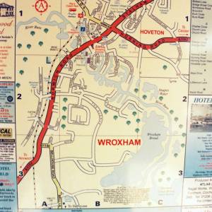
There is no single address for the entire River Bure from Wroxham Bridge, as it is a waterway. However, the bridge itself is located on Bridge Street, Wroxham, Norwich, Norfolk, NR12 8XX
Phone
Website
https://en.wikipedia.org/wiki/River_Bure
http://www.tournorfolk.co.uk/riverbure.html
Directions
Opening Times
Always check with the venue directly for up-to-date information including opening times and admission charges as they may be subject to change
Transport
Amenities
Travel Information
For further travel information please see: www.traveline.info
Or call Traveline on 0871 200 22 33
(Calls cost 12p per minute plus your phone company's access charge)
Location
Nearest Venues

Bure Valley Railway, Hoveton, Norfolk
349 metres*

422 metres*

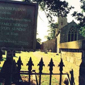
St John's Church, Hoveton, Norfolk
819 metres*
St Marys Church, Wroxham, Norfolk
953 metres*
1,105 metres*
*Distances are calculated in a straight line from the current venue, please allow extra time/distance based on available paths or roads.