

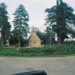
St Andrew's Church, Pixley, Herefordshire


Location:
Nearest Venues:


Aylton, near Ledbury, Herefordshire
1,292 metres*
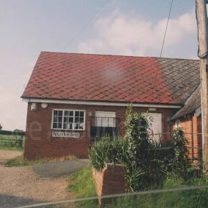
Putley Post office, Putley, Ledbury, Herefordshire
1,525 metres*
Putley church, Putley, Ledbury, Herefordshire
1.18 miles*


*Distances are calculated in a straight line from the current venue, please allow extra time/distance based on available paths or roads.