

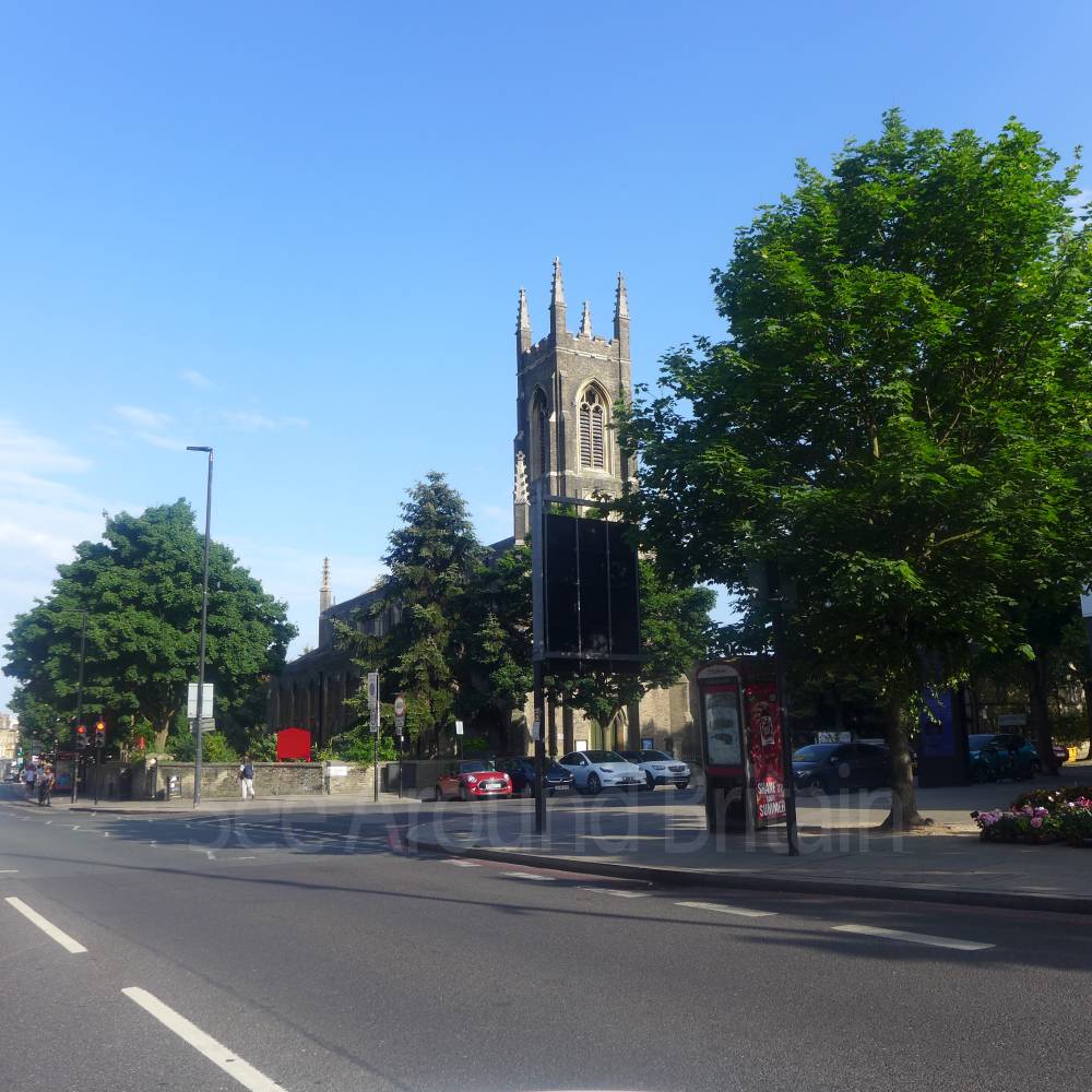
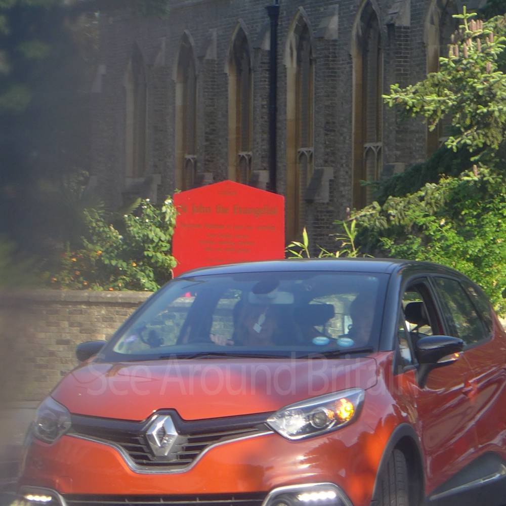
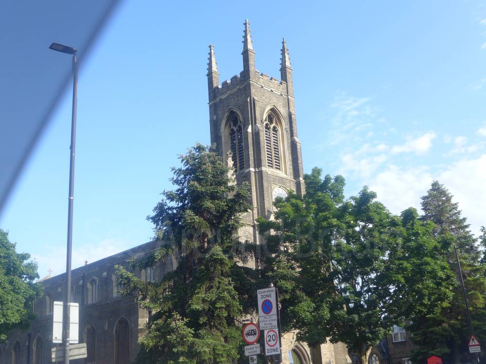
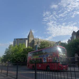
St John the Evangelist, Holloway, London


Location:
Nearest Venues:

Archway Methodist Church, Archway, London
350 metres*

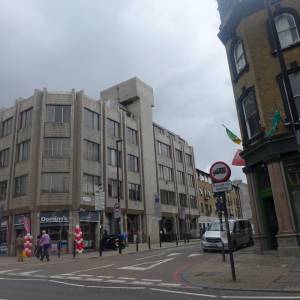
Dominos Pizza, Holloway Road, London
535 metres*
*Distances are calculated in a straight line from the current venue, please allow extra time/distance based on available paths or roads.