

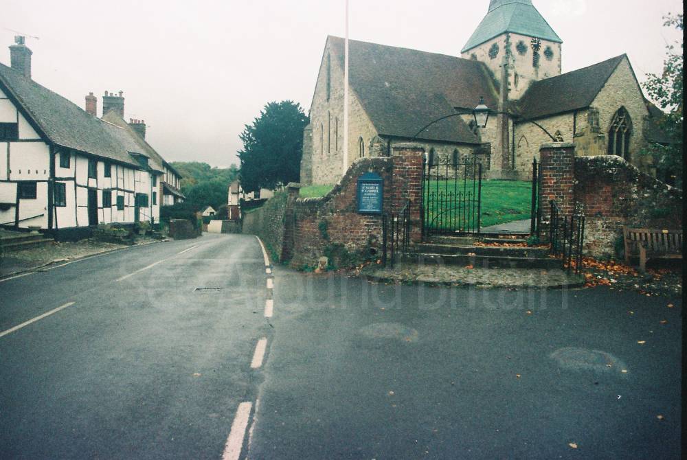
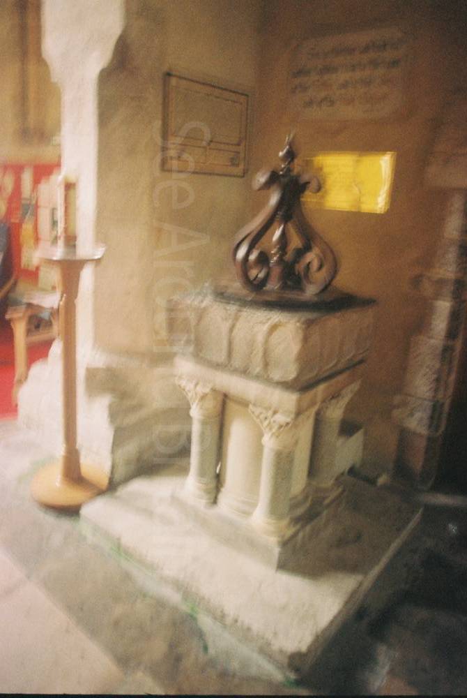
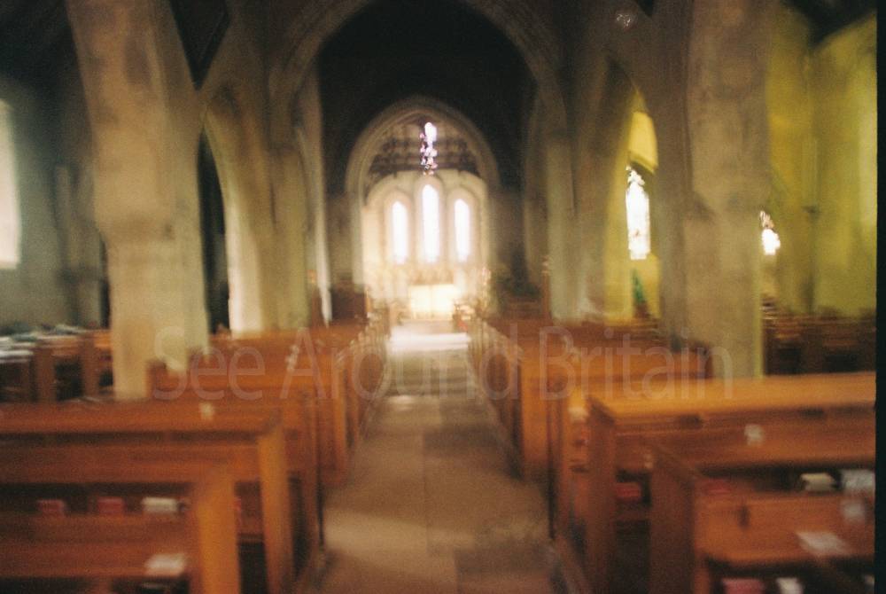
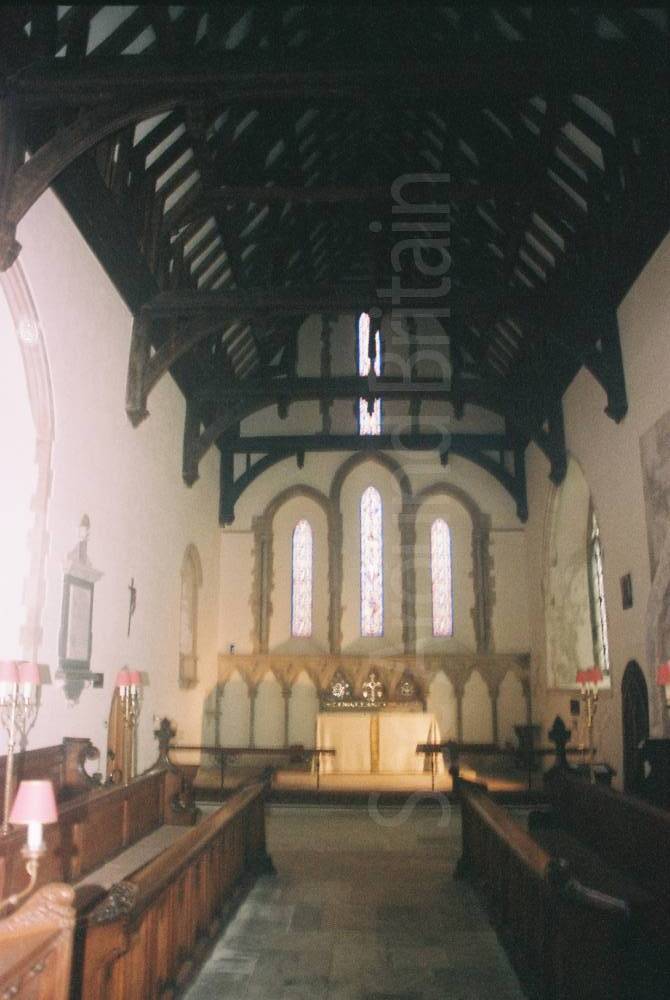
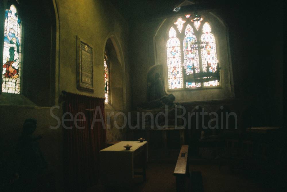
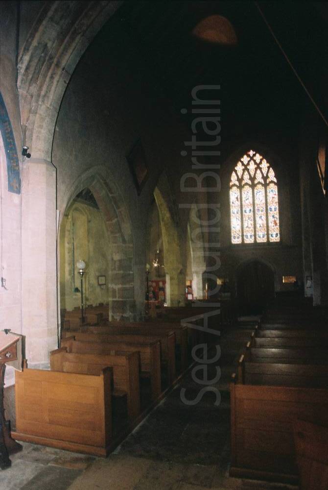
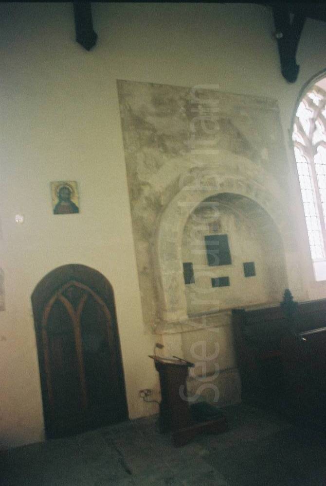
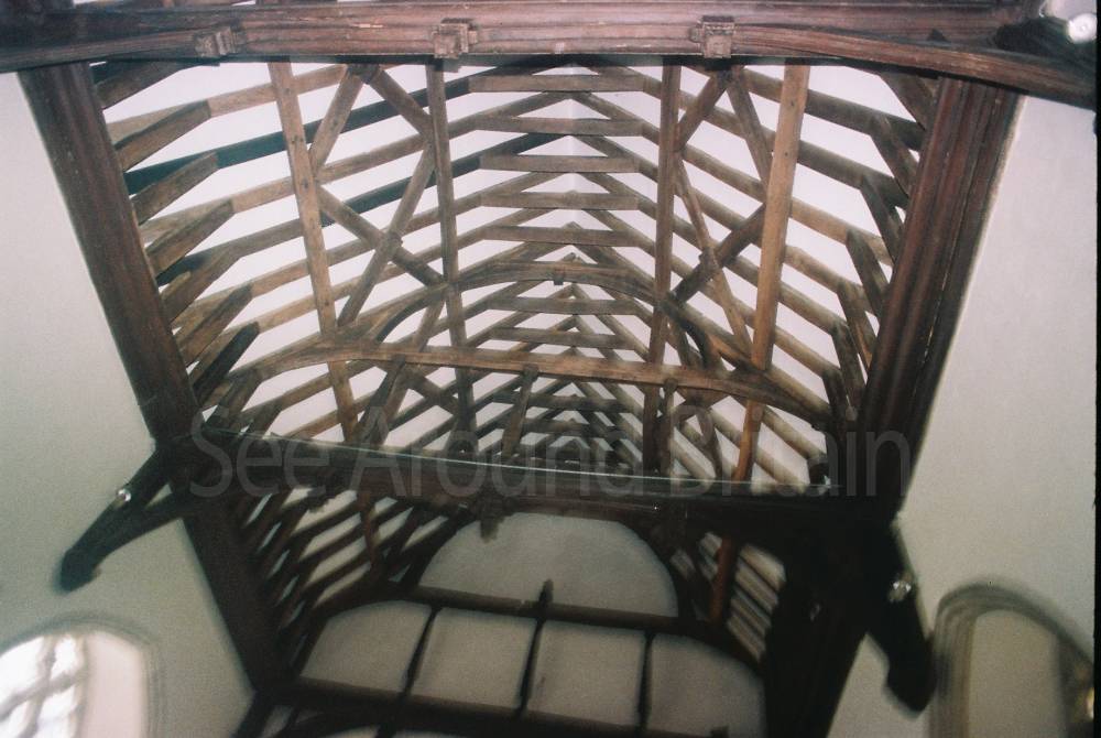
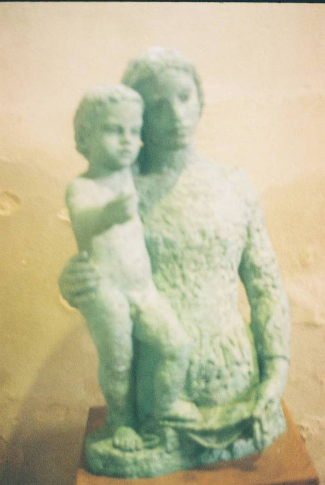
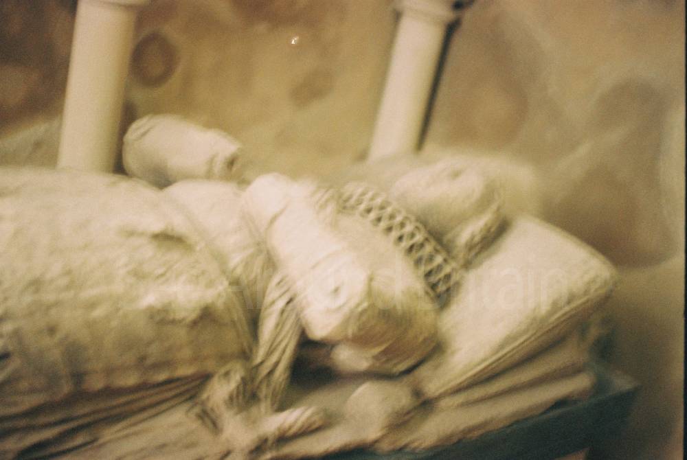
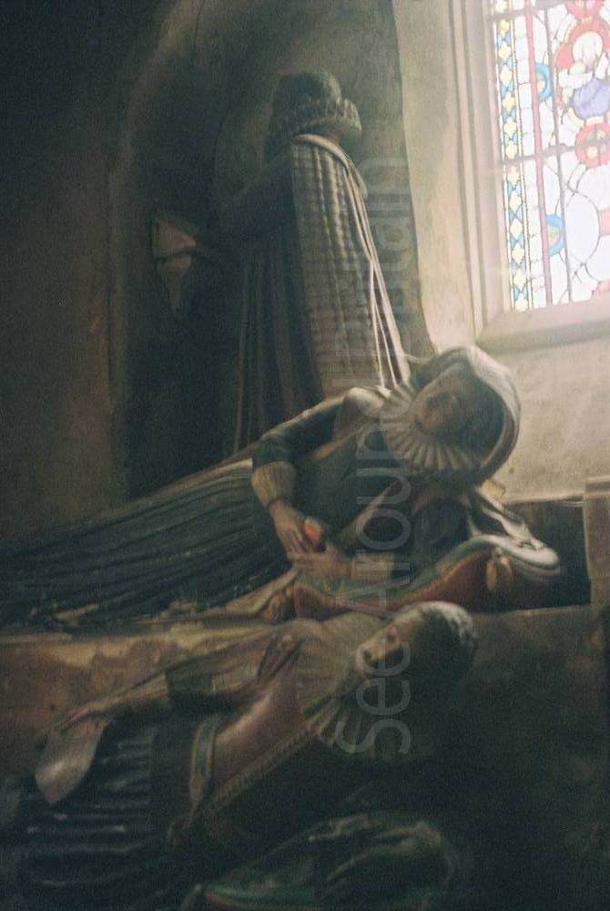
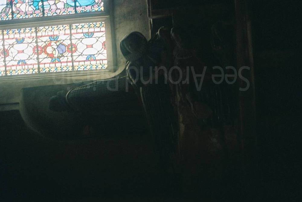
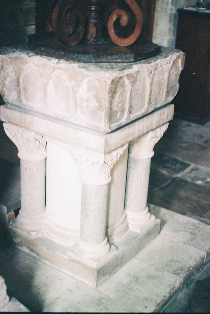
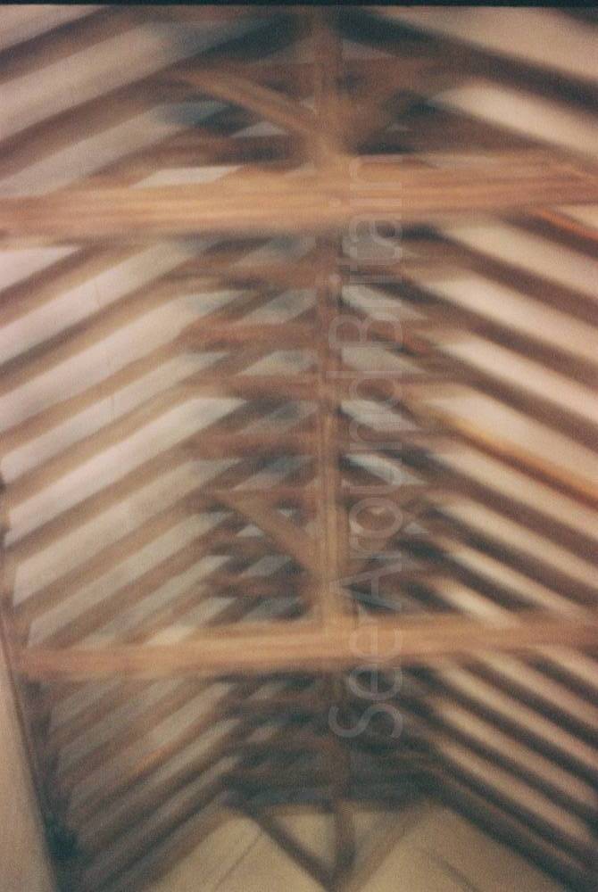
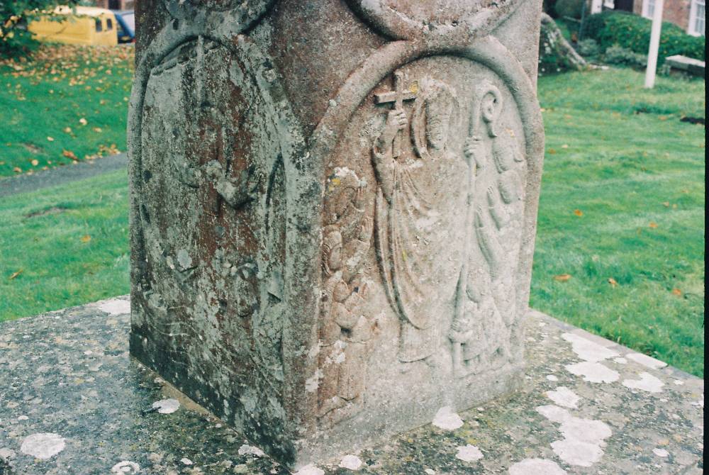
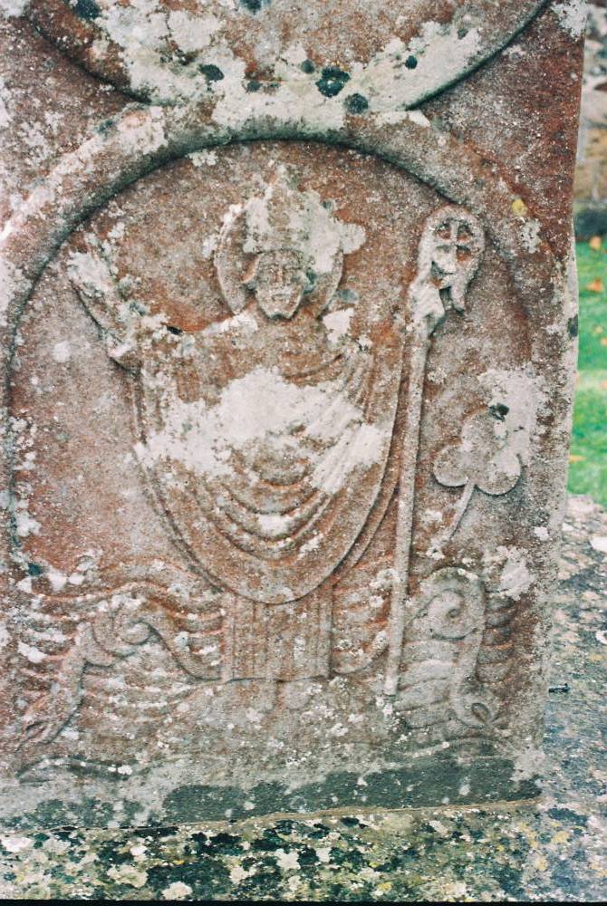
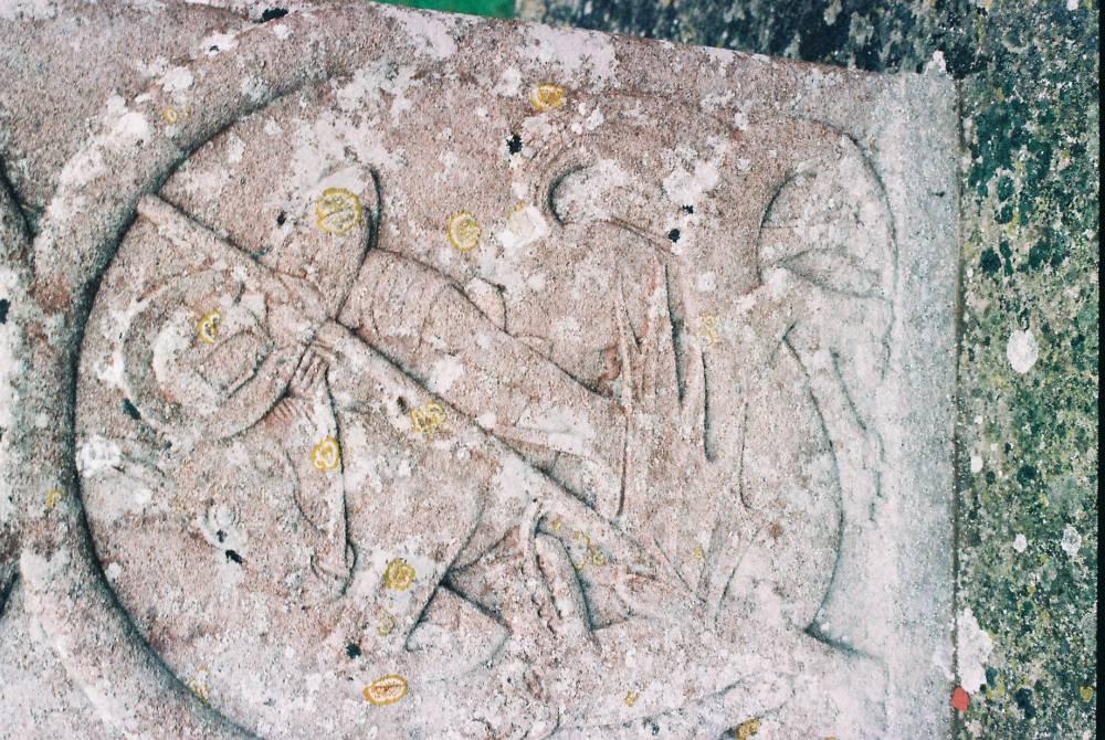
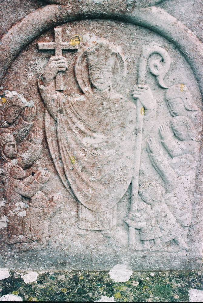
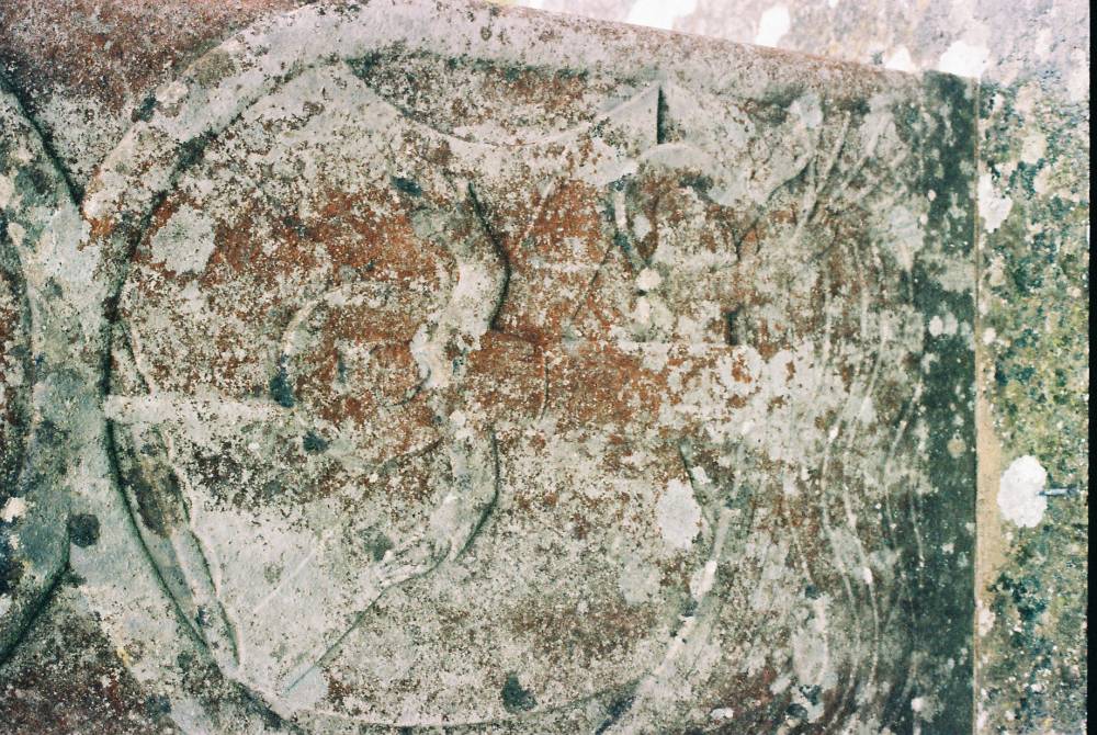
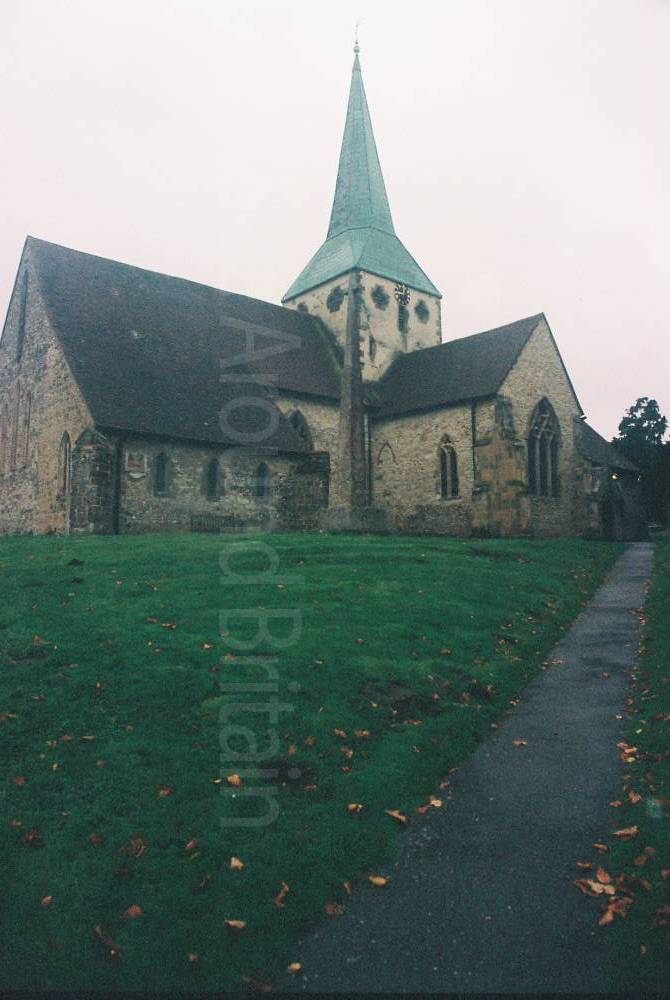
St Mary and St Gabriel's Church, South Harting, Sussex


Location:
Nearest Venues:


*Distances are calculated in a straight line from the current venue, please allow extra time/distance based on available paths or roads.