

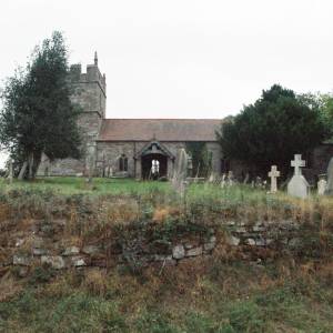
St Michael and All Angel, Stanton Long, Shropshire


Location:
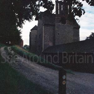
Nearest Venues:

St James Church, Shipton, Shropshire
1,496 metres*
The Holy Trinity, Holdgate, Shropshire
1,502 metres*

1,544 metres*
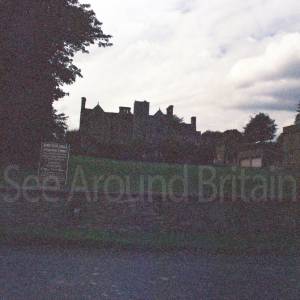
Shipton Hall, Shropshire NO LONGER OPEN TO THE PUBLIC
1,557 metres*

*Distances are calculated in a straight line from the current venue, please allow extra time/distance based on available paths or roads.