

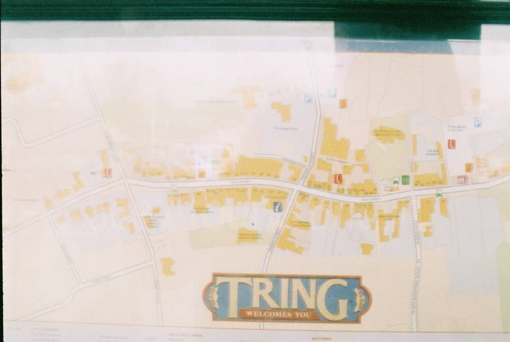
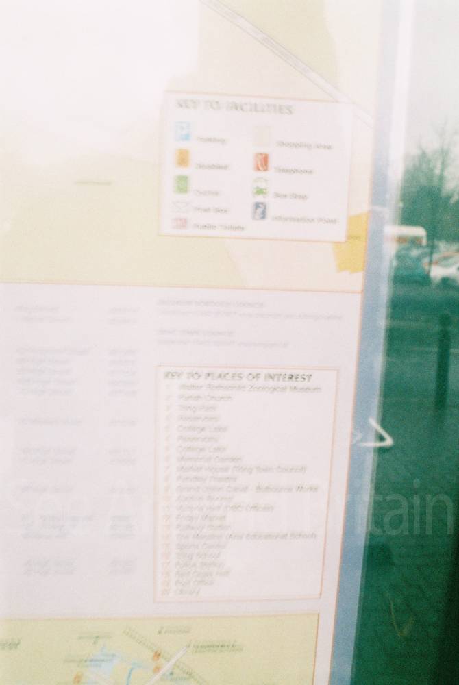
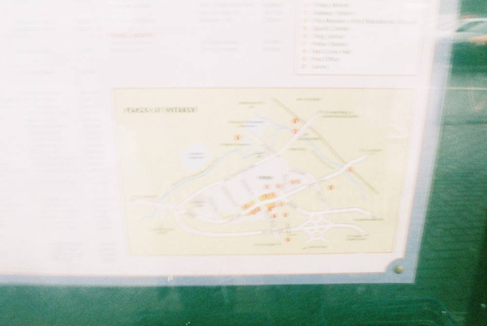
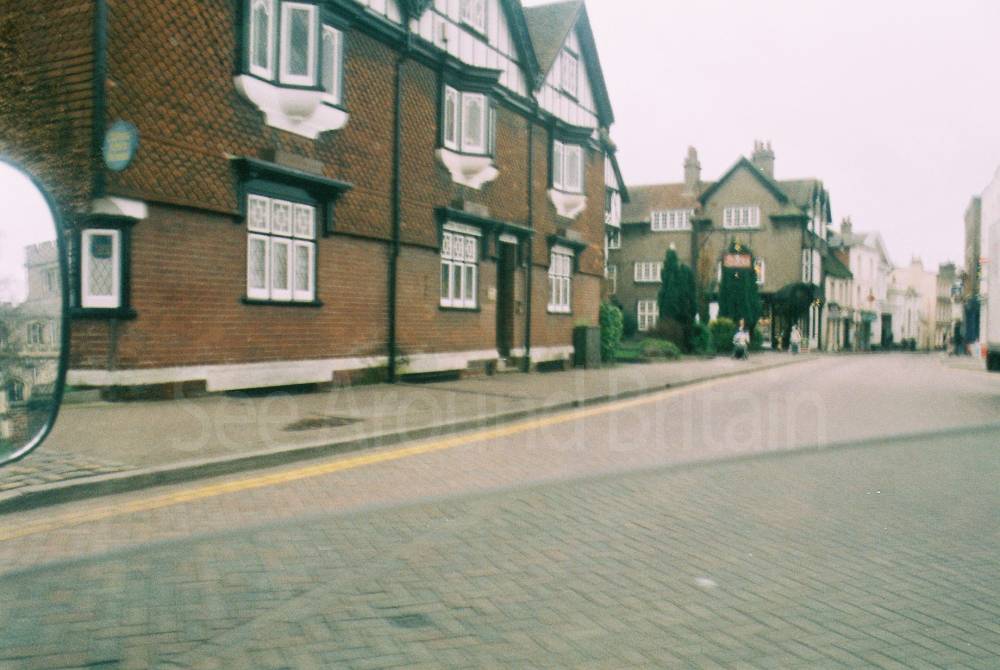
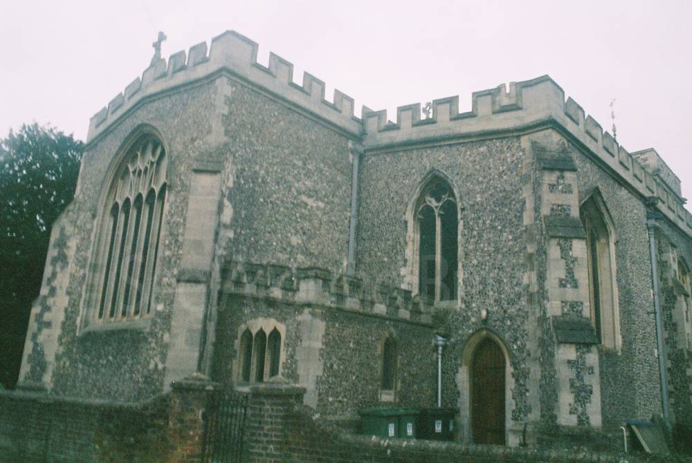
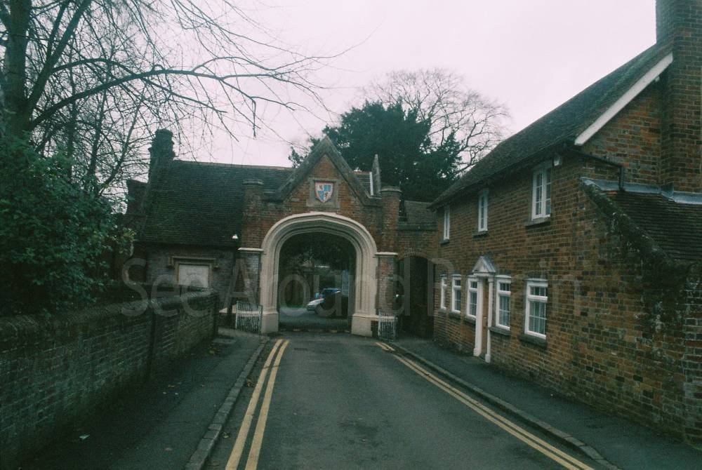
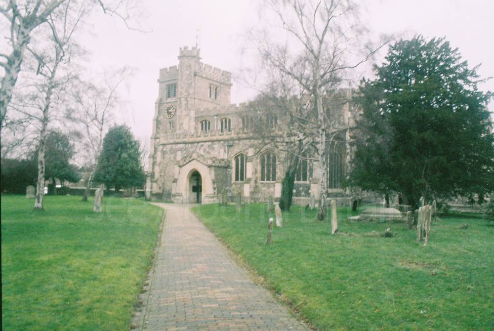
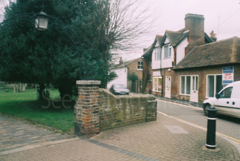
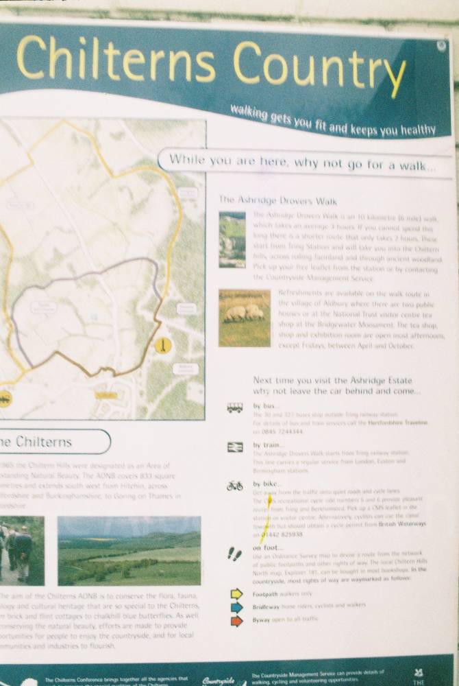
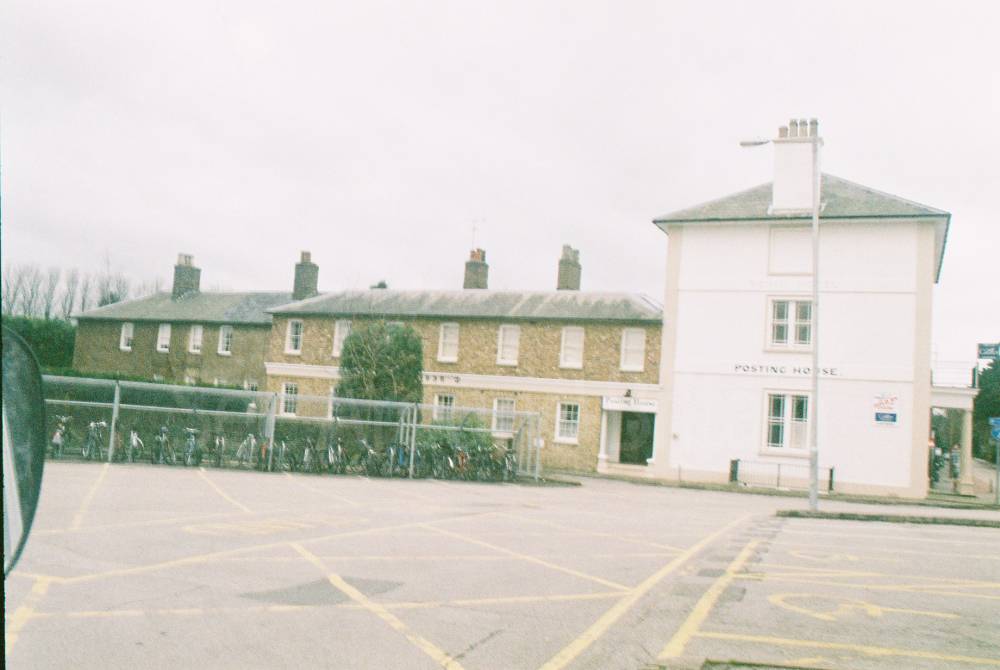
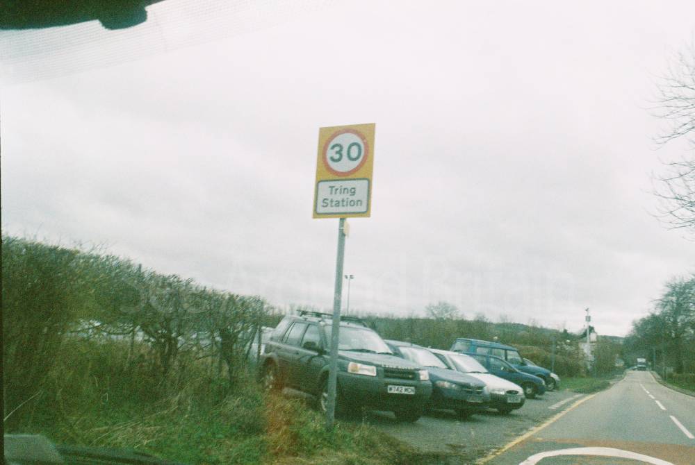
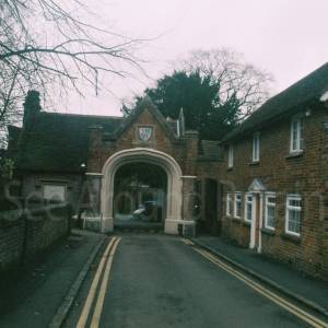
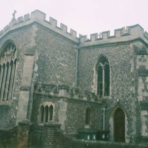
Tring, Hertfordshire
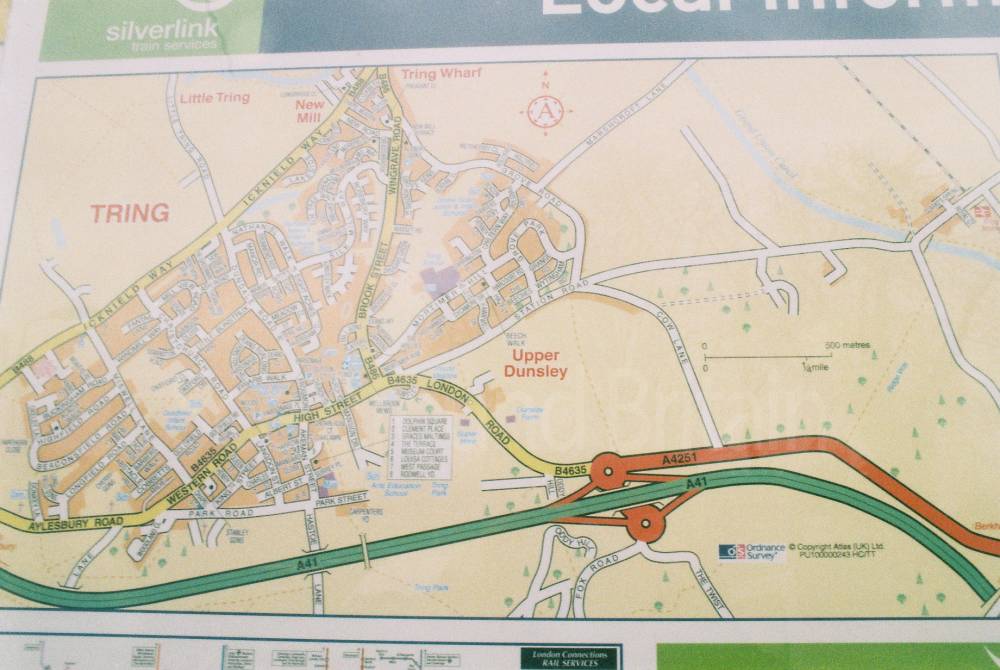


Location:
Nearest Venues:

The Forge Car Park, Tring, Hertfordshire
313 metres*


Tring Information Centre, Hertfordshire
539 metres*

Natural History Museum, Tring, Hertfordshire
699 metres*
*Distances are calculated in a straight line from the current venue, please allow extra time/distance based on available paths or roads.