

Sheffield, South Yorkshire - Open at all times. Free Entry.
Details
Accessibility:
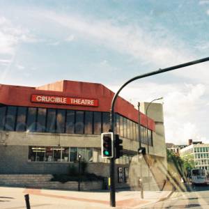
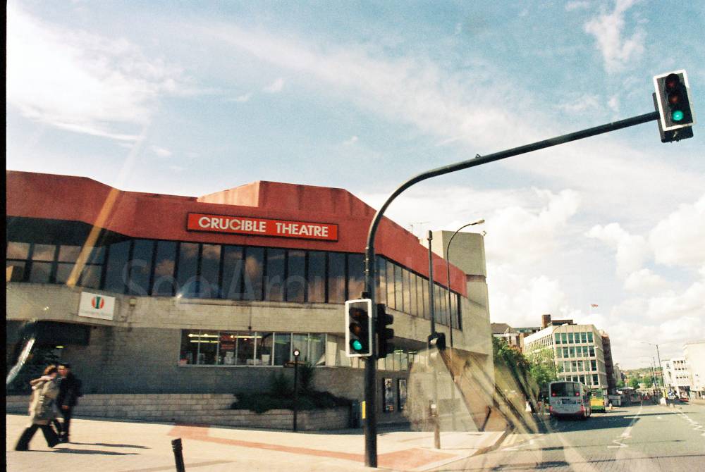
There are car parks with designated blue badge parking bays throughout the city centre. Sheffield is generally wheelchair-accessible, however it is advisable to check with individual venues prior to your visit. There are plenty of public toilets including disability toilets which are wheelchair-accessible in Sheffield. There are also several changing places toilets, the city centre ones are located at: Sheffield Town Hall, Crucible Theatre, The New Moor Market, Sheffield Hallam University, and Ponds Forge International Sports Centre.
Brief Description:
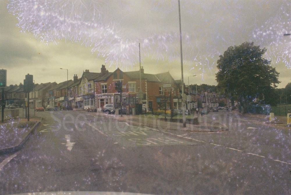
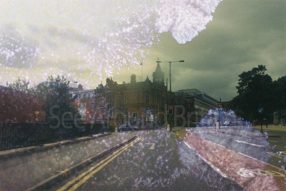
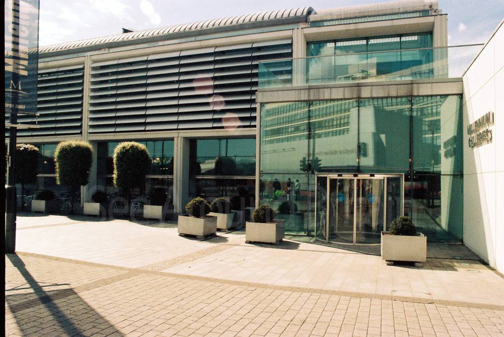
Sheffield is a city in South Yorkshire. It is known around the world as The Steel City. It has good transport links and its closest airport is Doncaster Sheffield Airport which is 18 miles from the city centre.
https://en.wikipedia.org/wiki/Sheffield
"Sheffield is a city[a] in South Yorkshire, England, situated 29 miles (47 km) south of Leeds and 32 miles (51 km) east of Manchester. The city is the administrative centre of the City of Sheffield. It is historically part of the West Riding of Yorkshire. It is the largest settlement in South Yorkshire[1][2][3] and the third largest of Northern England.[4]
The city is in the eastern foothills of the Pennines and the valleys of the River Don with its four tributaries: the Loxley, the Porter Brook, the Rivelin and the Sheaf. Sixty-one per cent of Sheffield's entire area is green space and a third of the city lies within the Peak District national park and is the fifth-largest city in England.[5][6] There are more than 250 parks, woodlands and gardens in the city,[5] which is estimated to contain around 4.5 million trees.[7]
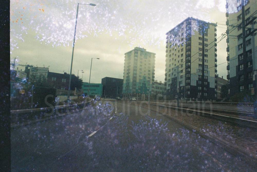
Sheffield played a crucial role in the Industrial Revolution, developing many significant technologies. In the 19th century, the city saw a huge expansion of its traditional cutlery trade, when processes for high-quality stainless steel and crucible steel were invented. This fuelled an almost tenfold increase in the population. Sheffield received its municipal charter in 1843, becoming the City of Sheffield in 1893. International competition in iron and steel caused a decline in these industries in the 1970s and 1980s, coinciding with the collapse of coal mining in the area. The Yorkshire ridings became counties in their own right in 1889; the West Riding of Yorkshire county was disbanded in 1974. The city then became part of the county of South Yorkshire; this has been made up of separately governed unitary authorities since 1986. The 21st century has seen extensive redevelopment in Sheffield, consistent with other British cities. Sheffield's gross value added (GVA) has increased by 60% since 1997, standing at £11.3 billion in 2015. The economy has experienced steady growth, averaging around 5% annually, which is greater than that of the broader region of Yorkshire and the Humber.[8]
Sheffield had a population of 556,500 at the 2021 census, making it the second-largest city in the Yorkshire and the Humber region. The Sheffield Built-up Area, of which the Sheffield sub-division is the largest part, had a population of 685,369 also including the town of Rotherham. The district borough, governed from the city, had a population of 566,242 at the mid-2019 estimate, making it the 7th-most-populous district in England. It is one of eleven British cities that make up the Core Cities Group.[9] In 2011, the unparished area had a population of 490,070.[10]
The city has a long sporting heritage and is home both to the world's oldest football club, Sheffield F.C.,[11] and the world's oldest football ground, Sandygate. Matches between the two professional clubs, Sheffield United and Sheffield Wednesday, are known as the Steel City derby. The city is also home to the World Snooker Championship and the Sheffield Steelers, the UK's first professional ice hockey team."
Further Information
Address:
66 Fargate, Sheffield, South Yorkshire S1 2HE
Email:
Via contact page of website: http://www.welcometosheffield.co.uk/contact-us
Phone:
0114 275 7754
Website:
http://www.welcometosheffield.co.uk/
https://www.bbc.co.uk/news/articles/cy0818y4jdlo
Opening Hours:
Open at all times.
Directions:
From Rotherham via Sheffield Parkway (9.7 miles). Head east towards Centenary Way. Exit the roundabout onto Centenary Way/A630. At the roundabout take the 2nd exit and stay on Centenary Way/A630. At the roundabout take the 2nd exit onto West Bawtry Road/A630/A631. At the roundabout take the 2nd exit onto Rotherway/A630. At the roundabout take the 2nd exit onto Sheffield Parkway/A630 and continue for 5.3 miles. Use the right 2 lanes to turn slightly right onto Derek Dooley Way/A57. At the roundabout take the 1st exit onto Corporation Street/A61. Slight left onto Corporation Street/B6539. Slight left onto West Bar Green/B6539. At the roundabout take the 2nd exit onto Townhead Street. Turn right onto Pinfold Street. Turn left onto Holly Street. Continue straight onto Balm Green. Balm Green turns left and becomes Barker’s Pool. Barker’s Pool turns left and becomes Leopold Street.
From Chesterfield via A61 (12.5 miles). Head south on Spa Lane towards Hollis Lane/A632. Turn right onto Hollis Lane/A632. At the roundabout take the 4th exit and stay on Hollis Lane/A632. Merge onto Rother Way/A61 via the slip road to Sheffield/Sheepbridge/A619/Chesterfield. At the roundabout take the 2nd exit onto A61. At the roundabout take the 3rd exit and stay on A61 for 5 miles. At the roundabout take the 1st exit onto Chesterfield Road South/A61. At the roundabout take the 2nd exit onto Meadowhead/A61 and follow for 2.9 miles. Continue straight onto London Road/B6388. Slight right into Asline Road. Use the right lane to turn slightly left onto Bramall Lane/A621. At the roundabout take the 1st exit onto St Mary’s Gate. At the roundabout take the 3rd exit to Moore Street. Continue onto Charter Row. Continue onto Furnival Gate. Furnival Gate turns left and becomes Pinstone Street. Turn right onto Burgess Street. Burgess Street turns right and becomes Barker’s Pool. Barker’s Pool turns left and becomes Leopold Street.
+ https://www.cyclesheffield.org.uk/
OS SK353872
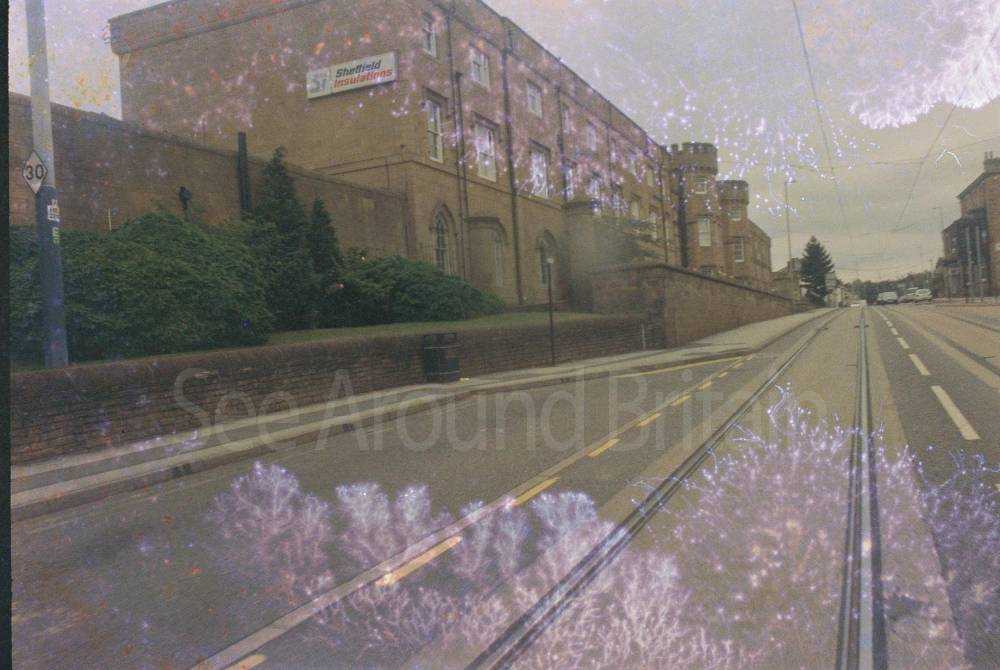
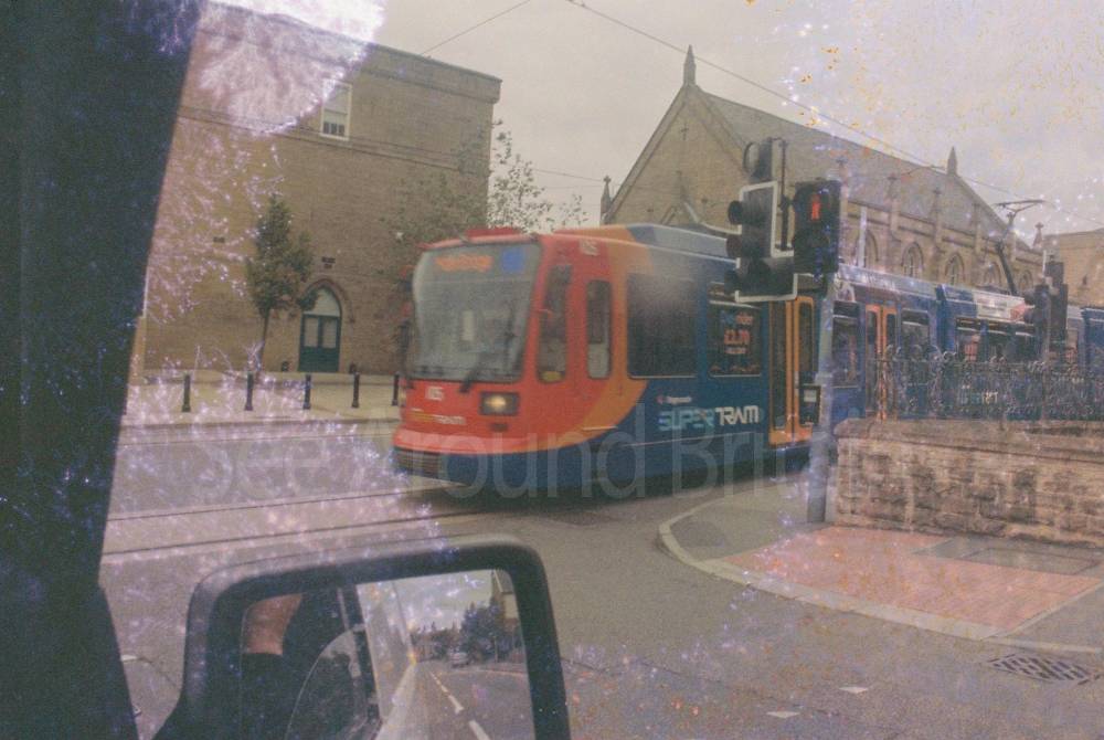
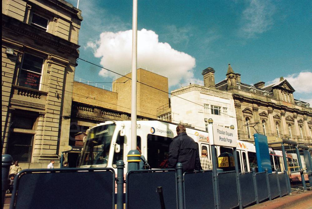
Transport:
The closest railway station is Sheffield. Buses operate in and around the area. There is also a tram system. For more travel information go to http://www.traveline.info or call 0871 200 22 33.
https://en.wikipedia.org/wiki/Transport_in_Sheffield
Amenities:
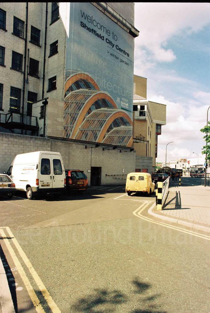
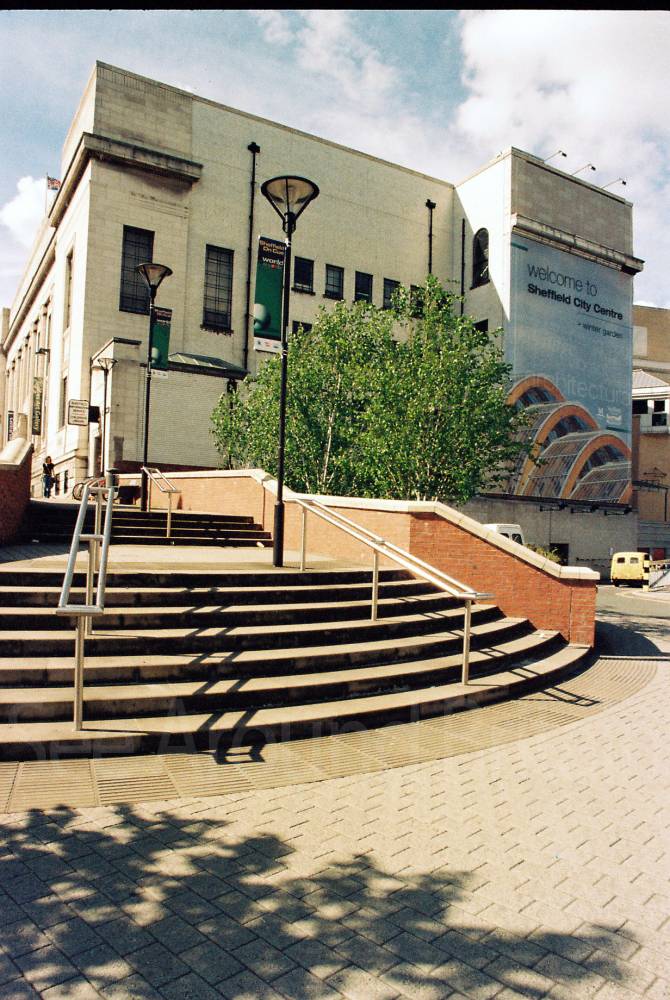
There are a wealth of attractions in Sheffield including bars, restaurants, hotels, bed-and-breakfast and self-catering accommodation, along with shopping, theatres and museums and an array of outdoor activities. There is also a visitor centre with professional tourism staff at The Winter Gardens in Surrey Street.
Travel Information
For further travel information please see: www.traveline.info
Or call Traveline on 0871 200 22 33
(Calls cost 12p per minute plus your phone company's access charge)
Location
Nearest Venues


217 metres*


Lyceum Theatre, Sheffield, South Yorkshire
239 metres*
*Distances are calculated in a straight line from the current venue, please allow extra time/distance based on available paths or roads.