


Location:
Nearest Venues:


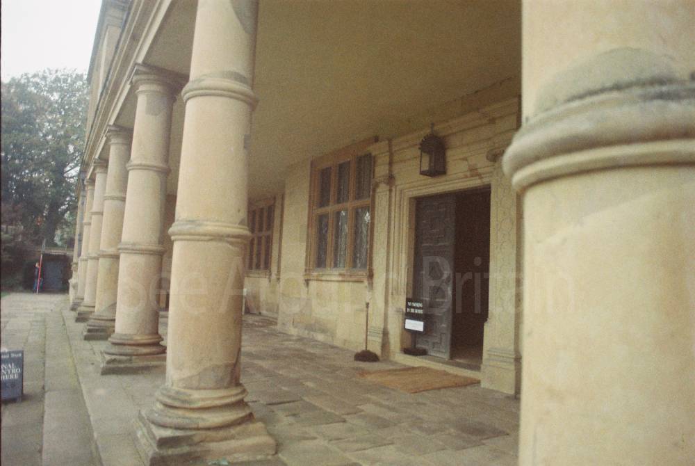
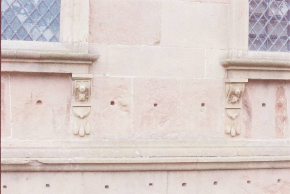
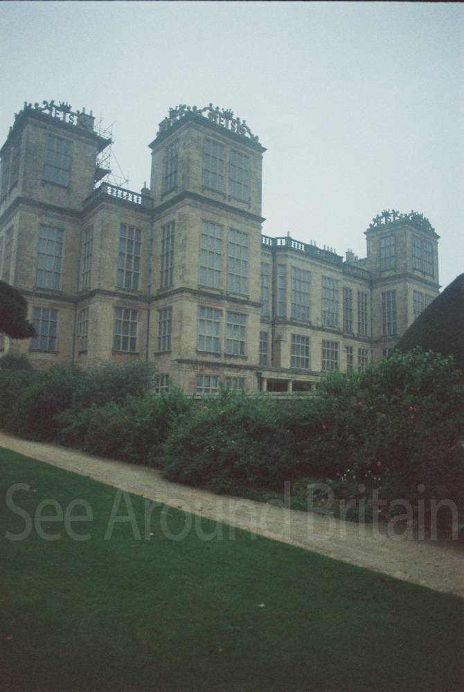
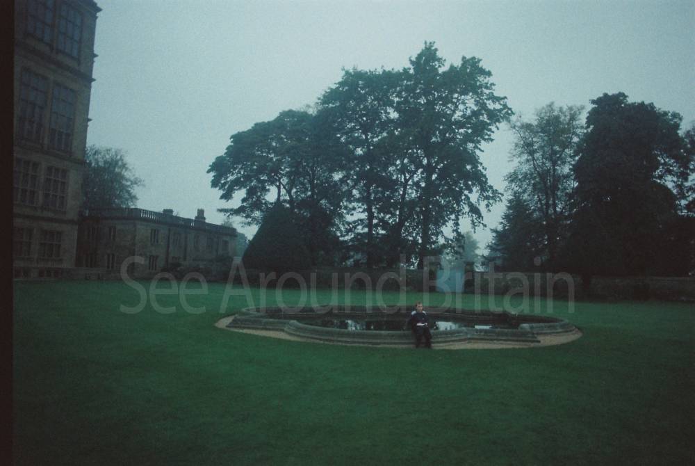
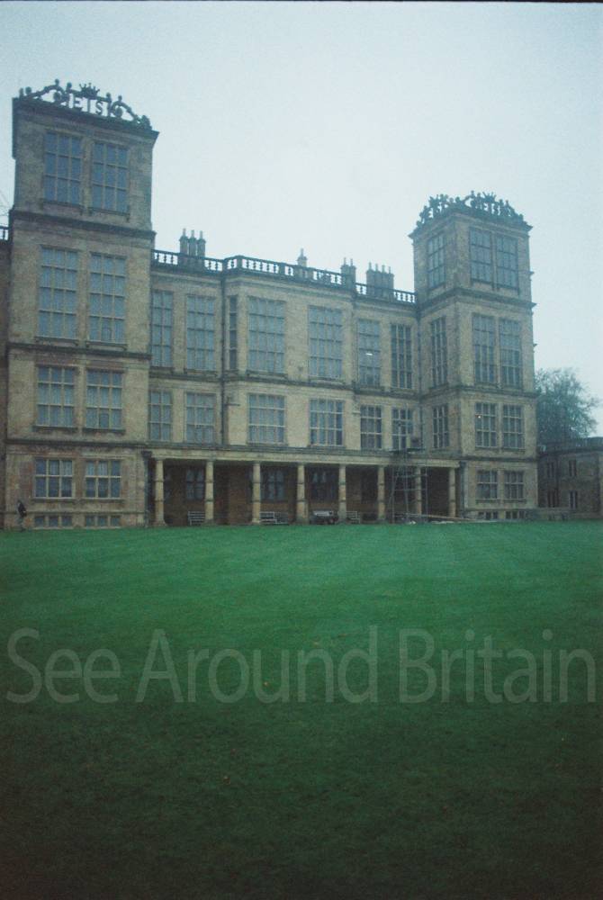
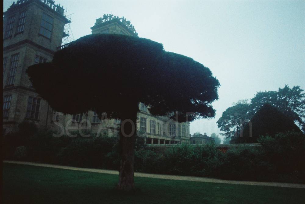
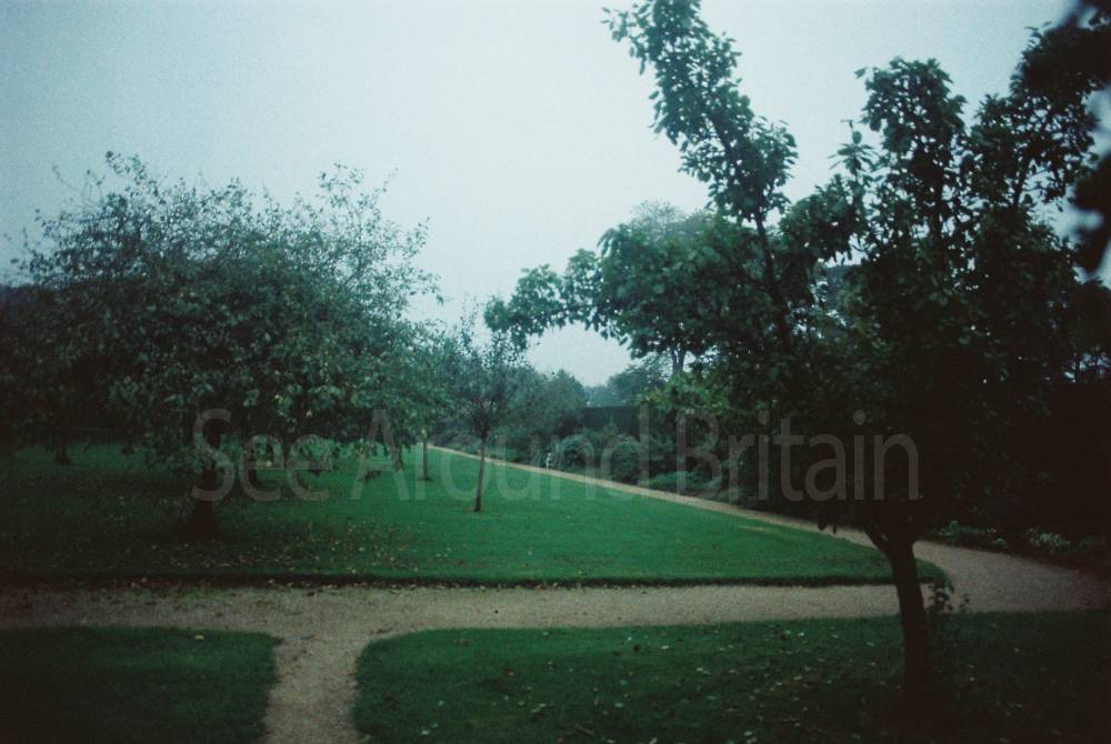
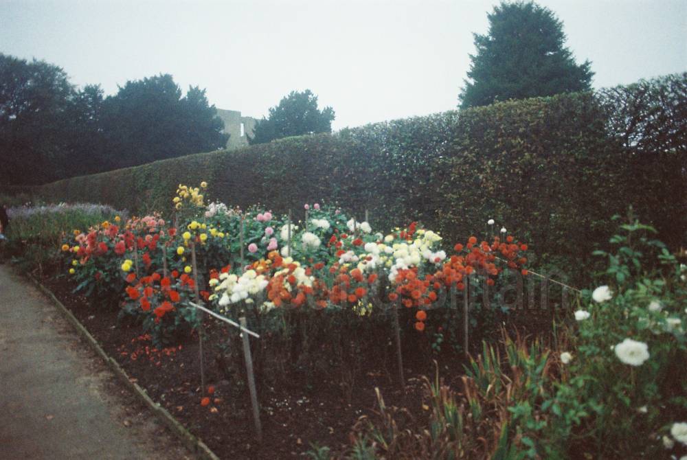
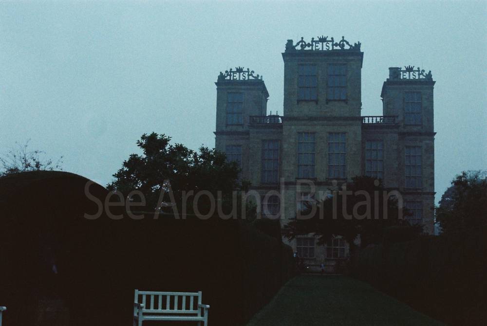
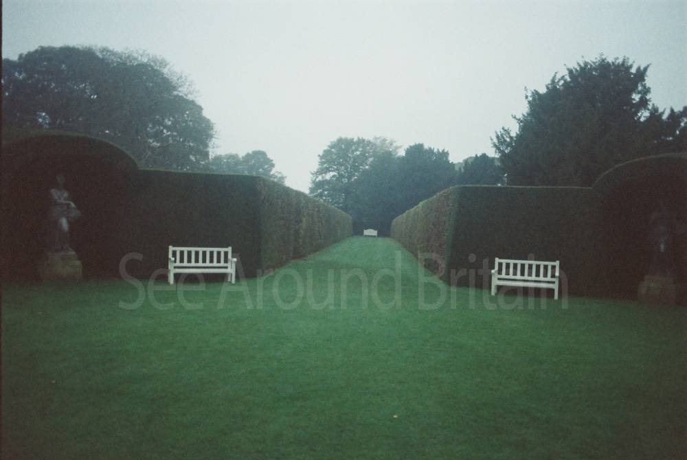
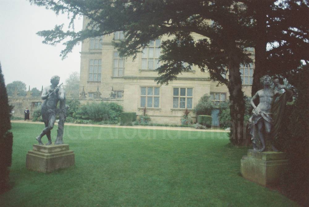
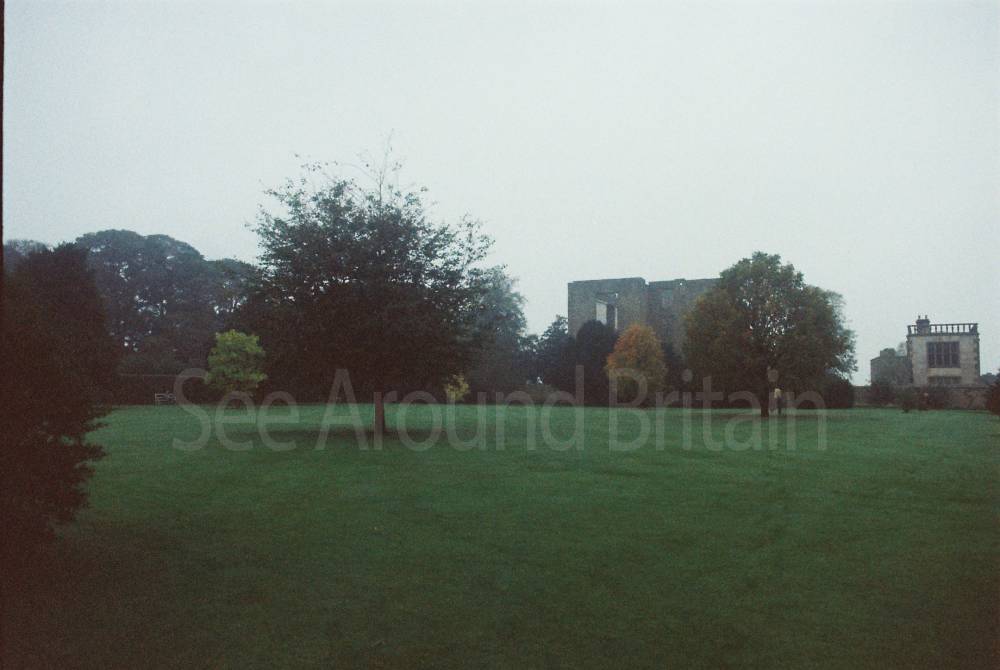
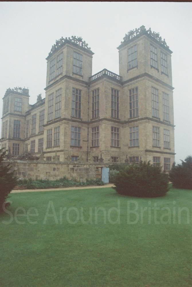
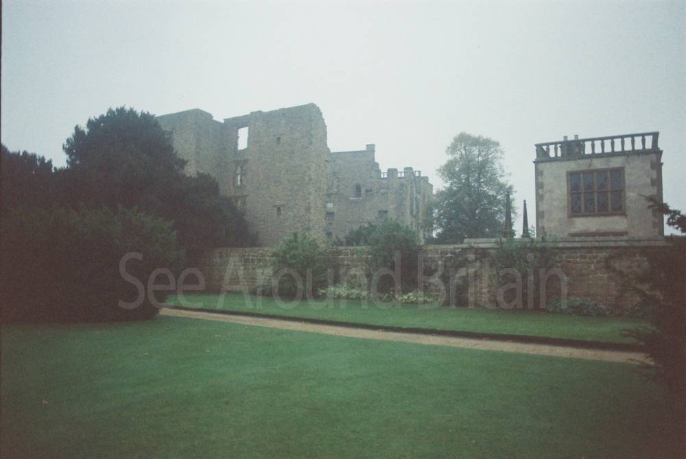
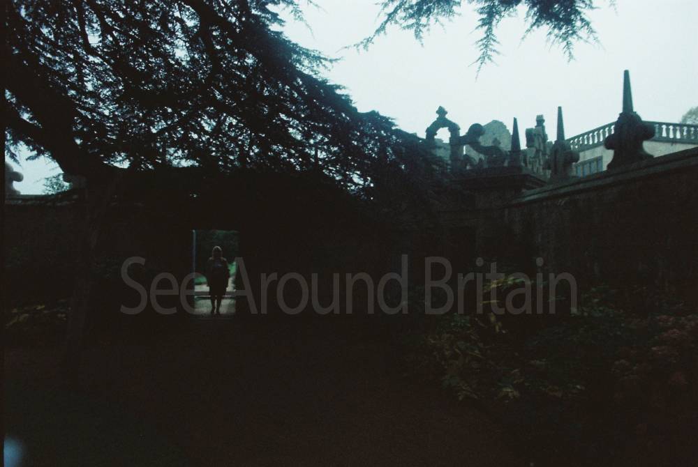
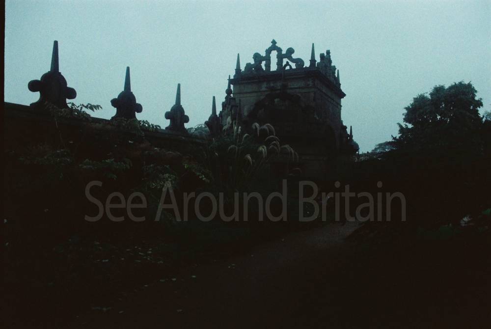
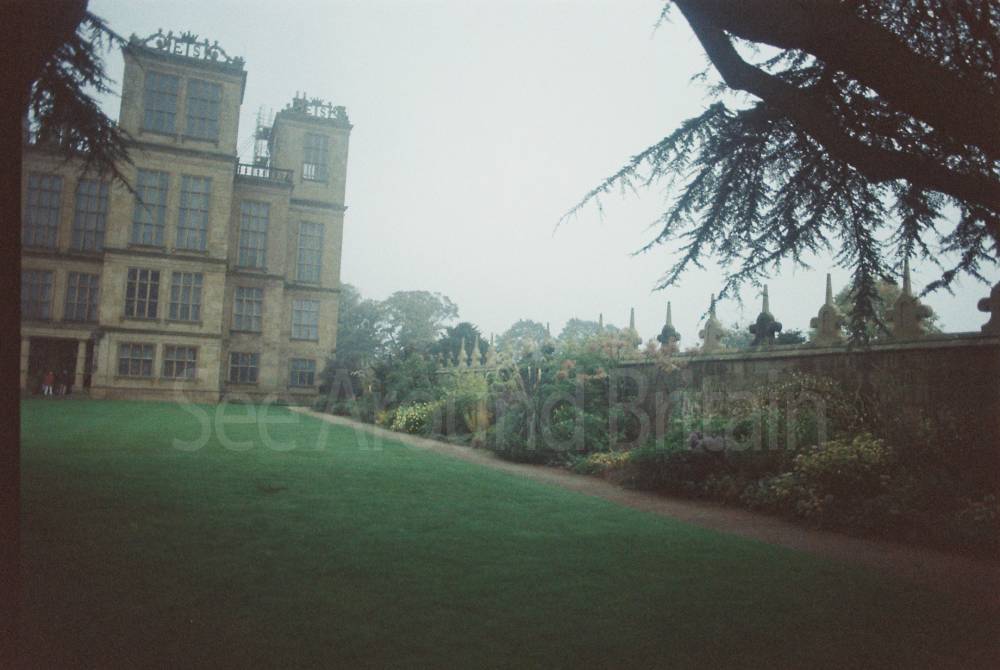
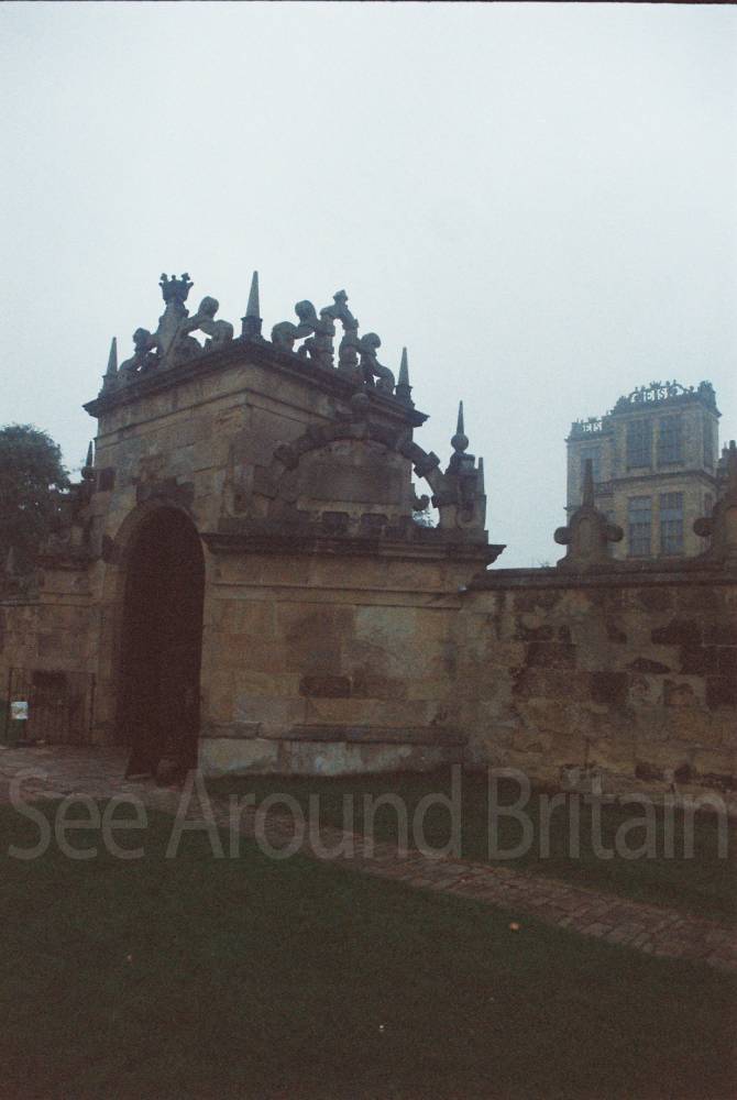
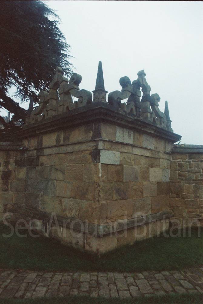
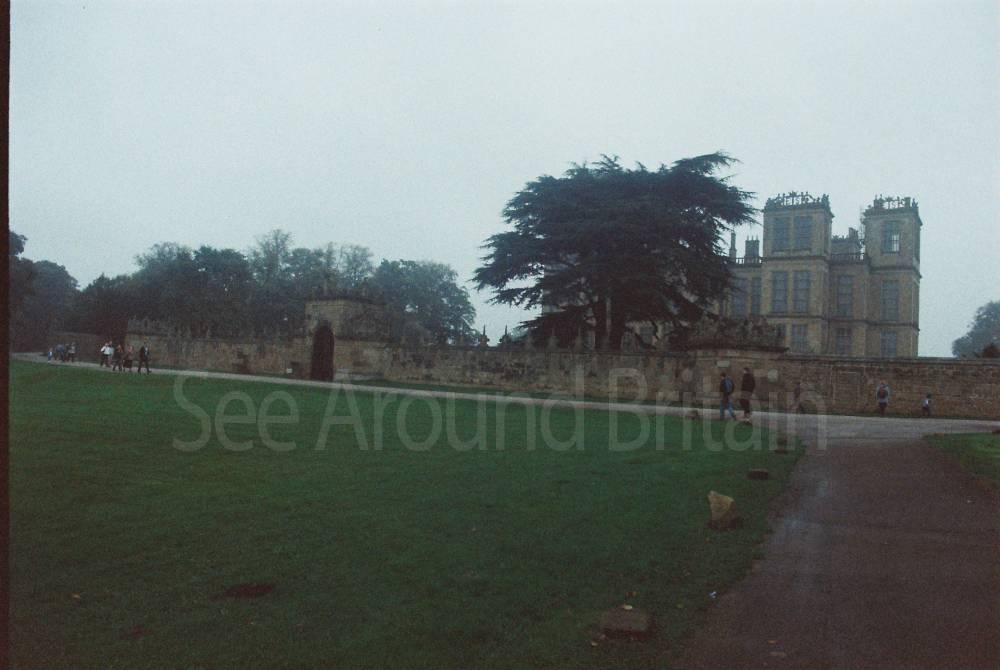
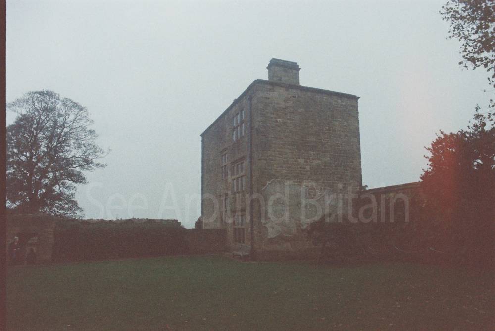
Hardwick Park, Chesterfield, Derbyshire S44 5QJ
1,016 metres*


St Katherine's Church, Teversal, Nottinghamshire
1.70 miles*
*Distances are calculated in a straight line from the current venue, please allow extra time/distance based on available paths or roads.