

Imber Village, near Salisbury, Wiltshire
Details
Accessibility
Brief description
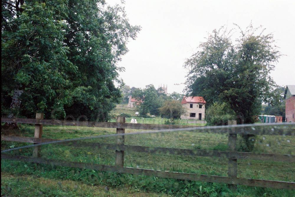
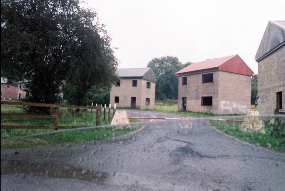
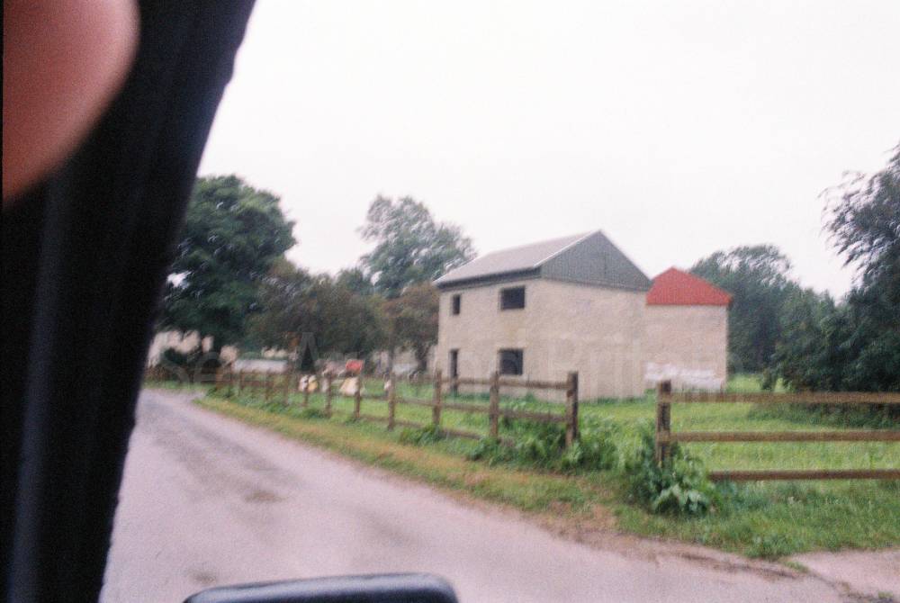
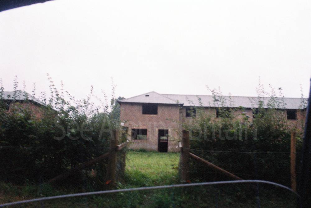
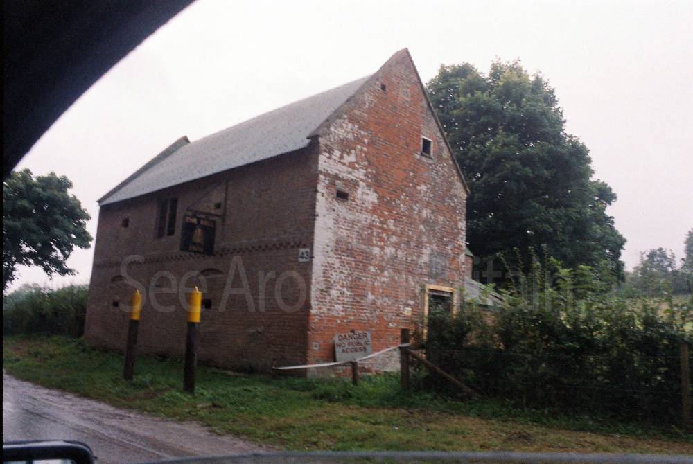
“Imber is a unique and evocative village situated on Salisbury Plain in Wiltshire, England. Evacuated during World War II in 1943 to facilitate military training, it remains largely uninhabited, with the Ministry of Defence (MoD) controlling access. The village is occasionally opened to the public, offering a rare glimpse into its history and the poignant remnants of its past.”
Address
Phone
Website
https://en.wikipedia.org/wiki/Imber
Directions
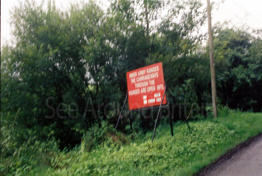
“Imber can be approached from Warminster (off the B3414) and the A360 (Salisbury to Devizes road) at Gore Cross between Tilshead and West Lavington; also, from Bratton (off the B3098) and Heytesbury (off the A36).
Imber does not have a Postcode. The grid reference is ST965 485.
It seems that quite a few people miss the turning from the A360. Coming from Salisbury and three miles from Tilshead take the left turn just after the sign displaying West Lavington ahead and The Ridgeway to the right. Coming from Devizes and one and three quarter miles from West Lavington take the right turn just after the sign displaying Tilshead ahead and The Ridgeway to the left. Having made the turn keep straight on, passing a group of white houses on the left. Imber village is three and a half miles from the main road. If coming from Warminster take the Imber Road, passing the garrison church of St Giles and Waterloo Lines (previously known as The Land Warfare Centre) on the left. Keep straight on for approximately six miles until you reach Imber village.”
Opening Times
https://www.visitwiltshire.co.uk/whats-on/imber-open-days-p2531933
Always check with the venue directly for up-to-date information including opening times and admission charges as they may be subject to change
Transport
Amenities
Travel Information
For further travel information please see: www.traveline.info
Or call Traveline on 0871 200 22 33
(Calls cost 12p per minute plus your phone company's access charge)
Location
Nearest Venues

314 metres*

2.02 miles*


St George's Church, Orcheston, Wiltshire
2.44 miles*

Gate Lodge, Shrewton, Wiltshire
3.23 miles*

*Distances are calculated in a straight line from the current venue, please allow extra time/distance based on available paths or roads.