

Colwall Village, Herefordshire


Details
Accessibility
Brief description
https://en.wikipedia.org/wiki/Colwall
"a civil parish in Herefordshire, England, situated on the border with Worcestershire, nestling on the western side of the Malvern Hills at the heart of the AONB.[2] Areas of the village are known as Colwall Stone, Upper Colwall which shares a common border at the Wyche Cutting with the Malvern suburb of Malvern Wells, and Colwall Green, spread along 2 miles (3.2 km) of the B4218 road, with the historic village core (at the parish church) being 1 mile (1.6 km) to the west of Colwall Stone.
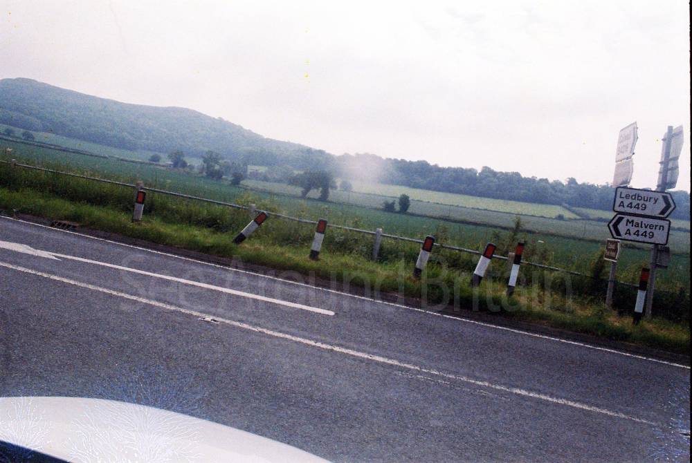
A feature of Colwall is the view of the Iron Age British Camp (Herefordshire Beacon), which largely falls within the southeast corner of the parish. The towns of Ledbury and Malvern are 5 miles (8.0 km) southwest and 3 miles (4.8 km) northeast respectively from Colwall Stone, via the B4218. Colwall is often included in the informal region referred to as "The Malverns", which refers to the Malvern Hills and the surrounding settlements."
Address
Phone
Website
https://en.wikipedia.org/wiki/Colwall
Directions
Opening Times
Always check with the venue directly for up-to-date information including opening times and admission charges as they may be subject to change
Transport
Amenities
Travel Information
For further travel information please see: www.traveline.info
Or call Traveline on 0871 200 22 33
(Calls cost 12p per minute plus your phone company's access charge)
Location
Nearest Venues


Library and Clock Tower, Colwall, Herefordshire
1,082 metres*


Upper Colwall, Malvern, Worcestershire
1.20 miles*

*Distances are calculated in a straight line from the current venue, please allow extra time/distance based on available paths or roads.